Old Maps of Buena Vista, North Carolina for Metal Detecting
Plan your next treasure hunt with 9 historic maps of Buena Vista. Find old homesites, ghost towns, trails, and gathering spots that may be lost to time — perfect for identifying promising metal detecting locations.
- Locate forgotten sites: Uncover places like long-lost settlements, abandoned rail lines, or gathering spots.
- Plan better hunts: Use map overlays combined with LiDAR or satellite views to narrow in on historically rich areas.
- Made for detectorists: Thousands of hobbyists use these maps to discover relics, coins, and hidden history.
Use these historic maps to boost your research and find new opportunities beneath the surface of Buena Vista.
Buena Vista, NC maps
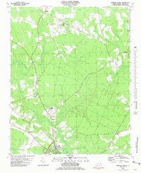
(9)- 1953 Map of Norfolk, 1954 Print
 1953 Norfolk1954 Print · USGSCoastal Virginia and northeastern North Carolina appear here during the post-war industrial boom, showing the critical rail-and-sea connections of Hampton Roads. Genealogists can trace family roots through rural landmarks like Gethsemane Ch, the Caledonia State Prison Farm, and the vast interior of the Dismal Swamp.4 unique versions available
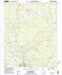
 - 1981 Map of Windsor North
 1981 Windsor North1981 Print · USGSBertie County in the early eighties is a landscape of river-fed wetlands and quiet rural crossroads. Genealogists and historians can trace the foundations of the community through several country churches like Cedar Fork Ch and St Matthews Ch, or explore the remnant Old Railroad Grade north of Windsor.
 - 1985 Map of Elizabeth City
 1985 Elizabeth City1985 Print · USGSCoastal North Carolina's rivers and sounds define the landscape of the mid-eighties, from the vast swamps to the historical waterfronts of Elizabeth City and Edenton. Researchers can trace the rail lines of the Southern Ry or locate landmarks like Beaver Hill Cem and South Mills.2 unique versions available
 - 2000 Map of Windsor North, 2002 Print
 2000 Windsor North2002 Print · USGSBertie County at the start of the 21st century shows a landscape where historic wetlands like Pell Mell Pocosin still dictate the flow of commerce and travel. Genealogists can trace family footprints through numerous cemeteries and rural landmarks like Askewville, St Matthews Ch, and the Old Railroad Grade.
 - 2011 Map of Windsor North, 2011 Print
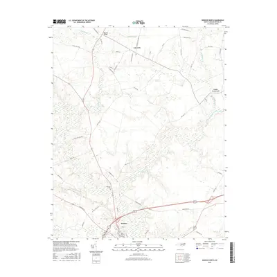
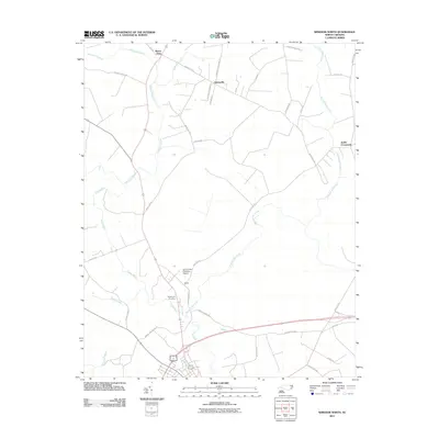 2011 Windsor North2011 Print · USGSCovers Buena Vista, including Windsor, Askewville, and other nearby areas
 - 2013 Map of Windsor North, 2013 Print
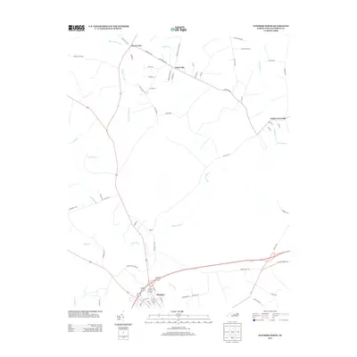 2013 Windsor North2013 Print · USGSCovers Buena Vista, including Windsor, Askewville, and other nearby areas
 - 2016 Map of Windsor North, 2016 Print
 2016 Windsor North2016 Print · USGSCovers Buena Vista, including Windsor, Askewville, and other nearby areas
 - 2019 Map of Windsor North, 2019 Print
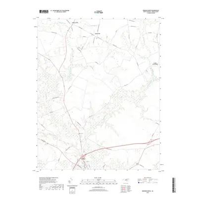 2019 Windsor North2019 Print · USGSCovers Buena Vista, including Windsor, Askewville, and other nearby areas
 - 2022 Map of Windsor North, 2022 Print
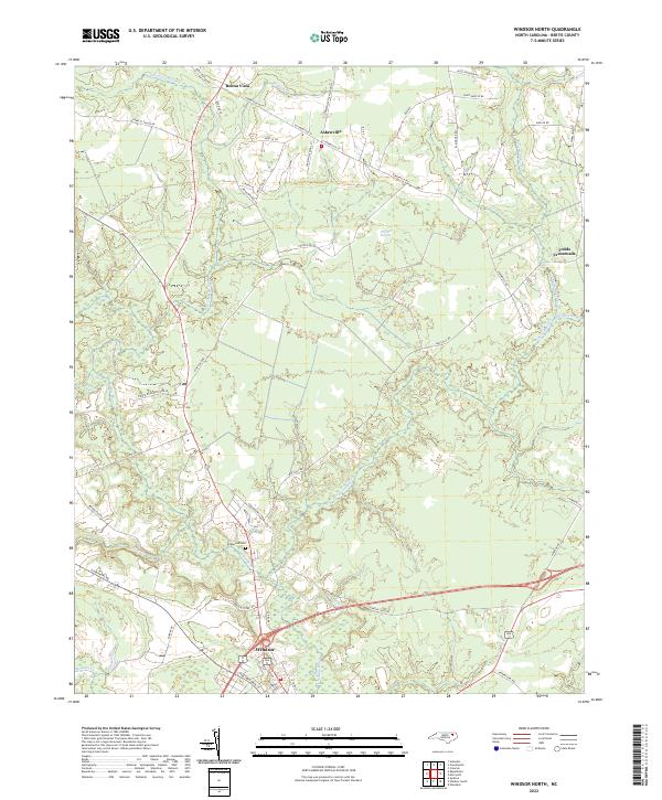 2022 Windsor North2022 Print · USGSThe Bertie County interior north of the Cashie River is shown in this recent survey of rural settlements and wetlands. Researchers can trace family-named roads like Lewis Mizelle Rd and locate the historic Edgewood Cem near Windsor.
End of results
Showing maps 1-9 of 9
Top cities near Buena Vista
- Ahoskie historical maps
- Windsor historical maps
- Aulander historical maps
- Lewiston Woodville historical maps
- Cofield historical maps
- Powellsville historical maps
See more
Frequently asked questions
- What are the different types of historical maps available for Buena Vista?
- What is the oldest map of Buena Vista?
- Where can I purchase historical maps of Buena Vista for my home or office?
- Where can I download high-res historical maps of Buena Vista?
- Are there historical topographic maps available for Buena Vista?
- Is there historical aerial imagery available for Buena Vista?
- Where are historical maps of Buena Vista sourced from?