Old Maps of Mill Branch, North Carolina for Metal Detecting
Plan your next treasure hunt with 12 historic maps of Mill Branch. Find old homesites, ghost towns, trails, and gathering spots that may be lost to time — perfect for identifying promising metal detecting locations.
- Locate forgotten sites: Uncover places like long-lost settlements, abandoned rail lines, or gathering spots.
- Plan better hunts: Use map overlays combined with LiDAR or satellite views to narrow in on historically rich areas.
- Made for detectorists: Thousands of hobbyists use these maps to discover relics, coins, and hidden history.
Use these historic maps to boost your research and find new opportunities beneath the surface of Mill Branch.
Mill Branch, NC maps
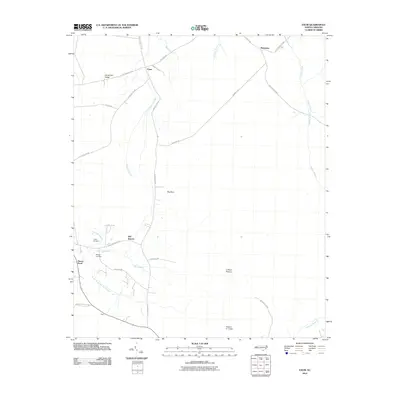
(12)- 1943 Map of Exum, 1962 Print
 1943 Exum1962 Print · USGSBrunswick County at the height of the Second World War reveals a landscape defined by the deep reaches of the Green Swamp. Local historians can trace family ties at Union Ch and Milligan Cem, or follow the Old RR Grade through the timbered wetlands.
 - 1953 Map of Florence, 1964 Print
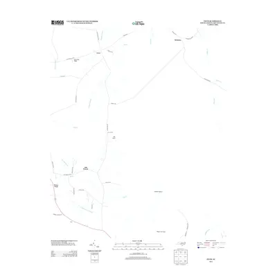
 1953 Florence1964 Print · USGSThe Carolina borderlands in the mid-fifties were a landscape of vast river swamps and rising rail towns. Trace the legacy of the Seaboard Air Line through Florence or explore the wetlands surrounding Lake Waccamaw and the Green Swamp.3 unique versions available
 - 1954 Map of Florence
 1954 Florence1954 Print · USGSThe Carolinas borderlands come alive in the early fifties, showing the vital rail-and-river networks of the coastal plain. Genealogists can trace family footprints across the Green Swamp or through settlements like Red Springs, Chadbourn, and McColl.
 - 1986 Map of Whiteville
 1986 Whiteville1986 Print · USGSSoutheastern North Carolina and the South Carolina borderlands are captured here in the mid-1980s as a landscape of vast swamps and rail towns. Researchers can trace historic rail routes through Chadbourn, locate the namesake Lake Waccamaw, and explore family-named sites like Peacocks.
 - 1990 Map of Exum
 1990 Exum1990 Print · USGSThis coastal North Carolina interior was still a landscape of vast wetlands and scattered settlements in the 1990s. Genealogists and local historians can trace family ties at Exum and Makatoka, or find rural landmarks like St Matthew Ch and Griffin Cem.
 - 1990 Map of Whiteville
 1990 Whiteville1990 Print · USGSSoutheastern North Carolina and the South Carolina borderlands appear in the late twentieth century, showing a landscape of river-swamps and tobacco towns. Researchers can trace family history through sites like Mount Olive Ch, the Seaboard Coast Line RR, and rural centers like Tabor City.
 - 2002 Map of Exum
 2002 Exum2002 Print · USGSCoastal Brunswick County comes into focus in this late-century survey, centered on the communities of Exum and Makatoka. Local historians can trace family roots through numerous small landmarks like Griffin Cem, St Matthew Ch, and Ludlum Pasture.
 - 2010 Map of Exum, 2010 Print
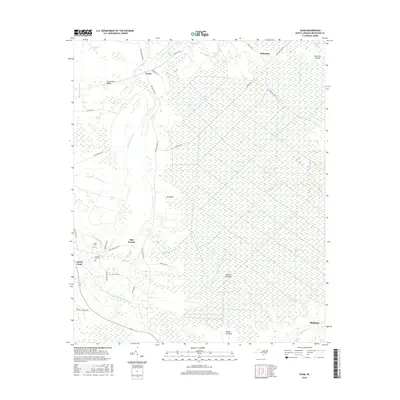
 2010 Exum2010 Print · USGSCovers Mill Branch, including Shallotte, Exum, and other nearby areas
 - 2013 Map of Exum, 2013 Print
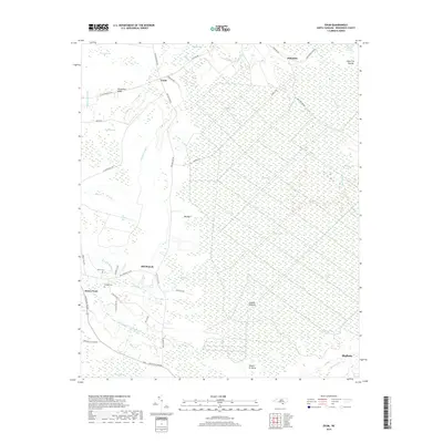
 2013 Exum2013 Print · USGSCovers Mill Branch, including Shallotte, Exum, and other nearby areas
 - 2016 Map of Exum, 2016 Print
 2016 Exum2016 Print · USGSCovers Mill Branch, including Shallotte, Exum, and other nearby areas
 - 2019 Map of Exum, 2019 Print
 2019 Exum2019 Print · USGSCovers Mill Branch, including Shallotte, Exum, and other nearby areas
 - 2022 Map of Exum, 2022 Print
 2022 Exum2022 Print · USGSBrunswick County wetlands and rural settlements are mapped here in the early twenty-first century. Genealogists can locate family landmarks like Griffin Cem and Milligan Cem near the communities of Exum and Mill Branch.
End of results
Showing maps 1-12 of 12
Top cities near Mill Branch
- North Myrtle Beach historical maps
- Sunset Beach historical maps
- Carolina Shores historical maps
- Shallotte historical maps
- Lake Waccamaw historical maps
- Holden Beach historical maps
See more
Frequently asked questions
- What are the different types of historical maps available for Mill Branch?
- What is the oldest map of Mill Branch?
- Where can I purchase historical maps of Mill Branch for my home or office?
- Where can I download high-res historical maps of Mill Branch?
- Are there historical topographic maps available for Mill Branch?
- Is there historical aerial imagery available for Mill Branch?
- Where are historical maps of Mill Branch sourced from?