2000s (21st Century) Maps of Perkinsville, North Carolina
Explore 6 historic maps of Perkinsville from the 2000s (21st Century). These maps offer a rare glimpse into what life looked like during the 2000s — showing old roads, neighborhoods, homes, and landmarks that have changed or disappeared over time.
Whether you're researching your family's past, planning a metal detecting trip, or studying how Perkinsville's landscape evolved across the 2000s, these high-resolution maps are a powerful tool for exploring the history of this region.
- Focus on a specific era: All maps on this page are from the 2000s, giving you a focused view of this time period.
- See what’s changed: Compare century-old streets, trails, and buildings to today's modern landscape using overlays and satellite layers.
- Research with precision: Use these maps for genealogy, historical research, land use analysis, or educational projects.
- View, download, or print: Maps are fully viewable online in high resolution, and can be downloaded or printed for your own records.
Start exploring Perkinsville's history through authentic maps from the 2000s. This is your window into the past.
Perkinsville, NC maps
(6)- 2002 Map of Morganton North, 2003 Print
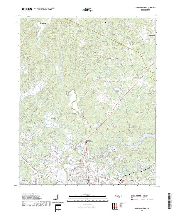
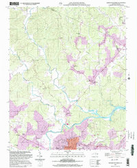 2002 Morganton North2003 Print · USGSBurke County at the turn of the millennium shows the intersection of deep-rooted rural communities and modern municipal growth near the Catawba River. Researchers can trace old family footprints at Arneys Store, Corpening Sch, and Littlejohn Ch.
 - 2010 Map of Morganton North, 2010 Print
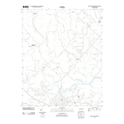 2010 Morganton North2010 Print · USGSCovers Perkinsville, including Morganton, Drexel, and other nearby areas
 - 2013 Map of Morganton North, 2013 Print
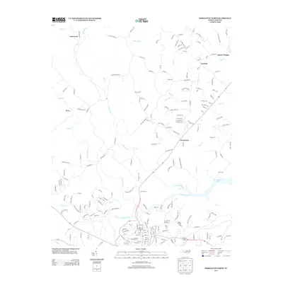 2013 Morganton North2013 Print · USGSCovers Perkinsville, including Morganton, Drexel, and other nearby areas
 - 2016 Map of Morganton North, 2016 Print
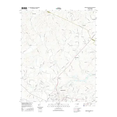 2016 Morganton North2016 Print · USGSCovers Perkinsville, including Morganton, Drexel, and other nearby areas
 - 2019 Map of Morganton North, 2019 Print
 2019 Morganton North2019 Print · USGSCovers Perkinsville, including Morganton, Drexel, and other nearby areas
 - 2022 Map of Morganton North, 2022 Print
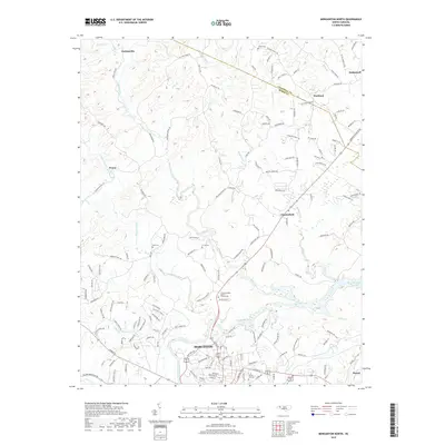
 2022 Morganton North2022 Print · USGSBurke and Caldwell counties are shown here in the 2020s as the river valleys of the Foothills continue to evolve. Researchers can trace family history through sites like Catawba Valley Baptist Church Cem, Worry, and Houck Cem.
End of results
Showing maps 1-6 of 6
Top cities near Perkinsville
- Lenoir historical maps
- Morganton historical maps
- Marion historical maps
- Sawmills historical maps
- Valdese historical maps
- Gamewell historical maps
See more
Frequently asked questions
- What are the different types of historical maps available for Perkinsville?
- What is the oldest map of Perkinsville?
- Where can I purchase historical maps of Perkinsville for my home or office?
- Where can I download high-res historical maps of Perkinsville?
- Are there historical topographic maps available for Perkinsville?
- Is there historical aerial imagery available for Perkinsville?
- Where are historical maps of Perkinsville sourced from?