Old Maps of Mount Pleasant, North Carolina for Academic Research
Study the evolution of Mount Pleasant with 19 high-resolution historic maps. Whether you're teaching, researching, or modeling changes in land use, these maps provide essential visual documentation of urban, environmental, and geographic change.
- Analyze long-term change: Track patterns in development, transportation, and natural features.
- Ideal for environmental or urban studies: Support academic projects with primary historical map data.
- Use in the classroom or lab: Educators and researchers rely on these maps to bring historical context to life.
These maps are a powerful tool for teaching, research, and visualizing how Mount Pleasant has changed over the decades.
Mount Pleasant, NC maps
(19)- 1953 Map of Charlotte, 1968 Print
 1953 Charlotte1968 Print · USGSThe North Carolina Piedmont and South Carolina borderlands are shown in detail during a period of significant growth and reservoir development. Trace the rail corridors of the Southern Railway or find family roots in towns like China Grove, Misenheimer, and Lincolnton.3 unique versions available
 - 1954 Map of Charlotte
 1954 Charlotte1954 Print · USGSThe North Carolina Piedmont in the mid-1950s shows a region of rapid growth and industrial expansion centered around Charlotte. Trace the era's infrastructure through the Southern railroad lines and locate significant landmarks like the Charlotte Naval Ammunition Depot and Lake Norman.2 unique versions available
 - 1957 Map of Mount Pleasant, 1958 Print
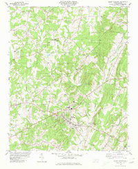
 1957 Mount Pleasant1958 Print · USGSCabarrus and Stanly counties in the late 1950s show a region of historic mining and academic growth. Researchers can trace the legendary Reed Gold Mine (Inactive), the campus of Pfeiffer College, and numerous family crossroads like Watts Crossroads.2 unique versions available
 - 1960 Map of Charlotte
 1960 Charlotte1960 Print · USGSMid-century North Carolina and South Carolina meet in this 1960 survey of the Piedmont's industrial and textile heartland. Trace the growth of Charlotte alongside historic landmarks like Kings Mountain National Military Park and the Charlotte Naval Ammunition Depot.2 unique versions available
 - 1962 Map of Charlotte
 1962 Charlotte1962 Print · USGSThe North Carolina Piedmont in the early sixties showcases a landscape transformed by massive reservoirs and industrial growth. Researchers can trace the development of Lake Norman, locate the Charlotte Naval Ammunition Depot, or find family landmarks like Wesley Chapel and Brown & Norcott Mills.
 - 1980 Map of Mount Pleasant
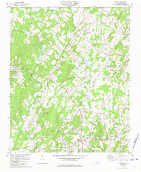
 1980 Mount Pleasant1980 Print · USGSThe Piedmont landscape of Cabarrus County is captured here in the late seventies as the town of Mount Pleasant grew. Local historians can trace old community landmarks like Watts Crossroads, Victory Temple, and the Quarries along Buffalo Creek.
 - 1980 Map of Locust, 1981 Print
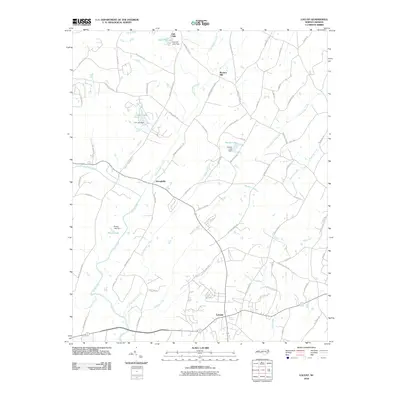
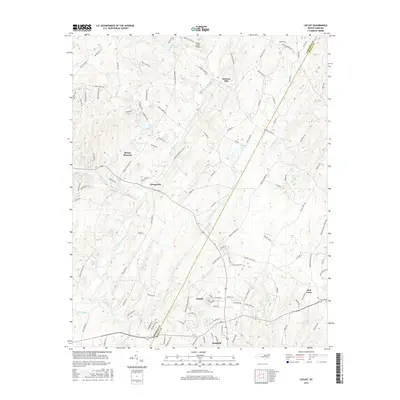
 1980 Locust1981 Print · USGSThe border of Stanly and Cabarrus counties is captured here in the late seventies, centered on the growing communities of Locust and Stanfield. Genealogists and historians can trace numerous rural landmarks, from the Reed Gold Mine to old gathering places like Barriers Mill and Meadow Creek Ch.2 unique versions available
 - 1985 Map of Charlotte, 1986 Print
 1985 Charlotte1986 Print · USGSThe Piedmont region in the mid-eighties shows the rapid growth of the Charlotte metro area alongside established textile and college towns. Trace local heritage at the Reed Gold Mine or explore the rail corridors of the Southern Railway and Winston-Salem Southbound Railway.2 unique versions available
 - 2002 Map of Mount Pleasant, 2003 Print
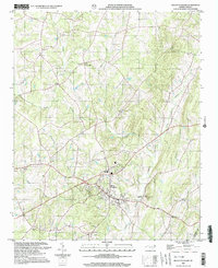 2002 Mount Pleasant2003 Print · USGSMount Pleasant and the surrounding Piedmont countryside are captured here at the dawn of the 21st century. Researchers can trace rural lineages through numerous landmarks like Prosperity Ch, Roger Cem, and the settlement at Watts Crossroads.
 - 2010 Map of Locust, 2010 Print
 2010 Locust2010 Print · USGSCovers Mount Pleasant, including Midland, Stanfield, and other nearby areas
 - 2010 Map of Mount Pleasant, 2010 Print
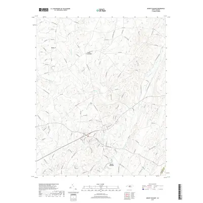
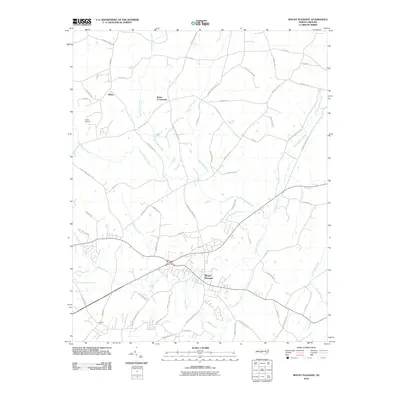 2010 Mount Pleasant2010 Print · USGSCovers Mount Pleasant, including Concord, Rimer, and other nearby areas
 - 2013 Map of Locust, 2013 Print
 2013 Locust2013 Print · USGSCovers Mount Pleasant, including Midland, Stanfield, and other nearby areas
 - 2013 Map of Mount Pleasant, 2013 Print
 2013 Mount Pleasant2013 Print · USGSCovers Mount Pleasant, including Concord, Rimer, and other nearby areas
 - 2016 Map of Locust, 2016 Print
 2016 Locust2016 Print · USGSCovers Mount Pleasant, including Midland, Stanfield, and other nearby areas
 - 2016 Map of Mount Pleasant, 2016 Print
 2016 Mount Pleasant2016 Print · USGSCovers Mount Pleasant, including Concord, Rimer, and other nearby areas
 - 2019 Map of Mount Pleasant, 2019 Print
 2019 Mount Pleasant2019 Print · USGSCovers Mount Pleasant, including Concord, Rimer, and other nearby areas
 - 2019 Map of Locust, 2019 Print
 2019 Locust2019 Print · USGSCovers Mount Pleasant, including Midland, Stanfield, and other nearby areas
 - 2022 Map of Locust, 2022 Print
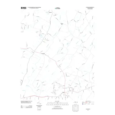
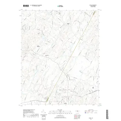
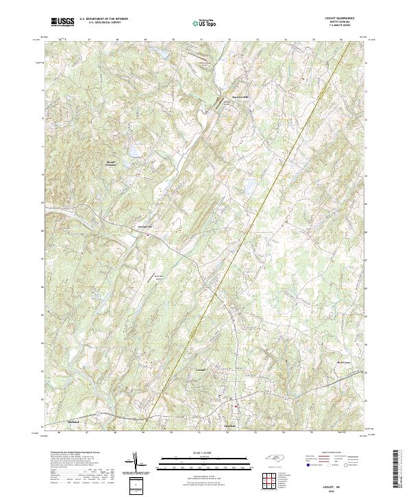 2022 Locust2022 Print · USGSThe Cabarrus and Stanly county border comes alive in this modern survey of the North Carolina Piedmont. Researchers can trace the layout of growing towns like Locust and Stanfield alongside aviation sites such as Reed Mine Airport and Wolf Pit Airport.
 - 2022 Map of Mount Pleasant, 2022 Print
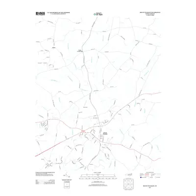
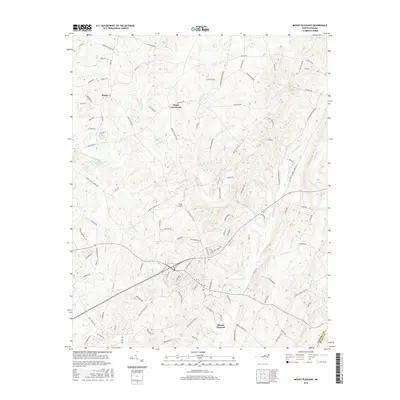
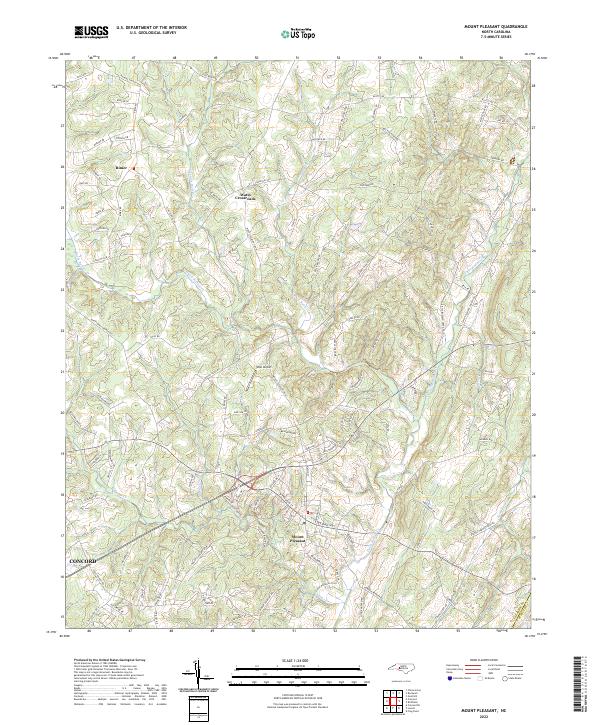 2022 Mount Pleasant2022 Print · USGSMount Pleasant and the surrounding Cabarrus County countryside are shown here in detail during the early 2020s. Researchers can trace family landmarks along Phaniel Church Rd, locate the West Airport, or follow the Buffalo Creek Preserve Trail.
End of results
Showing maps 1-19 of 19
Top cities near Mount Pleasant
- Charlotte historical maps
- Concord historical maps
- Kannapolis historical maps
- Matthews historical maps
- Mint Hill historical maps
- Albemarle historical maps
See more
Frequently asked questions
- What are the different types of historical maps available for Mount Pleasant?
- What is the oldest map of Mount Pleasant?
- Where can I purchase historical maps of Mount Pleasant for my home or office?
- Where can I download high-res historical maps of Mount Pleasant?
- Are there historical topographic maps available for Mount Pleasant?
- Is there historical aerial imagery available for Mount Pleasant?
- Where are historical maps of Mount Pleasant sourced from?