2000s (21st Century) Maps of Bonham Heights, Morehead City
Explore 5 historic maps of Bonham Heights from the 2000s (21st Century). These maps offer a rare glimpse into what life looked like during the 2000s — showing old roads, neighborhoods, homes, and landmarks that have changed or disappeared over time.
Whether you're researching your family's past, planning a metal detecting trip, or studying how Bonham Heights's landscape evolved across the 2000s, these high-resolution maps are a powerful tool for exploring the history of this region.
- Focus on a specific era: All maps on this page are from the 2000s, giving you a focused view of this time period.
- See what’s changed: Compare century-old streets, trails, and buildings to today's modern landscape using overlays and satellite layers.
- Research with precision: Use these maps for genealogy, historical research, land use analysis, or educational projects.
- View, download, or print: Maps are fully viewable online in high resolution, and can be downloaded or printed for your own records.
Start exploring Bonham Heights's history through authentic maps from the 2000s. This is your window into the past.
Bonham Heights, Morehead City maps
(5)- 2011 Map of Mansfield, 2011 Print
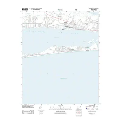 2011 Mansfield2011 Print · USGSCovers Bonham Heights, including Morehead City, Atlantic Beach, and other nearby areas
 - 2013 Map of Mansfield, 2013 Print
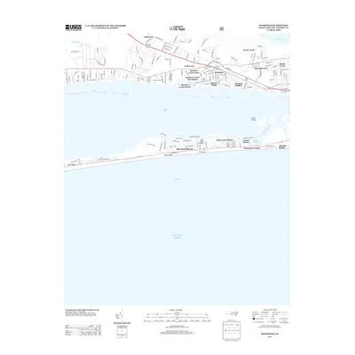 2013 Mansfield2013 Print · USGSCovers Bonham Heights, including Morehead City, Atlantic Beach, and other nearby areas
 - 2016 Map of Mansfield, 2016 Print
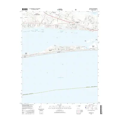 2016 Mansfield2016 Print · USGSCovers Bonham Heights, including Morehead City, Atlantic Beach, and other nearby areas
 - 2019 Map of Mansfield, 2019 Print
 2019 Mansfield2019 Print · USGSCovers Bonham Heights, including Morehead City, Atlantic Beach, and other nearby areas
 - 2022 Map of Mansfield, 2022 Print
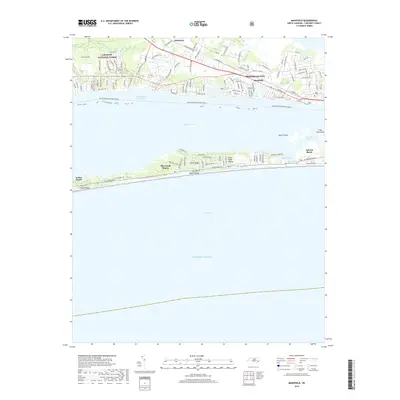
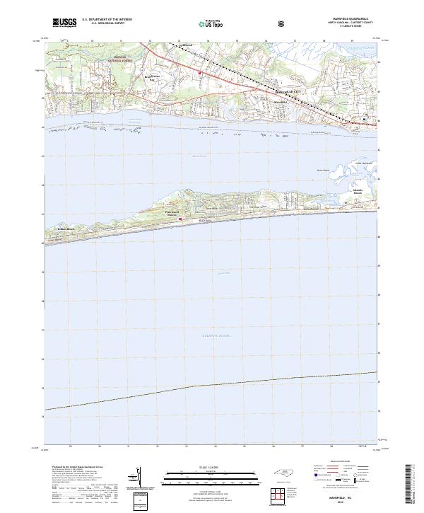 2022 Mansfield2022 Print · USGSThe North Carolina coast at the dawn of the 2020s shows a sophisticated network of shorefront communities and protected maritime forests. Genealogists and historians can trace the growth of Morehead City and Mansfield or locate family roots in Brandywine Bay and Wildwood.
End of results
Showing maps 1-5 of 5
Top cities near Bonham Heights
- Havelock historical maps
- Morehead City historical maps
- Newport historical maps
- Emerald Isle historical maps
- Atlantic Beach historical maps
- Pine Knoll Shores historical maps
See more
Frequently asked questions
- What are the different types of historical maps available for Bonham Heights?
- What is the oldest map of Bonham Heights?
- Where can I purchase historical maps of Bonham Heights for my home or office?
- Where can I download high-res historical maps of Bonham Heights?
- Are there historical topographic maps available for Bonham Heights?
- Is there historical aerial imagery available for Bonham Heights?
- Where are historical maps of Bonham Heights sourced from?