2000s (21st Century) Maps of Fitch, North Carolina
Explore 6 historic maps of Fitch from the 2000s (21st Century). These maps offer a rare glimpse into what life looked like during the 2000s — showing old roads, neighborhoods, homes, and landmarks that have changed or disappeared over time.
Whether you're researching your family's past, planning a metal detecting trip, or studying how Fitch's landscape evolved across the 2000s, these high-resolution maps are a powerful tool for exploring the history of this region.
- Focus on a specific era: All maps on this page are from the 2000s, giving you a focused view of this time period.
- See what’s changed: Compare century-old streets, trails, and buildings to today's modern landscape using overlays and satellite layers.
- Research with precision: Use these maps for genealogy, historical research, land use analysis, or educational projects.
- View, download, or print: Maps are fully viewable online in high resolution, and can be downloaded or printed for your own records.
Start exploring Fitch's history through authentic maps from the 2000s. This is your window into the past.
Fitch, NC maps
(6)- 2002 Map of Anderson
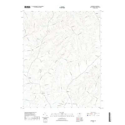
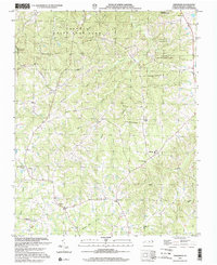 2002 Anderson2002 Print · USGSCaswell County remains a quiet landscape of rural crossroads and wooded game lands at the start of the millennium. Researchers can trace family ties through a dense network of country churches like Bush Arbor Ch and old school sites like Sweet Gum Sch.
 - 2010 Map of Anderson, 2010 Print
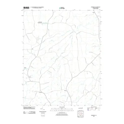 2010 Anderson2010 Print · USGSCovers Fitch, including Topnot, Jericho, and other nearby areas
 - 2013 Map of Anderson, 2013 Print
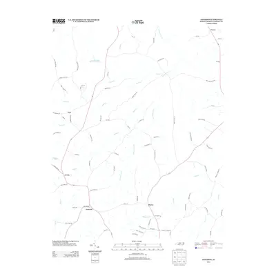 2013 Anderson2013 Print · USGSCovers Fitch, including Topnot, Jericho, and other nearby areas
 - 2016 Map of Anderson, 2016 Print
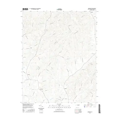 2016 Anderson2016 Print · USGSCovers Fitch, including Topnot, Jericho, and other nearby areas
 - 2019 Map of Anderson, 2019 Print
 2019 Anderson2019 Print · USGSCovers Fitch, including Topnot, Jericho, and other nearby areas
 - 2022 Map of Anderson, 2022 Print
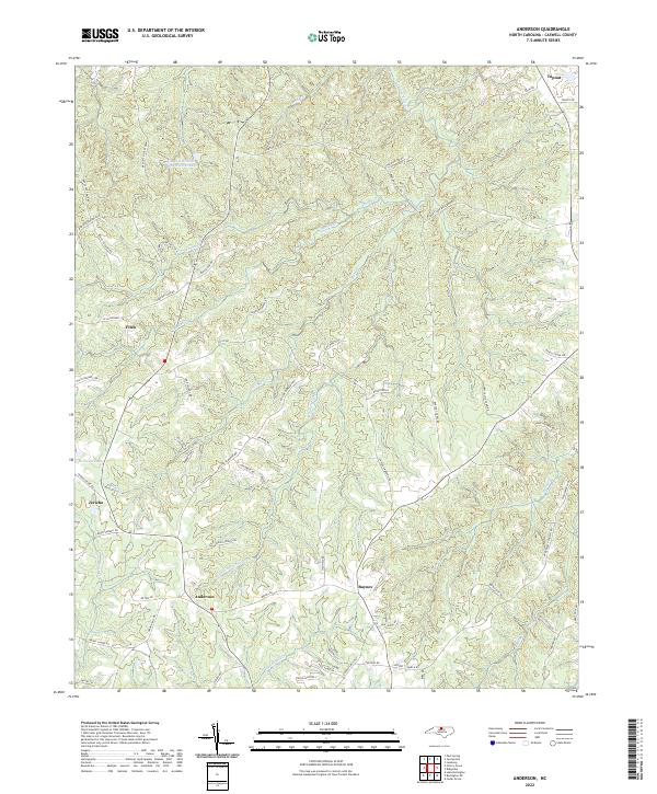 2022 Anderson2022 Print · USGSThis portion of Caswell County in the early 2020s shows a landscape of rural crossroads and wildlife management lands. Genealogists can trace family footprints near Anderson and Baynes or along Marshall Graves Rd and Alvis Boswell Rd.
End of results
Showing maps 1-6 of 6
Top cities near Fitch
- Burlington historical maps
- Mebane historical maps
- Gibsonville historical maps
- Elon historical maps
- Yanceyville historical maps
- Green Level historical maps
See more
Frequently asked questions
- What are the different types of historical maps available for Fitch?
- What is the oldest map of Fitch?
- Where can I purchase historical maps of Fitch for my home or office?
- Where can I download high-res historical maps of Fitch?
- Are there historical topographic maps available for Fitch?
- Is there historical aerial imagery available for Fitch?
- Where are historical maps of Fitch sourced from?