Old Maps of Topton, North Carolina
Explore 14 old maps of Topton, spanning from 1935 to today. These high-resolution historic maps reveal how streets, neighborhoods, landmarks, and natural features evolved over time — perfect for genealogy, metal detecting, research, and local history exploration.
What you can do with these maps:
- See how Topton changed over time: Compare historical maps to modern-day views to trace roads, homesites, rail lines & more.
- View detailed metadata: Each map includes creators, publishers, year, scale, and archive source.
- Overlay maps with satellite & LiDAR: Visualize the past alongside modern tools to explore terrain & human change.
- Trusted historical sources: Maps sourced from the USGS, Library of Congress, and other archives.
- Access maps your way: View online, download high-res files, or order prints for personal or research use.
Start exploring old maps of Topton to uncover forgotten places, hidden landmarks, and the deep history beneath your feet.
Topton, NC maps
(14)- 1935 Map of Topton
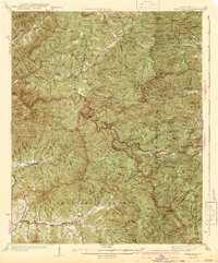
 1935 Topton1935 Print · USGSWestern North Carolina’s mountain timber and rail landscape is captured here in the mid-thirties as federal relief work takes root. Trace the winding Ritter Lumber RR alongside CCC Camp No F 13 and the remote settlement of Aquone.
 - 1935 Map of Wayah Bald
 1935 Wayah Bald1935 Print · USGSHigh in the Blue Ridge Mountains during the mid-1930s, this survey reveals the isolated homesteads and forest tracts of Macon County. Genealogists can locate family landmarks like Marshall Chapel, Oakdale Sch, and the remote Kyle PO or Flats PO.
 - 1942 Map of Wayah Bald
 1942 Wayah Bald1942 Print · USGSThe high peaks of the Nantahala Mountains come to life in this mid-century survey of Macon and Clay Counties. Researchers can trace the heritage of remote settlements like Rainbow Springs and locate local landmarks such as Marshall Chapel or Oakdale Sch.2 unique versions available
 - 1955 Map of Knoxville
 1955 Knoxville1955 Print · USGSThe Southern Appalachians and the Smoky Mountains are shown here at a peak of mid-century development and conservation. Genealogists and historians can trace the early road networks connecting Gatlinburg, Waynesville, and the Cherokee Indian Reservation across the high ridges.
 - 1957 Map of Topton, 1959 Print
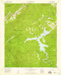 1957 Topton1959 Print · USGSThe high mountain country of Macon and Cherokee counties is shown here during the peak of mid-century hydroelectric development. Genealogists and hikers can trace the Southern railroad through Topton or locate the remote Nantahala No 2 Ch near the reservoir.3 unique versions available
 - 1957 Map of Knoxville, 1966 Print
 1957 Knoxville1966 Print · USGSThe Southern Appalachians of Tennessee and North Carolina are mapped here during the mid-twentieth century as new highways reached the high country. Genealogists and historians can trace the topography between Knoxville and Asheville, locating family landmarks near Fontana Lake or along the Blue Ridge Parkway.4 unique versions available
 - 1960 Map of Knoxville
 1960 Knoxville1960 Print · USGSThe Southern Appalachians come alive in the 1950s, showing the intersection of new national park tourism and deep-rooted mountain industry. Trace old rail lines like the Clinchfield RR and find high-altitude landmarks from Mt Le Conte to the Cherokee Indian Reservation.2 unique versions available
 - 1964 Map of Knoxville
 1964 Knoxville1964 Print · USGSThe Southern Appalachians and Great Smokies are captured here during the mid-sixties, showing the rugged borderlands of Tennessee and North Carolina. Researchers can trace historic mountain routes like U S 441, the expanse of Pisgah National Forest, and the growing footprints of Asheville and Knoxville.
 - 1983 Map of Fontana Lake
 1983 Fontana Lake1983 Print · USGSWestern North Carolina's high peaks and reservoir-carved valleys are documented here during the early eighties. Genealogists and local historians can trace the mountain communities of Bryson City and Franklin or explore the boundaries of the Qualla Boundary.2 unique versions available
 - 2011 Map of Topton, 2011 Print
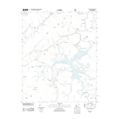 2011 Topton2011 Print · USGSCovers Topton, including Aquone, Macon County, and other nearby areas
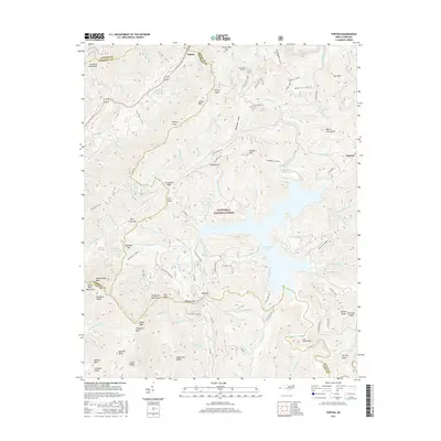
 - 2013 Map of Topton, 2013 Print
 2013 Topton2013 Print · USGSCovers Topton, including Aquone, Macon County, and other nearby areas
 - 2016 Map of Topton, 2016 Print
 2016 Topton2016 Print · USGSCovers Topton, including Aquone, Macon County, and other nearby areas
 - 2019 Map of Topton, 2019 Print
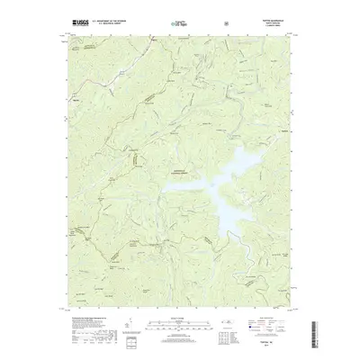 2019 Topton2019 Print · USGSCovers Topton, including Aquone, Macon County, and other nearby areas
 - 2022 Map of Topton, 2022 Print
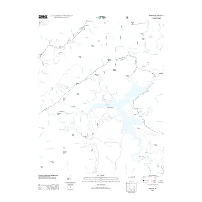
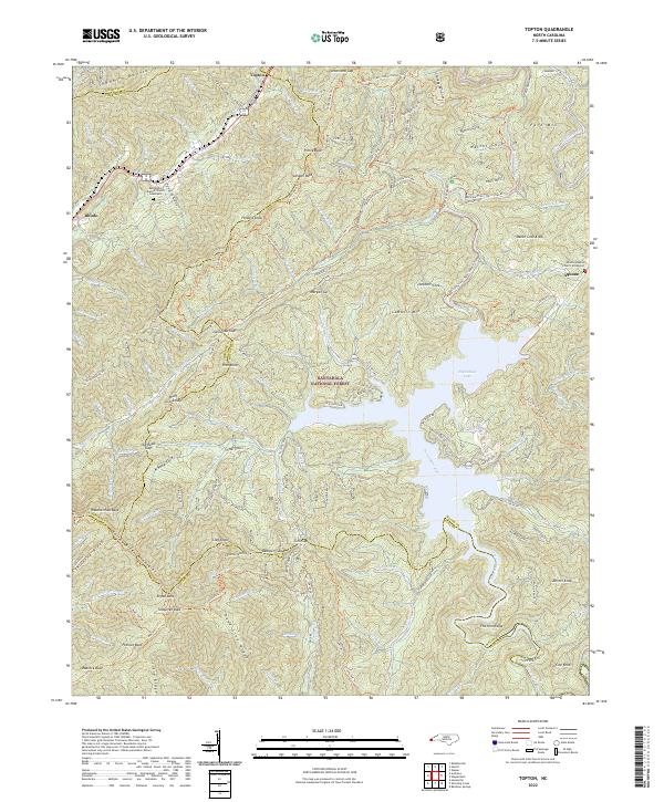 2022 Topton2022 Print · USGSThe high mountain gaps and river valleys of western North Carolina appear here in contemporary detail. Researchers can trace historic cemeteries and small settlements like Aquone and Topton, or follow the winding Bartram Trail - Nantahala Trl through the peaks.
End of results
Showing maps 1-14 of 14
Top cities near Topton
- Andrews historical maps
- Robbinsville historical maps
- Hayesville historical maps
- Lake Santeetlah historical maps
- Fontana Dam historical maps
Frequently asked questions
- What are the different types of historical maps available for Topton?
- What is the oldest map of Topton?
- Where can I purchase historical maps of Topton for my home or office?
- Where can I download high-res historical maps of Topton?
- Are there historical topographic maps available for Topton?
- Is there historical aerial imagery available for Topton?
- Where are historical maps of Topton sourced from?