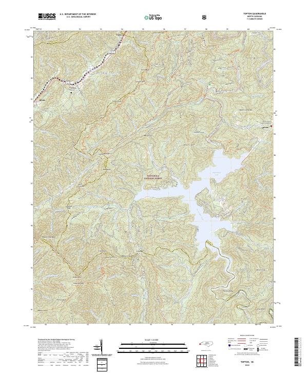
2022 Map of Topton
USGS Topo · Published 2022About this map
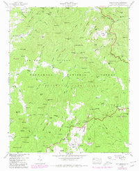
Nantahala Lake and its intricate shoreline dominate the central landscape where the Nantahala River is impounded amidst a high-elevation complex of the Blue Ridge. The terrain is defined by the intersection of the Snowbird Mountains, the Valley River Mountains, and the Tusquitee Mountains, creating a rugged vertical relief that has historically funneled travel into gaps such as Junaluska Gap and Wolf Creek Gap.
Find a feature on this map
137 named features on this map. Tap any name to fly to it.
Don’t see what you’re looking for? This feature index may not catch every label — zoom into the map to look around manually.
Map Details
Editions of this 2022 Topton Map
This is the sole edition of this map. No revisions or reprints were ever made.
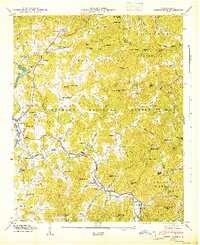
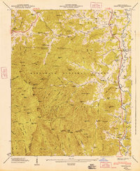
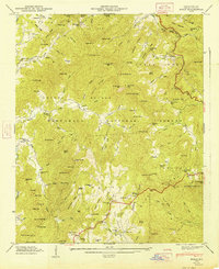
Historical Maps of Topton Through Time
24 maps found

1935 Burningtown Bald
Macon County, NC

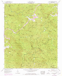
1935 Corbin Knob
Macon County, NC

1935 Prentiss
Macon County, NC

1935 Rainbow Springs
Macon County, NC

1935 Scaly
Macon County, NC

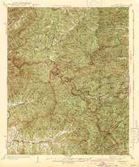
1935 Topton
Macon County, NC

1935 Wayah Bald
Macon County, NC
1942 Wayah Bald
Macon County, NC
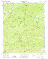
1946 Corbin Knob
Macon County, NC
1946 Prentiss
Macon County, NC
1946 Scaly Mountain
Macon County, NC
1947 Corbin Knob
Macon County, NC
1947 Prentiss
Macon County, NC
1947 Scaly
Macon County, NC
1957 Rainbow Springs
Macon County, NC
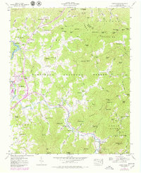
1957 Topton
Macon County, NC
1957 Wayah Bald
Macon County, NC

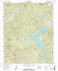
1983 Fontana Lake
Macon County, NC
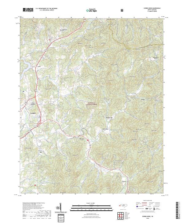
2022 Corbin Knob
Macon County, NC
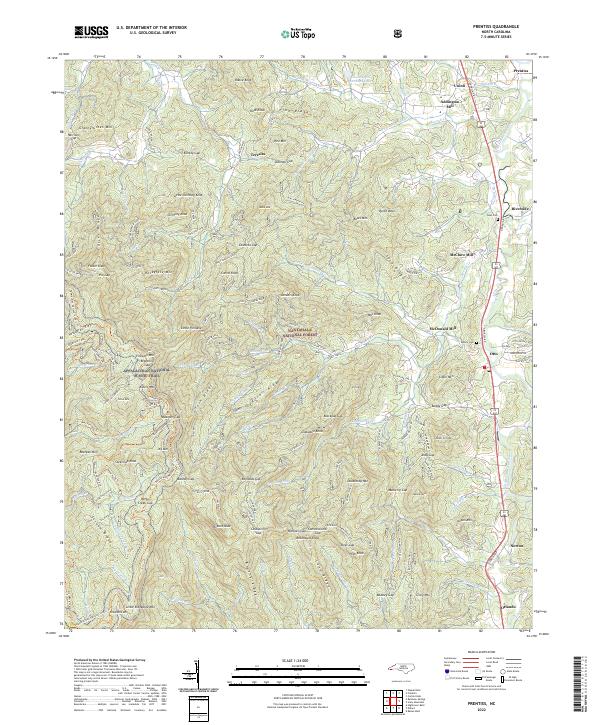
2022 Prentiss
Macon County, NC
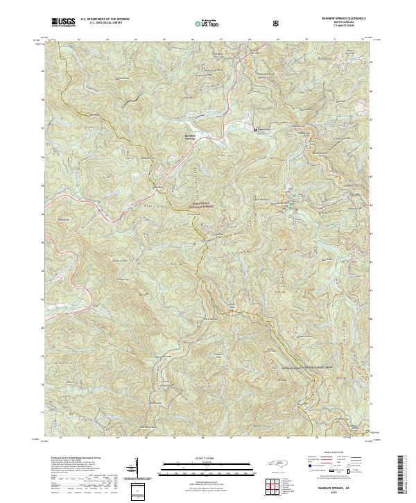
2022 Rainbow Springs
Macon County, NC
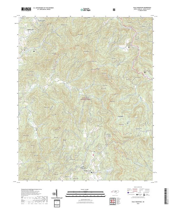
2022 Scaly Mountain
Macon County, NC
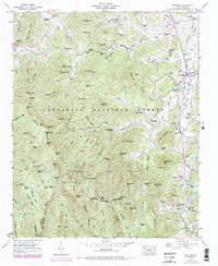
2022 Topton
Macon County, NC
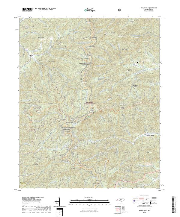
2022 Wayah Bald
Macon County, NC