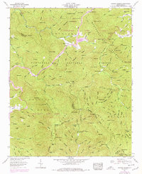
1957 Map of Rainbow Springs
USGS Topo · Published 1978About this map
The Nantahala River carves through the mountains of Macon and Clay counties, creating a landscape defined by steep ridges and deep gaps. This 1957 survey, with updates from 1978, illustrates a transition in land use within the Nantahala National Forest and Nantahala Game Lands. The settlement of Rainbow Springs sits at the heart of this river valley, while small, scattered outposts like Ledford and Barrett indicate the persistence of isolated mountain homesteads.
Find a feature on this map
132 named features on this map. Tap any name to fly to it.
Don’t see what you’re looking for? This feature index may not catch every label — zoom into the map to look around manually.
Map Details
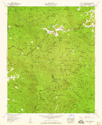
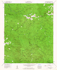
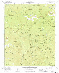
Editions of this 1957 Rainbow Springs Map
4 editions found
Other maps of this area

1886 · Dahlonega
USGS Topo · 1:125,000

1886 · Walhalla
USGS Topo · 1:125,000

1891 · Cowee
USGS Topo · 1:125,000

1892 · Dahlonega
USGS Topo · 1:125,000

1892 · Walhalla
USGS Topo · 1:125,000

1896 · Walhalla
USGS Topo · 1:125,000

1896 · Dahlonega
USGS Topo · 1:125,000

1897 · Cowee
USGS Topo · 1:125,000

1903 · Dahlonega
USGS Topo · 1:125,000

1907 · Cowee
USGS Topo · 1:125,000