
1907 Map of Cowee
USGS Topo · Published 1907About this map
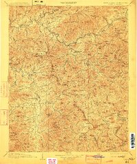
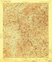
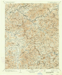
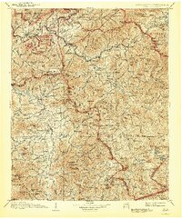
The Southern Railway winds through the central corridor of this Western North Carolina survey, connecting the industrial and civic hubs of Sylva, Dillsboro, and Webster. Surveyed between 1885 and 1905, the map captures the transition of the region's river valleys and high gaps before the expansion of modern infrastructure. To the west, Bryson and the settlement of Whittier sit along the lower reaches of the Oconalufty River, while the Cherokee territory and Quallatown Creek occupy the north. Local industry is visible in smaller rural pockets through features like West Mill and Roanes Mill. The terrain is defined by the massive Balsams range and the Plott Balsam peaks, where numerous family-named landmarks such as Jones Knob and Pinerock mark the high ridges. This record detail includes many vanished place names and early road networks across the Jackson and Macon County border.
Find a feature on this map
252 named features on this map. Tap any name to fly to it.
Don’t see what you’re looking for? This feature index may not catch every label — zoom into the map to look around manually.
Map Details
Editions of this 1907 Cowee Map
5 editions found
Other maps of this area

1886 · Knoxville
USGS Topo · 1:125,000

1886 · Dahlonega
USGS Topo · 1:125,000

1886 · Walhalla
USGS Topo · 1:125,000

1888 · Pickens
USGS Topo · 1:125,000

1891 · Cowee
USGS Topo · 1:125,000

1892 · Dahlonega
USGS Topo · 1:125,000

1892 · Walhalla
USGS Topo · 1:125,000

1892 · Knoxville
USGS Topo · 1:125,000

1893 · Mt Guyot
USGS Topo · 1:125,000

1894 · Asheville
USGS Topo · 1:125,000