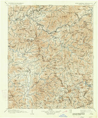
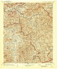
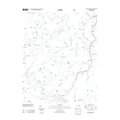
1907 Map of Cowee
USGS Topo · Published 1913About this map
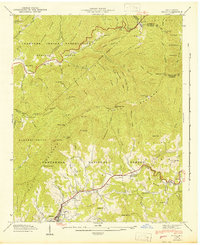
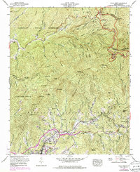
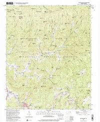
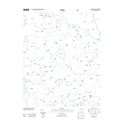
Bryson and Franklin serve as the primary commercial hubs for this mountainous section of western North Carolina at the turn of the century. The Southern Railway follows the course of the Tuckasegee River through Dillsboro, Sylva, and Willets, connecting the river valley's timber and trade to the outside world. This period captures the region's early industrial and agrarian balance, where small operations like Roanes Mill and the Teresita Shop stand alongside established riverside communities such as Webster and Cullowhee.
Find a feature on this map
215 named features on this map. Tap any name to fly to it.
Don’t see what you’re looking for? This feature index may not catch every label — zoom into the map to look around manually.
Map Details
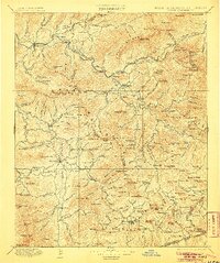
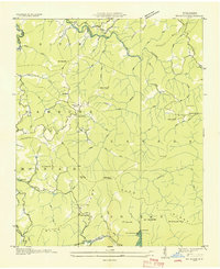
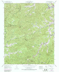
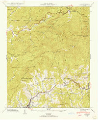
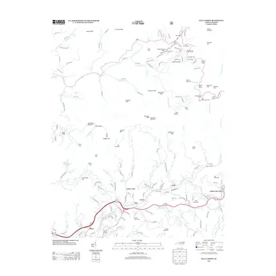
Editions of this 1907 Cowee Map
5 editions found

Historical Maps of Waynesville Through Time
44 maps found

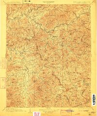
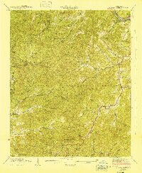
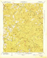
1891 Cowee
Jackson County, NC
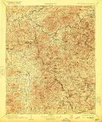
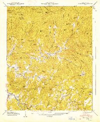
1897 Cowee
Jackson County, NC
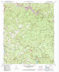
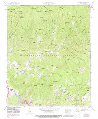
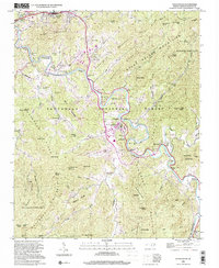
1907 Cowee
Jackson County, NC

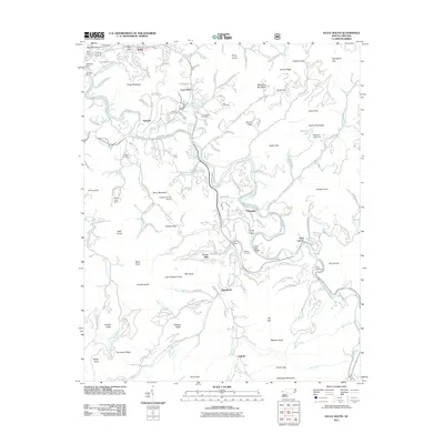
1935 Addie
Jackson County, NC
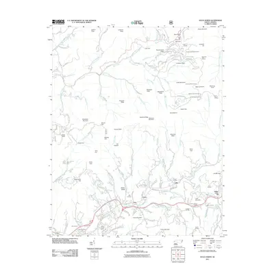
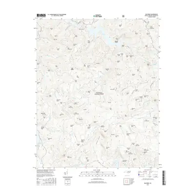
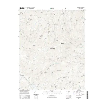
1935 Big Ridge
Jackson County, NC

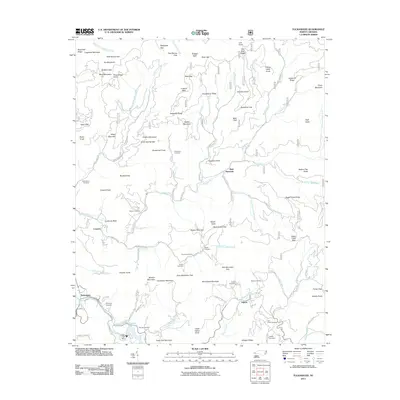
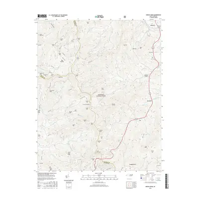
1935 Tuckaseigee
Jackson County, NC

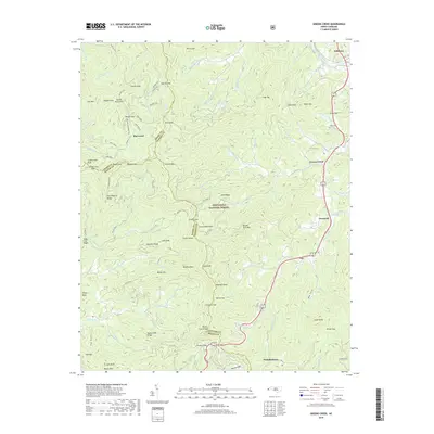
1936 Greens Creek
Jackson County, NC
1940 Greens Creek
Jackson County, NC
1941 Addie
Jackson County, NC
1941 Greens Creek
Jackson County, NC
1942 Addie
Jackson County, NC
1946 Big Ridge
Jackson County, NC
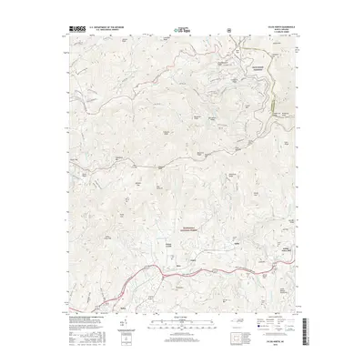
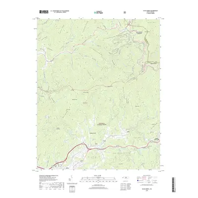
1946 Sylva South
Jackson County, NC
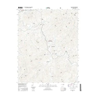
1946 Tuckasegee
Jackson County, NC
1947 Big Ridge
Jackson County, NC
1947 Tuckasegee
Jackson County, NC
1967 Sylva North
Jackson County, NC
1997 Tuckasegee
Jackson County, NC
2000 Sylva South
Jackson County, NC
2011 Big Ridge
Jackson County, NC
2011 Greens Creek
Jackson County, NC
2011 Sylva North
Jackson County, NC
2011 Sylva South
Jackson County, NC
2011 Tuckasegee
Jackson County, NC
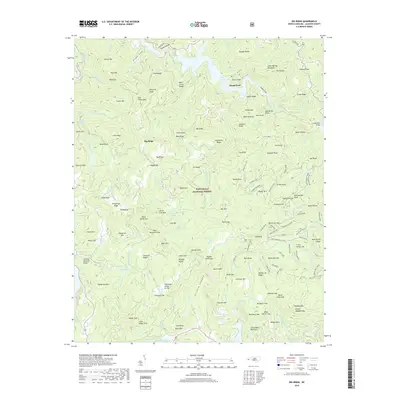
2013 Big Ridge
Jackson County, NC
2013 Greens Creek
Jackson County, NC
2013 Sylva North
Jackson County, NC
2013 Sylva South
Jackson County, NC
2013 Tuckasegee
Jackson County, NC
2016 Big Ridge
Jackson County, NC
2016 Greens Creek
Jackson County, NC
2016 Sylva North
Jackson County, NC
2016 Sylva South
Jackson County, NC
2016 Tuckasegee
Jackson County, NC
2019 Big Ridge
Jackson County, NC
2019 Greens Creek
Jackson County, NC
2019 Sylva North
Jackson County, NC
2019 Sylva South
Jackson County, NC
2019 Tuckasegee
Jackson County, NC
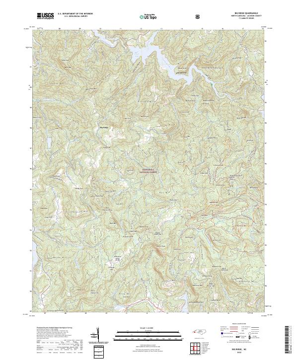
2022 Big Ridge
Jackson County, NC
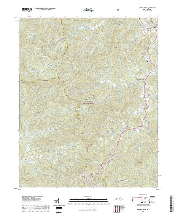
2022 Greens Creek
Jackson County, NC
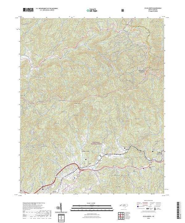
2022 Sylva North
Jackson County, NC
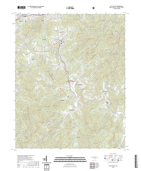
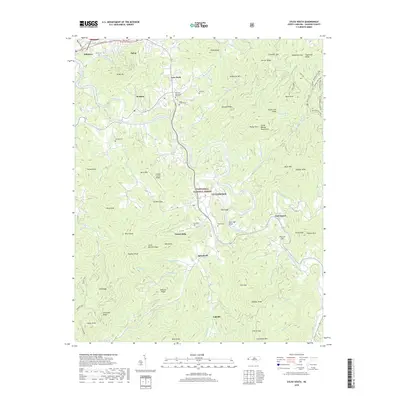
2022 Sylva South
Jackson County, NC
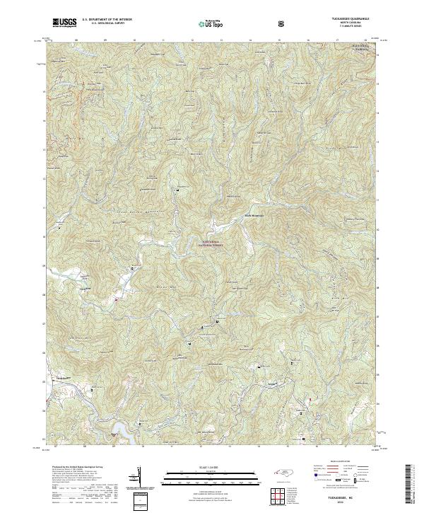
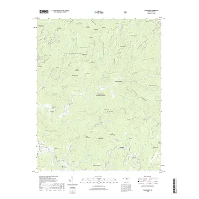
2022 Tuckasegee
Jackson County, NC