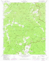
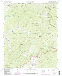
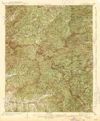
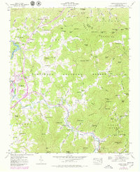
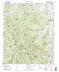
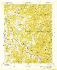
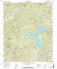
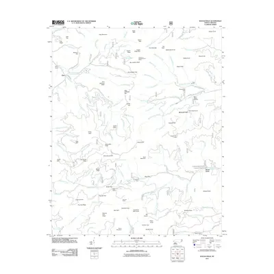
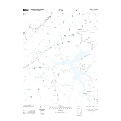
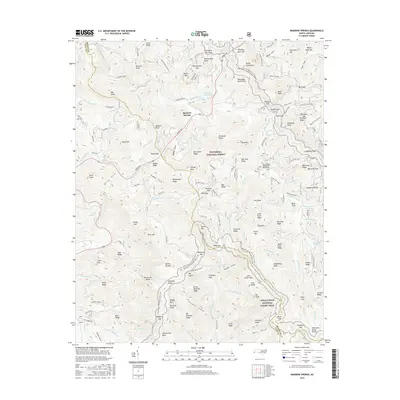
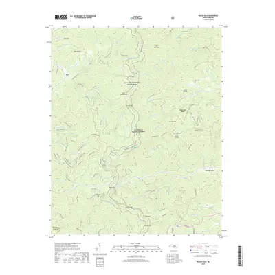
1946 Map of Scaly Mountain
USGS Topo · Published 1980About this map
Nantahala National Forest dominates this landscape in southern Macon County, where the Tennessee Valley Authority and USGS documented a terrain defined by ridges and family-named knobs. The settlement pattern follows the drainages of the Cullasaja River and Tessentee Creek, with small communities like Fulchertown and Tumblerville nestled in the hollows. Genealogists will find significant value in the documentation of several family burial grounds, including Stiles Cem, Mt Moriah Cem, and Miller Cem.
Find a feature on this map
126 named features on this map. Tap any name to fly to it.
Don’t see what you’re looking for? This feature index may not catch every label — zoom into the map to look around manually.
Map Details
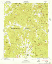
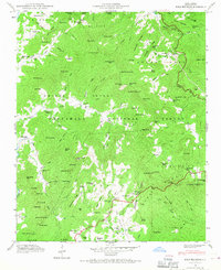
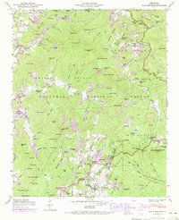
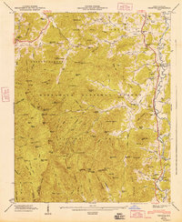
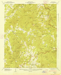
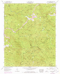
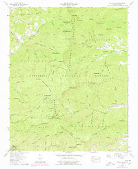
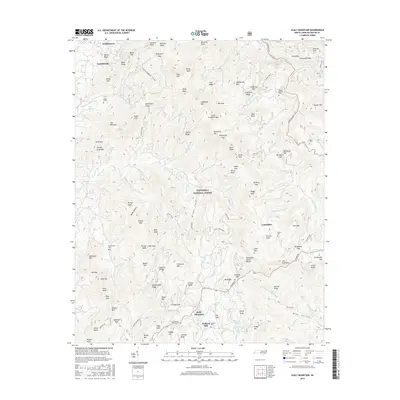
Editions of this 1946 Scaly Mountain Map
5 editions found
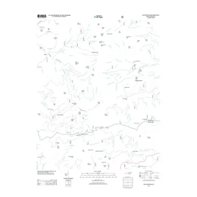
Historical Maps of Lickskillet Through Time
48 maps found

1935 Burningtown Bald
Macon County, NC

1935 Corbin Knob
Macon County, NC

1935 Prentiss
Macon County, NC

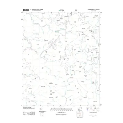
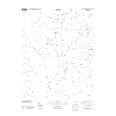
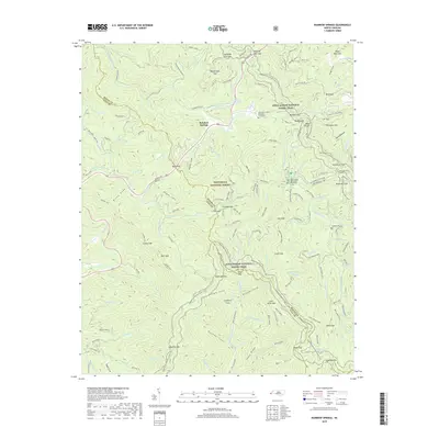
1935 Rainbow Springs
Macon County, NC

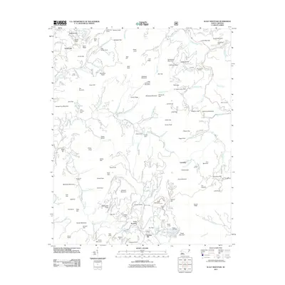
1935 Scaly
Macon County, NC

1935 Topton
Macon County, NC

1935 Wayah Bald
Macon County, NC
1942 Wayah Bald
Macon County, NC
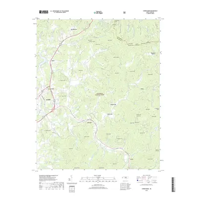
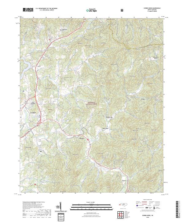
1946 Corbin Knob
Macon County, NC
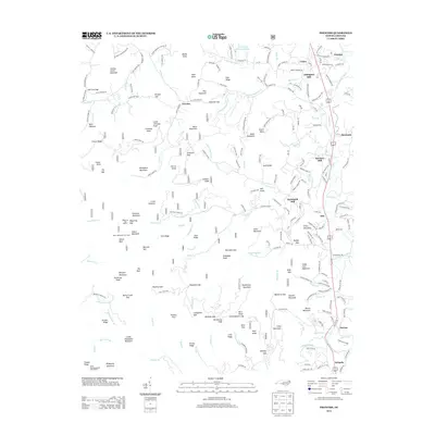
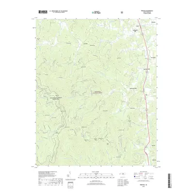
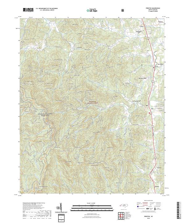
1946 Prentiss
Macon County, NC
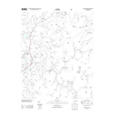
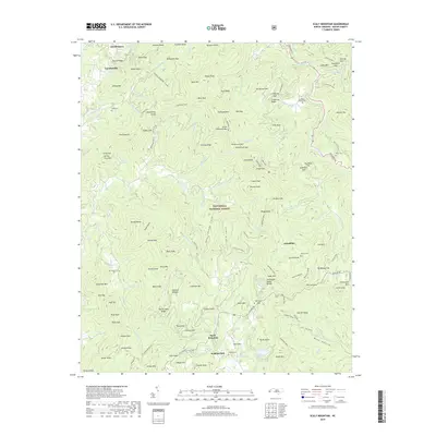
1946 Scaly Mountain
Macon County, NC
1947 Corbin Knob
Macon County, NC
1947 Prentiss
Macon County, NC
1947 Scaly
Macon County, NC
1957 Rainbow Springs
Macon County, NC
1957 Topton
Macon County, NC
1957 Wayah Bald
Macon County, NC

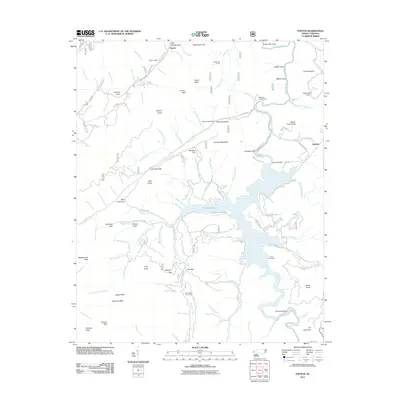
1983 Fontana Lake
Macon County, NC
2011 Corbin Knob
Macon County, NC
2011 Prentiss
Macon County, NC
2011 Rainbow Springs
Macon County, NC
2011 Scaly Mountain
Macon County, NC
2011 Topton
Macon County, NC
2011 Wayah Bald
Macon County, NC
2013 Corbin Knob
Macon County, NC
2013 Prentiss
Macon County, NC
2013 Rainbow Springs
Macon County, NC
2013 Scaly Mountain
Macon County, NC
2013 Topton
Macon County, NC
2013 Wayah Bald
Macon County, NC
2016 Corbin Knob
Macon County, NC
2016 Prentiss
Macon County, NC
2016 Rainbow Springs
Macon County, NC
2016 Scaly Mountain
Macon County, NC
2016 Topton
Macon County, NC
2016 Wayah Bald
Macon County, NC
2019 Corbin Knob
Macon County, NC
2019 Prentiss
Macon County, NC
2019 Rainbow Springs
Macon County, NC
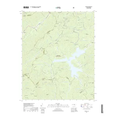
2019 Scaly Mountain
Macon County, NC
2019 Topton
Macon County, NC
2019 Wayah Bald
Macon County, NC
2022 Corbin Knob
Macon County, NC
2022 Prentiss
Macon County, NC
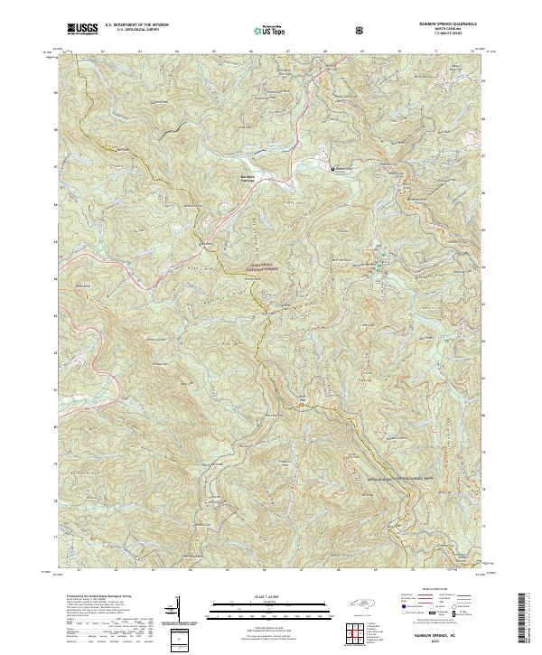
2022 Rainbow Springs
Macon County, NC
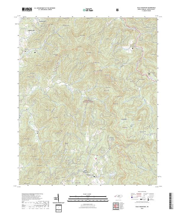
2022 Scaly Mountain
Macon County, NC
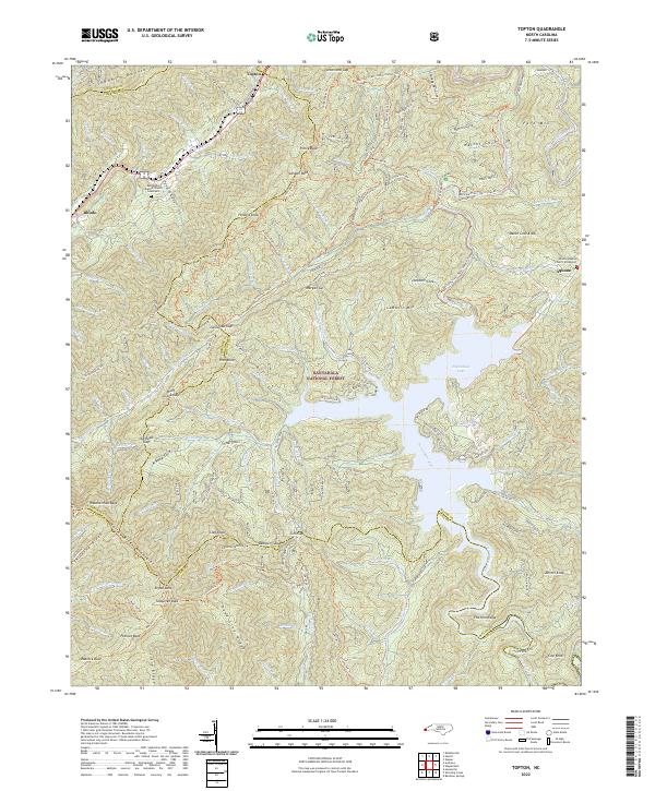
2022 Topton
Macon County, NC
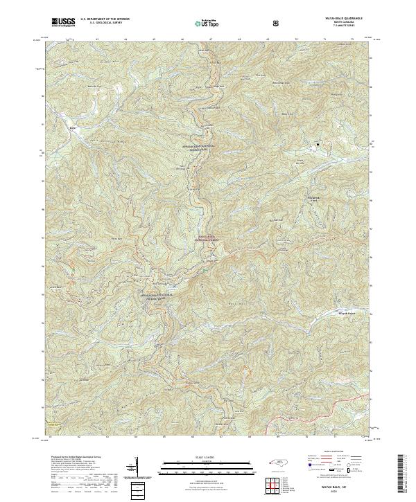
2022 Wayah Bald
Macon County, NC