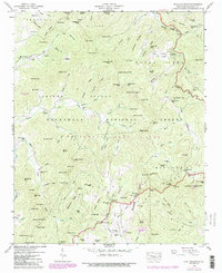
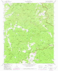
1946 Map of Scaly Mountain
USGS Topo · Published 1980About this map
Watkins Mill and Middle Creek Mill sit along the narrow watercourses of this 1946 Tennessee Valley Authority survey of Macon County. The landscape is defined by the steep transitions between ridges and gaps, where small family-named settlements like Fulchertown and Tumblerville once clung to the hillsides. A local mineral economy is evidenced by the Gold Mine near Gold Mine Branch, while the social fabric of these mountain communities is anchored by small houses of worship including Drymans Chapel and Tessentee Ch.
Find a feature on this map
157 named features on this map. Tap any name to fly to it.
Don’t see what you’re looking for? This feature index may not catch every label — zoom into the map to look around manually.
Map Details
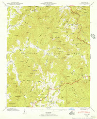
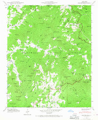
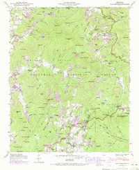
Editions of this 1946 Scaly Mountain Map
5 editions found
Other maps of this area

1886 · Walhalla
USGS Topo · 1:125,000

1891 · Cowee
USGS Topo · 1:125,000

1892 · Walhalla
USGS Topo · 1:125,000

1896 · Walhalla
USGS Topo · 1:125,000

1897 · Cowee
USGS Topo · 1:125,000

1907 · Cowee
USGS Topo · 1:125,000

1935 · Franklin
USGS Topo · 1:24,000

1935 · Prentiss
USGS Topo · 1:24,000

1935 · Dillard
USGS Topo · 1:24,000

1935 · Scaly
USGS Topo · 1:24,000