
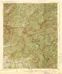
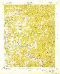
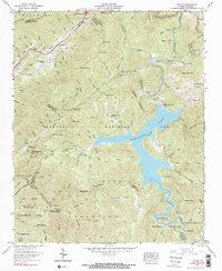
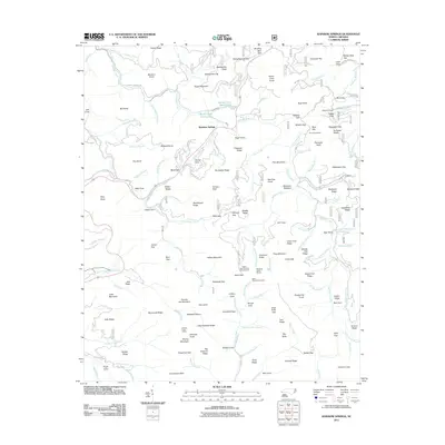
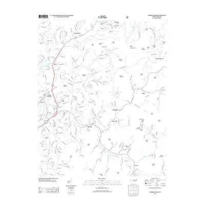
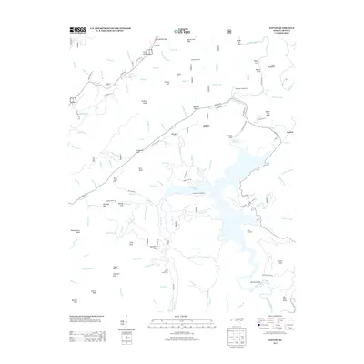
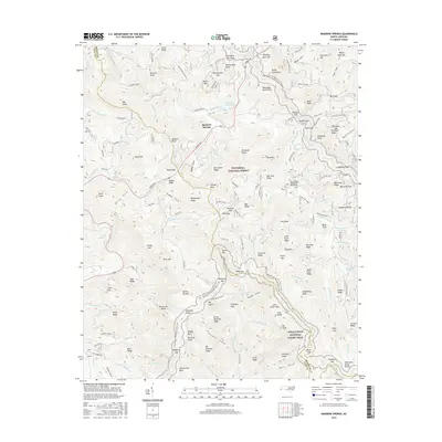
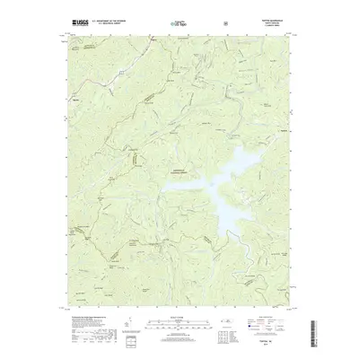
1935 Map of Prentiss
USGS Topo · Published 1935About this map
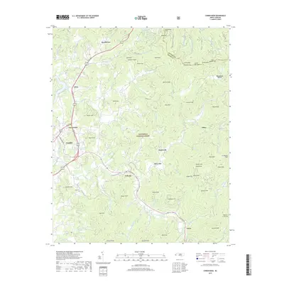
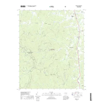
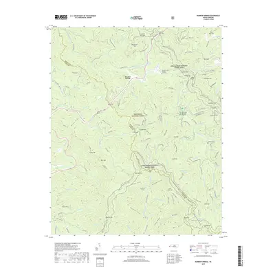
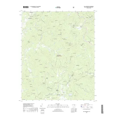
The Nantahala National Forest dominates this mid-1930s landscape, where the Tallulah Falls Railroad follows the Little Tennessee River corridor through the valley. This era marks the early operations of the Coweeta Experiment Station and the presence of CCC Camp No F 23, reflecting federal investment in forestry and land management during the Great Depression. The map reveals a dense network of small rural institutions serving the mountain communities, including Academy Sch, Allison Watts Sch, and Patterson Ch. High-elevation landmarks such as Pickens Nose, Albert Mtn, and Yellow Mtn punctuate the ridges, while the valley floor is concentrated with settlements like Otto and Riverside along the rail line and State Highway No 23.
Find a feature on this map
107 named features on this map. Tap any name to fly to it.
Don’t see what you’re looking for? This feature index may not catch every label — zoom into the map to look around manually.
Map Details
Editions of this 1935 Prentiss Map
This is the sole edition of this map. No revisions or reprints were ever made.
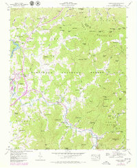
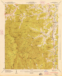
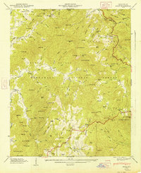
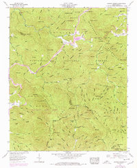
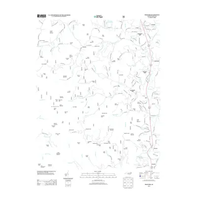
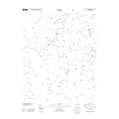
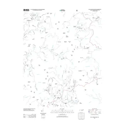
Historical Maps of McDonald Mill Through Time
48 maps found

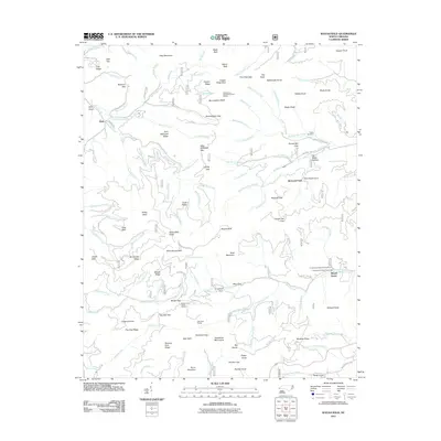
1935 Burningtown Bald
Macon County, NC

1935 Corbin Knob
Macon County, NC
1935 Prentiss
Macon County, NC

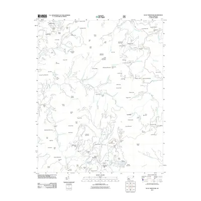
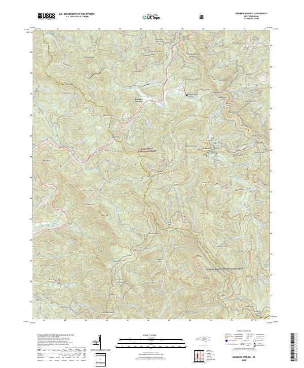
1935 Rainbow Springs
Macon County, NC

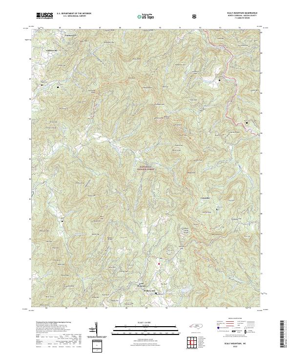
1935 Scaly
Macon County, NC

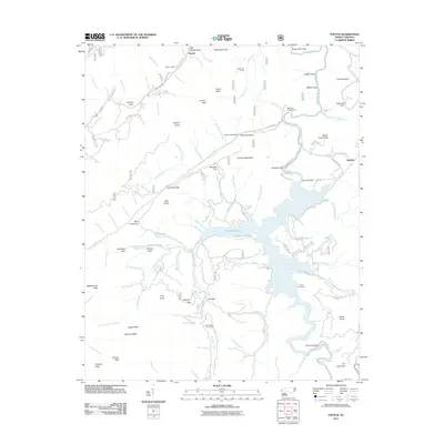
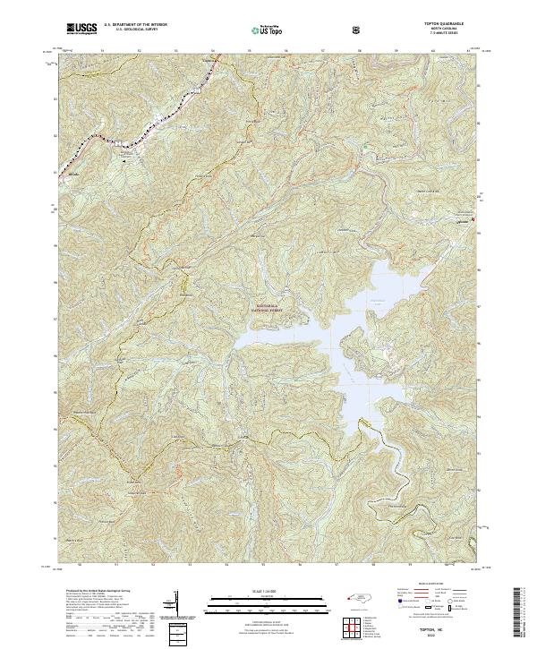
1935 Topton
Macon County, NC

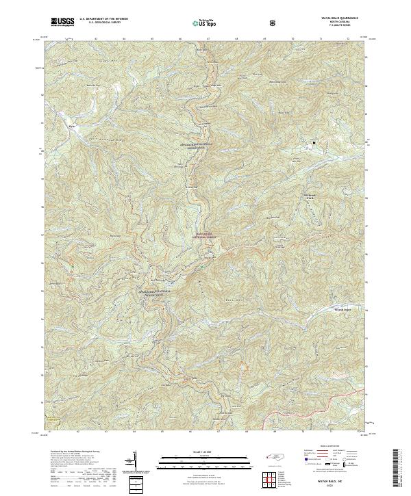
1935 Wayah Bald
Macon County, NC
1942 Wayah Bald
Macon County, NC
1946 Corbin Knob
Macon County, NC
1946 Prentiss
Macon County, NC
1946 Scaly Mountain
Macon County, NC
1947 Corbin Knob
Macon County, NC
1947 Prentiss
Macon County, NC
1947 Scaly
Macon County, NC
1957 Rainbow Springs
Macon County, NC
1957 Topton
Macon County, NC
1957 Wayah Bald
Macon County, NC

1983 Fontana Lake
Macon County, NC
2011 Corbin Knob
Macon County, NC
2011 Prentiss
Macon County, NC
2011 Rainbow Springs
Macon County, NC
2011 Scaly Mountain
Macon County, NC
2011 Topton
Macon County, NC
2011 Wayah Bald
Macon County, NC
2013 Corbin Knob
Macon County, NC
2013 Prentiss
Macon County, NC
2013 Rainbow Springs
Macon County, NC
2013 Scaly Mountain
Macon County, NC
2013 Topton
Macon County, NC
2013 Wayah Bald
Macon County, NC
2016 Corbin Knob
Macon County, NC
2016 Prentiss
Macon County, NC
2016 Rainbow Springs
Macon County, NC
2016 Scaly Mountain
Macon County, NC
2016 Topton
Macon County, NC
2016 Wayah Bald
Macon County, NC
2019 Corbin Knob
Macon County, NC
2019 Prentiss
Macon County, NC
2019 Rainbow Springs
Macon County, NC
2019 Scaly Mountain
Macon County, NC
2019 Topton
Macon County, NC
2019 Wayah Bald
Macon County, NC
2022 Corbin Knob
Macon County, NC
2022 Prentiss
Macon County, NC
2022 Rainbow Springs
Macon County, NC
2022 Scaly Mountain
Macon County, NC
2022 Topton
Macon County, NC
2022 Wayah Bald
Macon County, NC