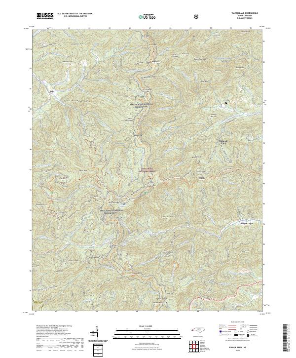
2022 Map of Wayah Bald
USGS Topo · Published 2022About this map
Nantahala National Forest dominates this section of the Blue Ridge, where the Appalachian National Scenic Trail winds across high summits like Siler Bald and Wayah Bald. The landscape is a network of ridges and deep coves, including the Split Whiteoak Ridge and Roaring Fork Ridge, which have long defined the movement of travelers through these highlands. Grounded in the local geography are traces of early habitation and transport, such as Jones Cabin and the site of Wayah Depot. The confluence of the Bartram Trail and the Appalachian Trail near Wayah Gap highlights the area's significance as a crossroads for mountain passage. Small traces of local history remain visible through the Tippet Cem and the settlement at Kyle, providing a record of the families who worked these slopes before the land was further consolidated into federal forest management.
Find a feature on this map
152 named features on this map. Tap any name to fly to it.
Don’t see what you’re looking for? This feature index may not catch every label — zoom into the map to look around manually.
Map Details
Editions of this 2022 Wayah Bald Map
This is the sole edition of this map. No revisions or reprints were ever made.
Other maps of this area

1891 · Cowee
USGS Topo · 1:125,000

1897 · Cowee
USGS Topo · 1:125,000

1907 · Cowee
USGS Topo · 1:125,000

1933 · Bryson
USGS Topo · 1:62,500

1933 · Bushnell
USGS Topo · 1:62,500

1935 · Franklin
USGS Topo · 1:24,000

1935 · Rainbow Springs
USGS Topo · 1:24,000

1935 · Prentiss
USGS Topo · 1:24,000

1935 · Shooting Creek
USGS Topo · 1:24,000

1935 · Burningtown Bald
USGS Topo · 1:24,000