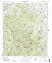
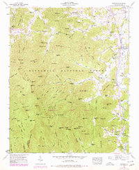
1946 Map of Prentiss
USGS Topo · Published 1978About this map
The Little Tennessee River valley defines the eastern edge of this landscape, serving as a corridor for settlement and agriculture amidst the dense peaks of the Nantahala National Forest. The map documents a rural economy where water power was once vital, evidenced by the presence of Addington Mill, McClure Mill, and McDonald Mill along the river's tributaries. Near the settlement of Otto, the Coweeta Experiment Station highlights the area's significance for forest research and hydrological study.
Find a feature on this map
120 named features on this map. Tap any name to fly to it.
Don’t see what you’re looking for? This feature index may not catch every label — zoom into the map to look around manually.
Map Details
Editions of this 1946 Prentiss Map
5 editions found
Other maps of this area

1886 · Dahlonega
USGS Topo · 1:125,000

1886 · Walhalla
USGS Topo · 1:125,000

1891 · Cowee
USGS Topo · 1:125,000

1892 · Dahlonega
USGS Topo · 1:125,000

1892 · Walhalla
USGS Topo · 1:125,000

1896 · Walhalla
USGS Topo · 1:125,000

1896 · Dahlonega
USGS Topo · 1:125,000

1897 · Cowee
USGS Topo · 1:125,000

1903 · Dahlonega
USGS Topo · 1:125,000

1907 · Cowee
USGS Topo · 1:125,000