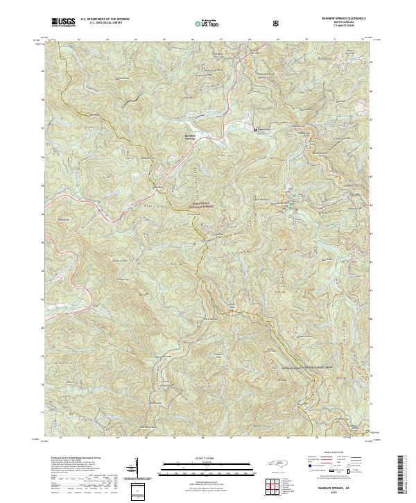
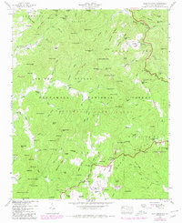
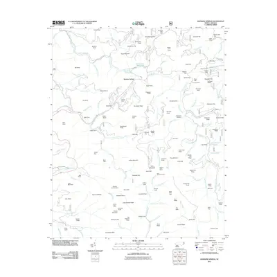
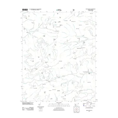
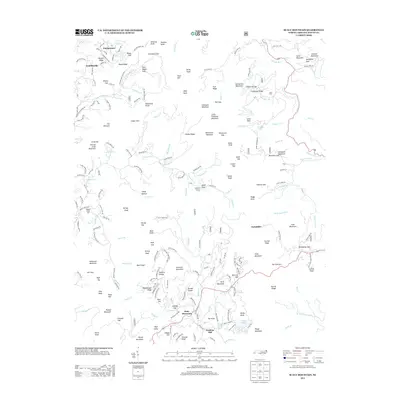
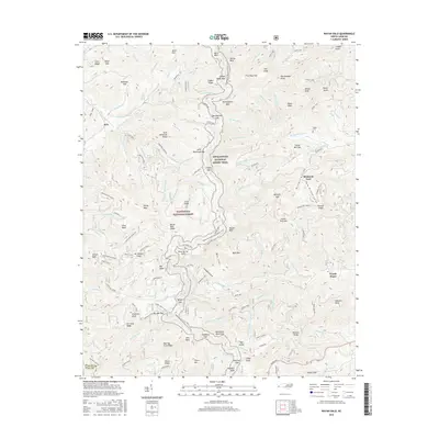
2022 Map of Rainbow Springs
USGS Topo · Published 2022About this map
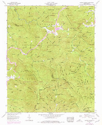
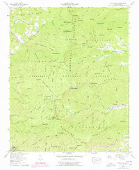
The Nantahala National Forest dominates this high-elevation landscape along the Macon and Clay County border. Centered on the settlement of Rainbow Springs, the terrain is a complex network of ridges and watercourses, including the headwaters of the Nantahala River and the Tallulah River. Notable for its density of named gaps and knobs, the map traces the Appalachian National Scenic Trail as it winds across the Nantahala Mountains through Wallace Gap and Rock Gap.
Find a feature on this map
191 named features on this map. Tap any name to fly to it.
Don’t see what you’re looking for? This feature index may not catch every label — zoom into the map to look around manually.
Map Details
Editions of this 2022 Rainbow Springs Map
This is the sole edition of this map. No revisions or reprints were ever made.
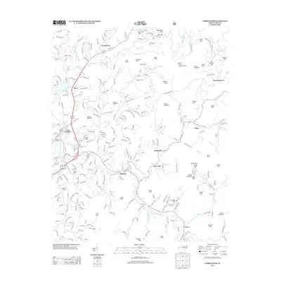
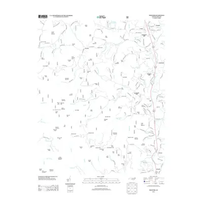
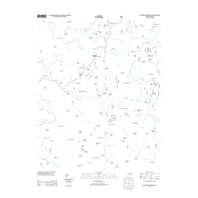
Historical Maps of Rainbow Springs Through Time
48 maps found

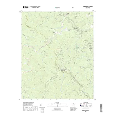
1935 Burningtown Bald
Macon County, NC

1935 Corbin Knob
Macon County, NC

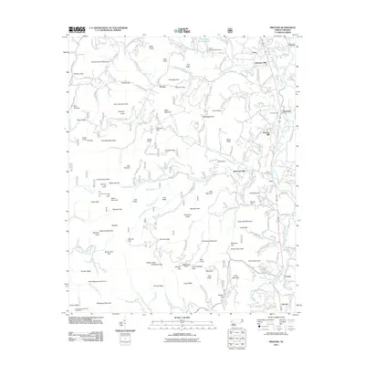
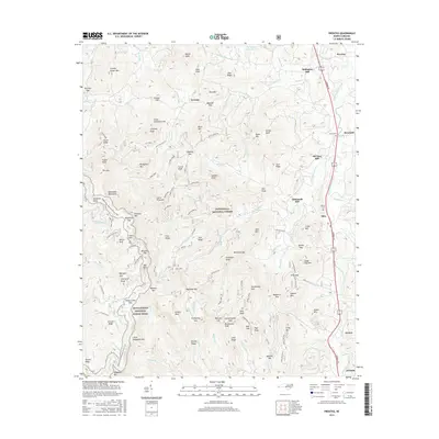
1935 Prentiss
Macon County, NC

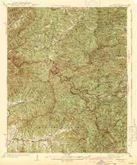
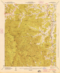
1935 Rainbow Springs
Macon County, NC

1935 Scaly
Macon County, NC

1935 Topton
Macon County, NC

1935 Wayah Bald
Macon County, NC
1942 Wayah Bald
Macon County, NC
1946 Corbin Knob
Macon County, NC
1946 Prentiss
Macon County, NC
1946 Scaly Mountain
Macon County, NC
1947 Corbin Knob
Macon County, NC
1947 Prentiss
Macon County, NC
1947 Scaly
Macon County, NC
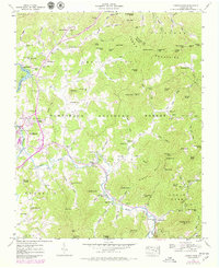
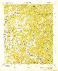
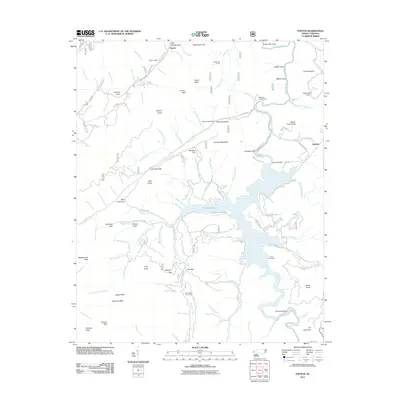
1957 Rainbow Springs
Macon County, NC
1957 Topton
Macon County, NC
1957 Wayah Bald
Macon County, NC

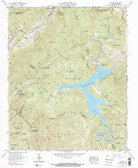
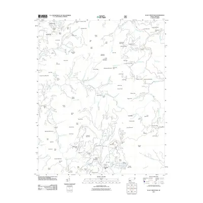
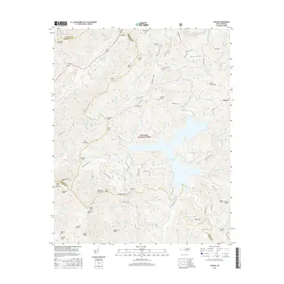
1983 Fontana Lake
Macon County, NC
2011 Corbin Knob
Macon County, NC
2011 Prentiss
Macon County, NC
2011 Rainbow Springs
Macon County, NC
2011 Scaly Mountain
Macon County, NC
2011 Topton
Macon County, NC
2011 Wayah Bald
Macon County, NC
2013 Corbin Knob
Macon County, NC
2013 Prentiss
Macon County, NC
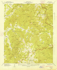
2013 Rainbow Springs
Macon County, NC
2013 Scaly Mountain
Macon County, NC
2013 Topton
Macon County, NC
2013 Wayah Bald
Macon County, NC
2016 Corbin Knob
Macon County, NC
2016 Prentiss
Macon County, NC
2016 Rainbow Springs
Macon County, NC
2016 Scaly Mountain
Macon County, NC
2016 Topton
Macon County, NC
2016 Wayah Bald
Macon County, NC
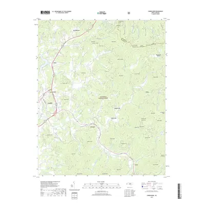
2019 Corbin Knob
Macon County, NC
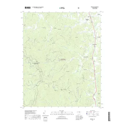
2019 Prentiss
Macon County, NC
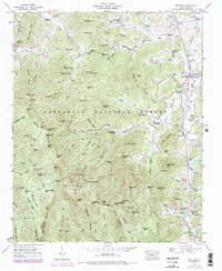
2019 Rainbow Springs
Macon County, NC
2019 Scaly Mountain
Macon County, NC
2019 Topton
Macon County, NC
2019 Wayah Bald
Macon County, NC
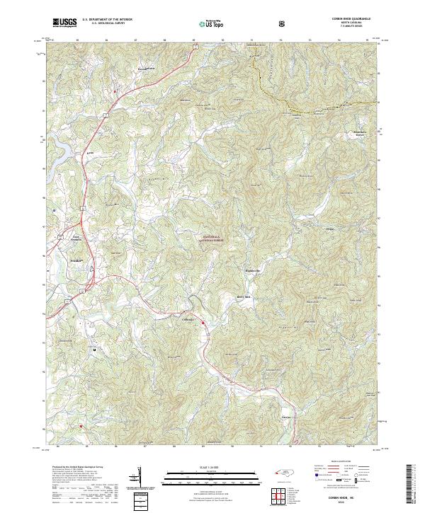
2022 Corbin Knob
Macon County, NC
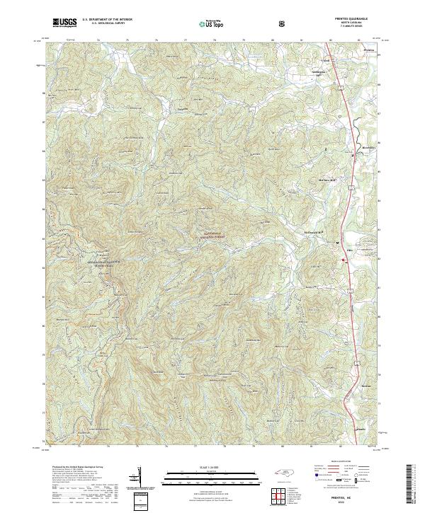
2022 Prentiss
Macon County, NC
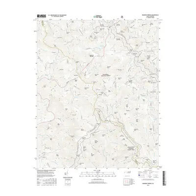
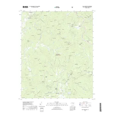
2022 Rainbow Springs
Macon County, NC
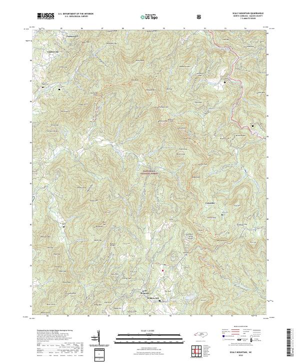
2022 Scaly Mountain
Macon County, NC
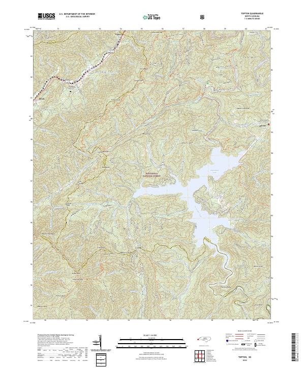
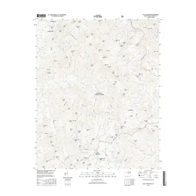
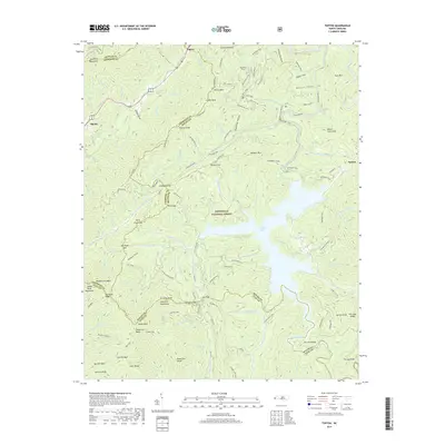
2022 Topton
Macon County, NC
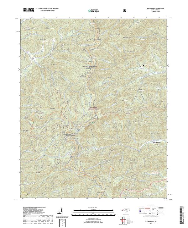
2022 Wayah Bald
Macon County, NC