
1935 Map of Topton
USGS Topo · Published 1935About this map
The Nantahala National Forest serves as the backdrop for this mid-1930s landscape, where industry and federal relief efforts intersect. The Ritter Lumber RR and Southern RR dominate the transport corridors, with the lumber line following the tight bends of the Nantahala River and Choga Creek. Civil Conservation Corps activity is prominent, with both CCC Camp No F 13 and CCC Camp No F 10 established to manage the timberlands. Small mountain settlements like Topton, Aquone, and Wine are connected by a network of ridges and gaps, including Junaluska Gap and Wolf Gap. The presence of the Corundum No 3 mine near Topton reflects the area's geological value during the era, while the Topton Sch and various schoolhouses suggest the remote but established community structure in the Valley River and Tusquitee Mountains region.
Find a feature on this map
113 named features on this map. Tap any name to fly to it.
Don’t see what you’re looking for? This feature index may not catch every label — zoom into the map to look around manually.
Map Details
Editions of this 1935 Topton Map
This is the sole edition of this map. No revisions or reprints were ever made.
Other maps of this area

1933 · Bushnell
USGS Topo · 1:62,500

1935 · Rainbow Springs
USGS Topo · 1:24,000

1935 · Robbinsville
USGS Topo · 1:24,000

1935 · Shooting Creek
USGS Topo · 1:24,000

1935 · Burningtown Bald
USGS Topo · 1:24,000

1935 · Wayah Bald
USGS Topo · 1:48,000

1935 · Andrews
USGS Topo · 1:24,000
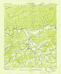
1935 · Hayesville
USGS Topo · 1:24,000

1936 · Wesser
USGS Topo · 1:24,000
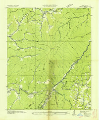
1936 · Hewitt
USGS Topo · 1:24,000