Old Maps of Bolton, North Carolina
Explore 17 old maps of Bolton, spanning from 1953 to today. These high-resolution historic maps reveal how streets, neighborhoods, landmarks, and natural features evolved over time — perfect for genealogy, metal detecting, research, and local history exploration.
What you can do with these maps:
- See how Bolton changed over time: Compare historical maps to modern-day views to trace roads, homesites, rail lines & more.
- View detailed metadata: Each map includes creators, publishers, year, scale, and archive source.
- Overlay maps with satellite & LiDAR: Visualize the past alongside modern tools to explore terrain & human change.
- Trusted historical sources: Maps sourced from the USGS, Library of Congress, and other archives.
- Access maps your way: View online, download high-res files, or order prints for personal or research use.
Start exploring old maps of Bolton to uncover forgotten places, hidden landmarks, and the deep history beneath your feet.
Bolton, NC maps
(17)- 1953 Map of Florence, 1964 Print
 1953 Florence1964 Print · USGSThe Carolina borderlands in the mid-fifties were a landscape of vast river swamps and rising rail towns. Trace the legacy of the Seaboard Air Line through Florence or explore the wetlands surrounding Lake Waccamaw and the Green Swamp.3 unique versions available
 - 1954 Map of Florence
 1954 Florence1954 Print · USGSThe Carolinas borderlands come alive in the early fifties, showing the vital rail-and-river networks of the coastal plain. Genealogists can trace family footprints across the Green Swamp or through settlements like Red Springs, Chadbourn, and McColl.
 - 1954 Map of Bolton, 1957 Print
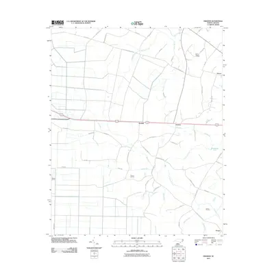
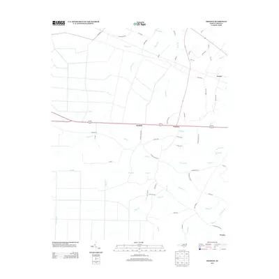
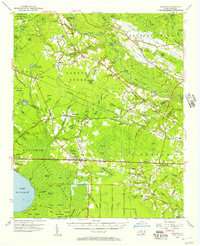 1954 Bolton1957 Print · USGSCoastal North Carolina's timber and rail corridor is captured here in the mid-fifties, spanning the rugged terrain between the Cape Fear River and Green Swamp. Researchers can trace old family sites and rural congregations at Weyman Chapel, New Hope Ch, and the settlement of Wananish.2 unique versions available
 - 1986 Map of Lake Waccamaw East
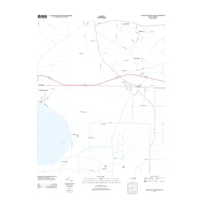
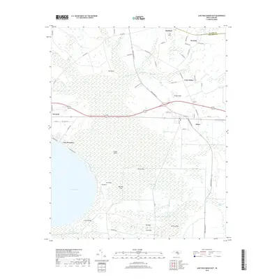
 1986 Lake Waccamaw East1986 Print · USGSCoastal plain wetlands and small-town rail corridors define this mid-1980s look at Columbus County. Researchers can trace the Seaboard System tracks through Bolton and locate family landmarks like Union Chapel and Goose Hollow.
 - 1986 Map of Freeman
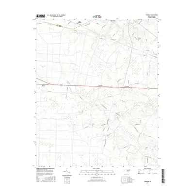
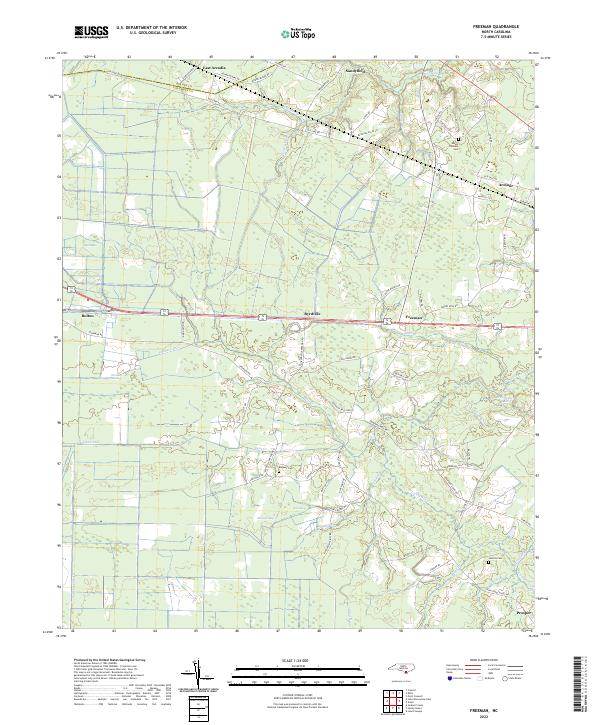
 1986 Freeman1986 Print · USGSSoutheastern North Carolina in the mid-1980s reveals a landscape of rural communities and railroad corridors along the Bladen and Columbus county line. Genealogists can trace family footprints through numerous country churches and cemeteries near Byrdville, Freeman, and East Arcadia.
 - 1986 Map of Whiteville
 1986 Whiteville1986 Print · USGSSoutheastern North Carolina and the South Carolina borderlands are captured here in the mid-1980s as a landscape of vast swamps and rail towns. Researchers can trace historic rail routes through Chadbourn, locate the namesake Lake Waccamaw, and explore family-named sites like Peacocks.
 - 1990 Map of Whiteville
 1990 Whiteville1990 Print · USGSSoutheastern North Carolina and the South Carolina borderlands appear in the late twentieth century, showing a landscape of river-swamps and tobacco towns. Researchers can trace family history through sites like Mount Olive Ch, the Seaboard Coast Line RR, and rural centers like Tabor City.
 - 2010 Map of Lake Waccamaw East, 2010 Print
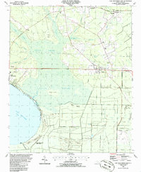
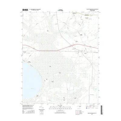
 2010 Lake Waccamaw East2010 Print · USGSCovers Bolton, including Lake Waccamaw, Buckhead, and other nearby areas
 - 2011 Map of Freeman, 2011 Print
 2011 Freeman2011 Print · USGSCovers Bolton, including East Arcadia, Sandyfield, and other nearby areas
 - 2013 Map of Freeman, 2013 Print
 2013 Freeman2013 Print · USGSCovers Bolton, including East Arcadia, Sandyfield, and other nearby areas
 - 2013 Map of Lake Waccamaw East, 2013 Print
 2013 Lake Waccamaw East2013 Print · USGSCovers Bolton, including Lake Waccamaw, Buckhead, and other nearby areas
 - 2016 Map of Lake Waccamaw East, 2016 Print
 2016 Lake Waccamaw East2016 Print · USGSCovers Bolton, including Lake Waccamaw, Buckhead, and other nearby areas
 - 2016 Map of Freeman, 2016 Print
 2016 Freeman2016 Print · USGSCovers Bolton, including East Arcadia, Sandyfield, and other nearby areas
 - 2019 Map of Lake Waccamaw East, 2019 Print
 2019 Lake Waccamaw East2019 Print · USGSCovers Bolton, including Lake Waccamaw, Buckhead, and other nearby areas
 - 2019 Map of Freeman, 2019 Print
 2019 Freeman2019 Print · USGSCovers Bolton, including East Arcadia, Sandyfield, and other nearby areas
 - 2022 Map of Freeman, 2022 Print
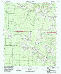
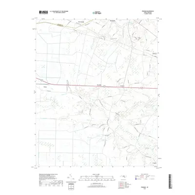
 2022 Freeman2022 Print · USGSThe lowland border between Columbus and Bladen Counties is captured here in the early twenty-first century, showing a landscape defined by creeks and canals. Researchers can locate family landmarks like Malpass Cemetery, and trace the rural reaches of Byrdville and Sandyfield.
 - 2022 Map of Lake Waccamaw East, 2022 Print
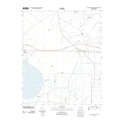
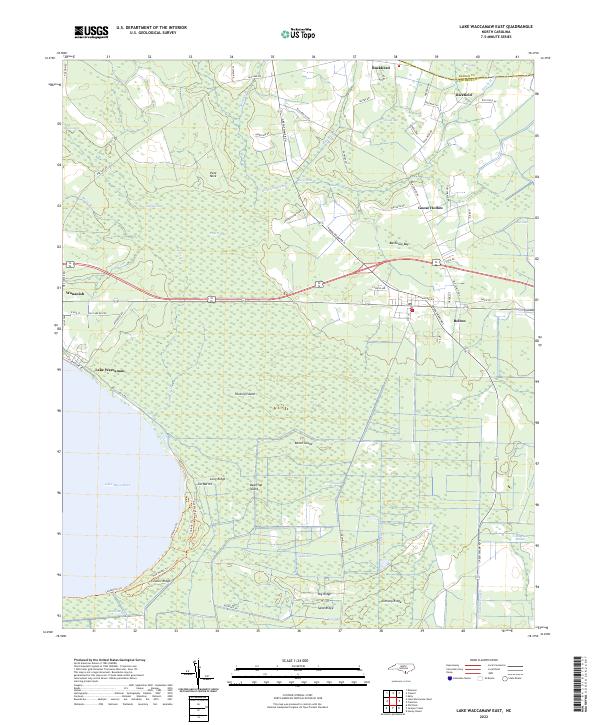 2022 Lake Waccamaw East2022 Print · USGSCoastal plain wetlands and the eastern shores of Lake Waccamaw define this part of Columbus County in the early 2020s. Genealogists and historians can trace the roads connecting Wananish, Bolton, and Council Ridge across the Green Swamp.
End of results
Showing maps 1-17 of 17
Top cities near Bolton
- Lake Waccamaw historical maps
- Northwest historical maps
- East Arcadia historical maps
- Sandyfield historical maps
- Atkinson historical maps
- Sandy Creek historical maps
Frequently asked questions
- What are the different types of historical maps available for Bolton?
- What is the oldest map of Bolton?
- Where can I purchase historical maps of Bolton for my home or office?
- Where can I download high-res historical maps of Bolton?
- Are there historical topographic maps available for Bolton?
- Is there historical aerial imagery available for Bolton?
- Where are historical maps of Bolton sourced from?