Old Maps of Trent Woods, North Carolina for Genealogy
Trace your family roots with 19 historic maps of Trent Woods. These high-res maps reveal old neighborhoods, homesites, landmarks, and streets — helping you uncover where your ancestors lived and how the area evolved over time.
- Explore historic neighborhoods: Identify where your relatives may have lived in the 1800s or 1900s.
- Compare maps over time: Trace the changes in streets, buildings, and landmarks for multi-generational research.
- Perfect for genealogy & ancestry research: Used by family historians and researchers to map out lineage and migration.
These maps are an incredible resource for exploring your personal connection to Trent Woods's past.
Trent Woods, NC maps
(19)- 1901 Map of New Bern, 1961 Print
 1901 New Bern1961 Print · USGSCoastal North Carolina at the turn of the century is a world of river traffic and rail expansion centered on New Bern. Genealogists and local historians can trace old river landings, ferries like Nelsons Old Ferry, and early rail stops at Rhems and Tuscarora.2 unique versions available
 - 1903 Map of New Bern, 1935 Print
 1903 New Bern1935 Print · USGSCoastal North Carolina thrived on river traffic and rail expansion during the first years of the new century. Genealogists and historians can trace the foundations of New Bern and James City alongside early river crossings like Streets Ferry and Nelsons Old Ferry.2 unique versions available
 - 1950 Map of Pollocksville, 1952 Print
 1950 Pollocksville1952 Print · USGSThe Jones and Craven County line comes alive in the 1950s as a network of river landings and coastal plain settlements. Researchers can trace family roots at Wesley Chapel, locate the old Rocky Run Sch, and follow the Atlantic and East Carolina Railroad through the Croatan National Forest.3 unique versions available
 - 1950 Map of New Bern, 1952 Print
 1950 New Bern1952 Print · USGSCoastal North Carolina comes alive in this mid-century portrait of the riverfront and surrounding forest. Genealogists can trace family names across Evergreen Cem and Greenwood Cem, or explore neighborhoods like James City and De Graffenried Park.5 unique versions available
 - 1953 Map of Rocky Mount, 1964 Print
 1953 Rocky Mount1964 Print · USGSEastern North Carolina in the mid-fifties is defined by its deep river basins and the vast wetlands of the Tidewater. Genealogists can trace family roots through hubs like Kinston and New Bern or explore the wilderness of Pettigrew State Park and Lake Mattamuskeet.4 unique versions available
 - 1954 Map of Rocky Mount
 1954 Rocky Mount1954 Print · USGSEastern North Carolina is mapped in the mid-fifties, showing a landscape of sounds, swamps, and steam-era rail lines. Genealogists can trace the rural road networks and rail spurs connecting towns like Tarboro, Greenville, and the remote Columbia.
 - 1985 Map of Kinston
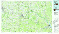 1985 Kinston1985 Print · USGSCoastal plain life and Cold War infrastructure meet in the mid-eighties as the Neuse River winds through agricultural heartlands. Researchers can locate family landmarks like Falling Creek Cem, old milling sites such as Tulls Mill, and the massive Voice of America Radio Towers.2 unique versions available
 - 1994 Map of Pollocksville, 1997 Print
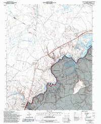 1994 Pollocksville1997 Print · USGSJones and Craven counties appear here in the mid-nineties as the Trent River landscape balances forest conservation and rural growth. Researchers can locate family landmarks like Simmons Corner and Jones Corner alongside historic sites like Wesley Chapel.2 unique versions available
 - 1994 Map of New Bern, 1997 Print
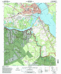 1994 New Bern1997 Print · USGSThe confluence of the Neuse and Trent Rivers defines this coastal landscape in the mid-nineties. Genealogists can trace family names through the National Cemetery and St Pauls Church or explore the riverfront at Bridgeton and James City.3 unique versions available
 - 2011 Map of New Bern, 2011 Print
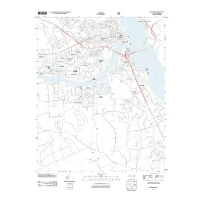 2011 New Bern2011 Print · USGSNew Bern and its riverfront neighborhoods are shown here in detail during the early twenty-first century. Genealogists and historians can trace cemetery locations and residential growth in James City, Bridgeton, and Trent Woods.
 - 2011 Map of Pollocksville, 2011 Print
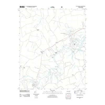 2011 Pollocksville2011 Print · USGSPollocksville and the winding Trent River valley are captured here just after the turn of the millennium. Researchers can trace family-named crossroads like Jones Corner and Simmons Corner, or locate river landmarks such as Bells Landing and the Island Creek Fire Tower.
 - 2013 Map of Pollocksville, 2013 Print
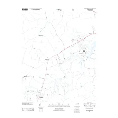 2013 Pollocksville2013 Print · USGSThe riverfront and rural crossroads of Craven County come alive in this early twenty-first-century survey. Genealogists and researchers can trace the reach of the Trent River through historic sites like Taylor Landing, the Island Creek Fire Tower, and the town of Pollocksville.
 - 2013 Map of New Bern, 2013 Print
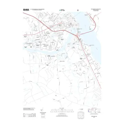 2013 New Bern2013 Print · USGSThe riverfront communities of the Neuse and Trent rivers are shown in detail during the early 2010s. Local researchers can trace family lands and neighborhood growth from Bridgeton down to James City and the quiet landings along Brice Creek.
 - 2016 Map of Pollocksville, 2016 Print
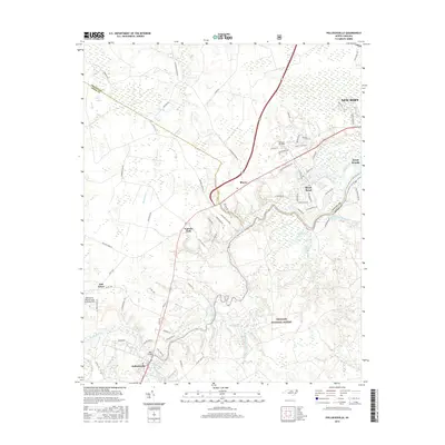 2016 Pollocksville2016 Print · USGSCoastal North Carolina river life and military history converge here as the late twentieth-century growth of River Bend and Trent Woods meets the ancient Great Dover Swamp. Researchers can trace the wetlands and tributaries of the Trent River near the Oak Grove Marine Corps Outlying Field and the Croatan National Forest.
 - 2016 Map of New Bern, 2016 Print
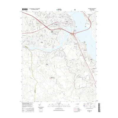 2016 New Bern2016 Print · USGSNew Bern and its coastal surroundings are captured here in the mid-2010s as the city continues to anchor the confluence of the Neuse and Trent Rivers. Researchers can trace established neighborhoods and historic sites like Cedar Grove Cemetery, James City, and the borders of the Croatan National Forest.
 - 2019 Map of New Bern, 2019 Print
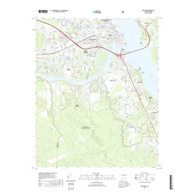 2019 New Bern2019 Print · USGSNew Bern and its surrounding riverfront communities are captured here in the late 2010s at the confluence of the Neuse and Trent Rivers. Researchers can locate numerous local landmarks, including the New Bern National Cemetery, James City, and the Craven Community College campus.
 - 2019 Map of Pollocksville, 2019 Print
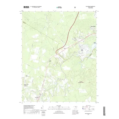 2019 Pollocksville2019 Print · USGSThe Trent River valley south of New Bern reflects a unique blend of modern suburban expansion and deep-rooted rural settlements. Genealogists and historians can trace family-named roads and landmarks from Pollocksville to Rhems and the Oak Grove military installation.
 - 2022 Map of New Bern, 2022 Print
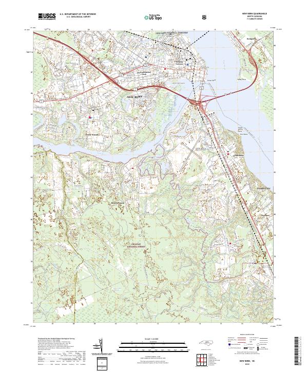 2022 New Bern2022 Print · USGSIn the early 2020s, the historic riverport of New Bern remains a bustling hub at the meeting of the Neuse River and Trent River. Genealogists and historians can locate the New Bern National Cemetery and landmarks like the Craven County Courthouse or Union Point.
 - 2022 Map of Pollocksville, 2022 Print
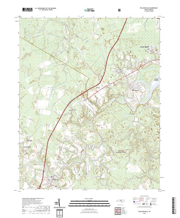 2022 Pollocksville2022 Print · USGSCoastal North Carolina's riverine landscape comes to life in this survey of the communities south of New Bern. Genealogists and researchers can trace the roads around Pollocksville, locate the Pollocksville Cem, and explore the edges of the Croatan National Forest.
End of results
Showing maps 1-19 of 19
Top cities near Trent Woods
- New Bern historical maps
- Havelock historical maps
- James City historical maps
- Brices Creek historical maps
- River Bend historical maps
- Fairfield Harbour historical maps
See more
Top neighborhoods of Trent Woods
- Creekwood historical maps
- Edgewood historical maps
- Fox Hollow historical maps
- Holly Hills historical maps
- Trent Shores historical maps
- Wilson Creek Heights historical maps
See more
Frequently asked questions
- What are the different types of historical maps available for Trent Woods?
- What is the oldest map of Trent Woods?
- Where can I purchase historical maps of Trent Woods for my home or office?
- Where can I download high-res historical maps of Trent Woods?
- Are there historical topographic maps available for Trent Woods?
- Is there historical aerial imagery available for Trent Woods?
- Where are historical maps of Trent Woods sourced from?