Old Maps of Hope Mills, North Carolina for Hiking & Exploration
Hike through history with 23 historic maps of Hope Mills. Explore old trails, ghost towns, and forgotten backroads — perfect for outdoor adventurers and local explorers.
- Rediscover forgotten places: Map out old mining camps, roads, and footpaths that no longer exist on modern maps.
- Layer with modern tools: Combine with LiDAR or satellite views to plan hikes through historical terrain.
- Made for exploration: Popular among hikers, overlanders, and local history lovers.
Use these maps to find adventure and explore the hidden past of Hope Mills.
Hope Mills, NC maps
(23)- 1948 Map of Fayetteville, 1954 Print
 1948 Fayetteville1954 Print · USGSFayetteville and its sprawling military neighbor are caught here just after the war, showing the area's mix of urban growth and rural heritage. Genealogists can locate family landmarks like Bonnie Doone and Magnolia Ch, or trace the rails of the Atlantic Coast Line.
 - 1950 Map of Fayetteville
 1950 Fayetteville1950 Print · USGSMid-century Fayetteville is a bustling hub where the growing city limits meet the rural traditions of Cumberland County. Genealogists and historians can trace the foundations of local neighborhoods through sites like the State Teachers College, McPhersons Ch Cem, and the old rail stop at Skibo Station.2 unique versions available
 - 1953 Map of Florence, 1964 Print
 1953 Florence1964 Print · USGSThe Carolina borderlands in the mid-fifties were a landscape of vast river swamps and rising rail towns. Trace the legacy of the Seaboard Air Line through Florence or explore the wetlands surrounding Lake Waccamaw and the Green Swamp.3 unique versions available
 - 1953 Map of Raleigh, 1965 Print
 1953 Raleigh1965 Print · USGSCentral North Carolina in the early sixties shows a landscape of growing towns and military hubs before the full expansion of the interstate system. Genealogists can trace family footprints across the Piedmont through Wake Forest, Siler City, and the large Fort Bragg Military Reservation.4 unique versions available
 - 1954 Map of Florence
 1954 Florence1954 Print · USGSThe Carolinas borderlands come alive in the early fifties, showing the vital rail-and-river networks of the coastal plain. Genealogists can trace family footprints across the Green Swamp or through settlements like Red Springs, Chadbourn, and McColl.
 - 1954 Map of Raleigh
 1954 Raleigh1954 Print · USGSThe North Carolina Piedmont and Sandhills are captured in the mid-fifties during a period of steady regional growth. Genealogists and historians can trace the development of towns like Siler City or locate landmarks such as Falls of Neuse and Camp Mackall.
 - 1957 Map of Fayetteville, 1960 Print
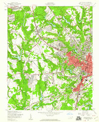 1957 Fayetteville1960 Print · USGSFayetteville at the peak of the post-war era shows a bustling city expanding toward the Fort Bragg Military Reservation. Genealogists and historians can trace old neighborhoods like Haymount, locate institutions like the State Teachers College, and find family landmarks like Lafayette Memorial Cem.5 unique versions available
 - 1957 Map of Fayetteville, 1961 Print
 1957 Fayetteville1961 Print · USGSThe Cape Fear River valley and Fayetteville's growing suburbs are captured here in the late fifties, showing the expanding footprint of the Fort Bragg Military Reservation. Genealogists can trace early neighborhood development and rural landmarks like Lakedale, Manchester, and Central High Sch.2 unique versions available
 - 1959 Map of Saint Pauls, 1961 Print
 1959 Saint Pauls1961 Print · USGSThe rural stretches of Cumberland and Robeson counties are captured here in the late fifties, showing a landscape defined by the Cape Fear River and its rail networks. Researchers can trace numerous country landmarks like Antioch Ch, Spring Hill Cem, and the timber bay of Gallberry Bay.2 unique versions available
 - 1976 Map of Fayetteville, 1978 Print
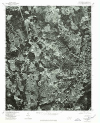 1976 Fayetteville1978 Print · USGSMid-1970s Cumberland County is documented in this detailed aerial survey showing the rapid suburban growth of the era. Researchers can trace the exact layout of residential streets and land clearing around Fayetteville, Bonnie Doone, and Lakedale.
 - 1982 Map of Elizabethtown, 1983 Print
 1982 Elizabethtown1983 Print · USGSSoutheastern North Carolina's coastal plain is captured here in the early eighties, showcasing a landscape defined by the Cape Fear River and mysterious Carolina Bays. Genealogists and researchers can trace the rail network of the Seaboard Coast Line through rural communities like Autryville, Ivanhoe, and the recreational hub of White Lake.
 - 1986 Map of Fayetteville
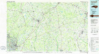 1986 Fayetteville1986 Print · USGSThe North Carolina coastal plain appears in the mid-1980s as a bustling corridor of military installations and historic tobacco towns. Genealogists and historians can trace the footprints of Fort Bragg Military Reservation, Campbell University, and the rail lines of the Seaboard Coast Line RR.2 unique versions available
 - 1986 Map of Hope Mills, 1987 Print
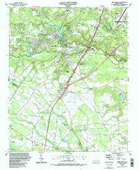 1986 Hope Mills1987 Print · USGSCumberland County saw significant suburban and industrial transition in the mid-eighties as modern infrastructure met older rural foundations. You can trace family roots at Adcox Cem, locate the former Old Railroad Grade, or study community hubs like Hope Mills Lake and Stony Point Ch.2 unique versions available
 - 1997 Map of Fayetteville, 2000 Print
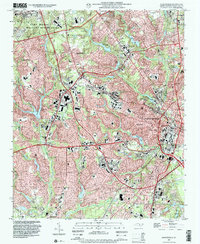 1997 Fayetteville2000 Print · USGSFayetteville enters the final years of the century as a major military and transit hub, balancing the expansion of Fort Bragg with deep-rooted civilian neighborhoods. Genealogists can trace local landmarks like Lafayette Memorial Cemetery, Magnolia Ch, and the grounds of Fayetteville State University.
 - 2010 Map of Hope Mills, 2010 Print
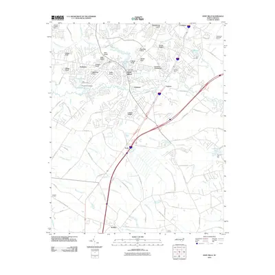 2010 Hope Mills2010 Print · USGSCumberland County saw significant suburban growth south of Fayetteville by the early 2010s. Researchers can locate family burial sites at Adcox or Nicholson Cemetery and trace water control points like Hope Mills Dam No. 1.
 - 2013 Map of Hope Mills, 2013 Print
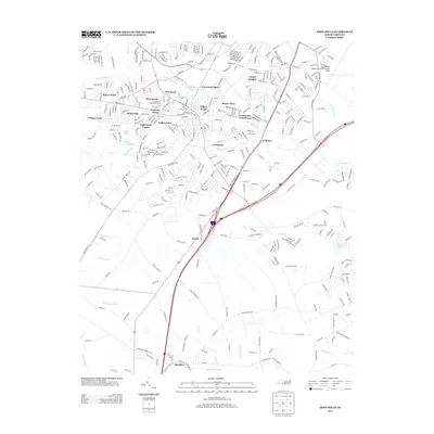 2013 Hope Mills2013 Print · USGSCumberland County south of Fayetteville shows a blend of suburban growth and traditional wetlands just after the millennium. Genealogists and local historians can trace family-named roads and rural settlements like McMillan, Roslin, and the shores of Hope Mills Lake.
 - 2013 Map of Fayetteville, 2013 Print
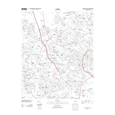 2013 Fayetteville2013 Print · USGSFayetteville was a bustling hub of modern residential expansion in the early 2010s. Researchers can trace the exact boundaries of established neighborhoods like Cottonade and Bizza Ridge or locate local landmarks like Bonnie Doone Lake and the Massey Hill Athletic Field.
 - 2016 Map of Hope Mills, 2016 Print
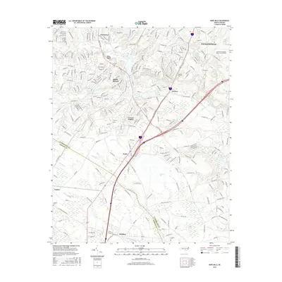 2016 Hope Mills2016 Print · USGSCumberland and Robeson counties are captured here in the mid-2010s, showing the evolving suburban landscape south of Fayetteville. Researchers can trace the town growth in Hope Mills and locate local landmarks like Adcox Cem, Number Two Lake, and Roslin.
 - 2016 Map of Fayetteville, 2016 Print
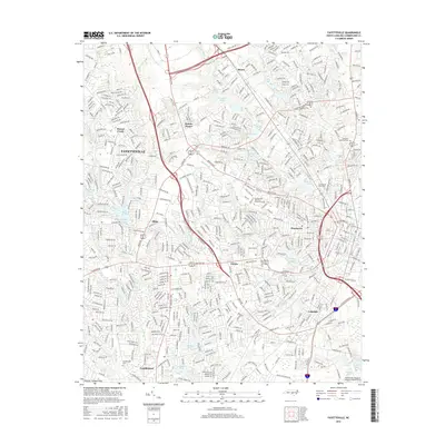 2016 Fayetteville2016 Print · USGSMid-century suburban growth and established neighborhoods define the Fayetteville area in the early twenty-first century. Researchers can trace local landmarks and community centers ranging from Fayetteville State University to the Lafayette Memorial Cemetery.
 - 2019 Map of Hope Mills, 2019 Print
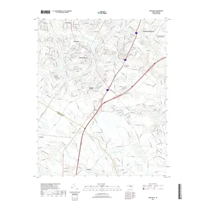 2019 Hope Mills2019 Print · USGSThe suburbs south of Fayetteville were rapidly evolving in the late 2010s as residential growth pushed toward the Robeson County line. Genealogists can locate family sites at Adcox Cem and Parnell Cem, or trace the winding course of Rockfish Creek.
 - 2019 Map of Fayetteville, 2019 Print
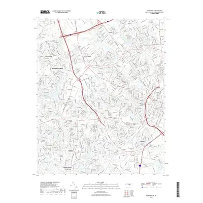 2019 Fayetteville2019 Print · USGSFayetteville and its neighboring suburbs in Cumberland County are shown here during a period of significant residential and commercial maturity. Genealogists and local researchers can trace the neighborhoods of Bonnie Doone, Skibo, and Lakedale alongside local landmarks like Lafayette Memorial Cemetery.
 - 2022 Map of Hope Mills, 2022 Print
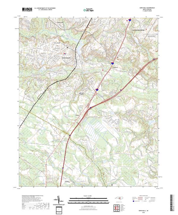 2022 Hope Mills2022 Print · USGSCumberland County enters the 2020s as a blend of growing residential hubs and ancient Carolina bay landscapes. Genealogists can trace local roots through Adcox Cem and Parnell Cem, or explore the unique geography of Gallberry Bay and Rockfish Creek.
 - 2022 Map of Fayetteville, 2022 Print
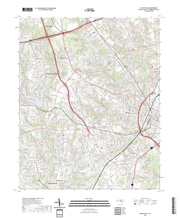 2022 Fayetteville2022 Print · USGSFayetteville and its southern neighbor Hope Mills appear at a moment of significant 21st-century growth and urban density. Researchers can trace local landmarks from the Cumberland County Courthouse to the historic grounds of Cumberland Cem and Bonnie Doone Lake.
End of results
Showing maps 1-23 of 23
Top cities near Hope Mills
- Fayetteville historical maps
- Spring Lake historical maps
- Stedman historical maps
- Wade historical maps
- Parkton historical maps
- Rennert historical maps
See more
Top neighborhoods of Hope Mills
- Southview Townhouses historical maps
- Clifton Forge historical maps
- Creekbend historical maps
- Fairway Forest historical maps
- Golfer Acres historical maps
- Pinewood Lakers historical maps
See more
Frequently asked questions
- What are the different types of historical maps available for Hope Mills?
- What is the oldest map of Hope Mills?
- Where can I purchase historical maps of Hope Mills for my home or office?
- Where can I download high-res historical maps of Hope Mills?
- Are there historical topographic maps available for Hope Mills?
- Is there historical aerial imagery available for Hope Mills?
- Where are historical maps of Hope Mills sourced from?