Old Maps of Moyock, North Carolina for Genealogy
Trace your family roots with 19 historic maps of Moyock. These high-res maps reveal old neighborhoods, homesites, landmarks, and streets — helping you uncover where your ancestors lived and how the area evolved over time.
- Explore historic neighborhoods: Identify where your relatives may have lived in the 1800s or 1900s.
- Compare maps over time: Trace the changes in streets, buildings, and landmarks for multi-generational research.
- Perfect for genealogy & ancestry research: Used by family historians and researchers to map out lineage and migration.
These maps are an incredible resource for exploring your personal connection to Moyock's past.
Moyock, NC maps
(19)- 1939 Map of Moyock, 1959 Print
 1939 Moyock1959 Print · USGSThe Virginia and North Carolina borderlands come to life in this pre-war survey of the tidewater region, where the Intracoastal Waterway meets the coastal swamps. Researchers can trace family roots through numerous landmarks like Moyock Cem, Pungo Ferry, and the Willow Grove Sch.
 - 1946 Map of Moyock
 1946 Moyock1946 Print · USGSThe Virginia and North Carolina borderlands come alive in the mid-1940s, showing a landscape of rail-connected crossroads and tidal waterways. Genealogists can locate family landmarks like Moyock Cem, St Brides, and the Willow Grove Sch.2 unique versions available
 - 1948 Map of Elizabeth City
 1948 Elizabeth City1948 Print · USGSCoastal North Carolina at the end of the 1940s reveals a landscape of massive swamps and vital rail corridors. Genealogists and historians can trace family-named crossroads like Hastings Corner and Smiths Corner, or locate the old Lumber Mill and Norfolk Southern Railroad stops.2 unique versions available
 - 1953 Map of Norfolk, 1954 Print
 1953 Norfolk1954 Print · USGSCoastal Virginia and northeastern North Carolina appear here during the post-war industrial boom, showing the critical rail-and-sea connections of Hampton Roads. Genealogists can trace family roots through rural landmarks like Gethsemane Ch, the Caledonia State Prison Farm, and the vast interior of the Dismal Swamp.4 unique versions available
 - 1954 Map of Moyock, 1956 Print
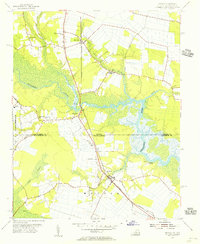 1954 Moyock1956 Print · USGSCoastal Virginia and North Carolina met at the rail and river crossings of the mid-fifties, before modern expansion altered the rural landscape. Genealogists and local historians can trace family locations near Saint Brides, Moyock, and several rural churches like Willow Grove Ch.5 unique versions available
 - 1982 Map of Lambs Corner, 1983 Print
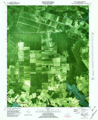 1982 Lambs Corner1983 Print · USGSCamden and Currituck counties appear in the early 1980s as a landscape of managed wetlands and rural rail hubs. Researchers can trace the drainage of the Great Dismal Swamp via the Guiena Mill Run Canal or locate families near Gregory and Lambs Corner.
 - 1985 Map of Elizabeth City
 1985 Elizabeth City1985 Print · USGSCoastal North Carolina's rivers and sounds define the landscape of the mid-eighties, from the vast swamps to the historical waterfronts of Elizabeth City and Edenton. Researchers can trace the rail lines of the Southern Ry or locate landmarks like Beaver Hill Cem and South Mills.2 unique versions available
 - 1985 Map of Norfolk, 1986 Print
 1985 Norfolk1986 Print · USGSThe Tidewater region in the mid-eighties shows the dense urban expansion of the coastal cities alongside the preservation of the Great Dismal Swamp. Researchers can trace rural family-named crossroads and historic transit routes like the Seaboard Coast Line or find Somerton and Lake Drummond.3 unique versions available
 - 1997 Map of Lambs Corner, 2000 Print
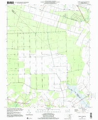 1997 Lambs Corner2000 Print · USGSCamden and Currituck counties appear at the end of the twentieth century, defined by the massive reach of the Great Dismal Swamp. Genealogists and local historians can trace rural homesteads near Lambs Corner or follow the path of the Guiena Mill Run Canal.
 - 2010 Map of Lambs Corner, 2010 Print
 2010 Lambs Corner2010 Print · USGSCurrituck County's coastal plain is captured here in the early twenty-first century, showcasing a landscape shaped by intricate water management. Researchers can trace the development of small communities like Lambs Corner and Guinea while exploring an extensive network of drainage channels such as Lateral A Canal and Guinea Mill Run Canal.
 - 2011 Map of Moyock, 2011 Print
 2011 Moyock2011 Print · USGSCoastal North Carolina and Virginia meet here in the early twenty-first century, where crossroads communities sit among winding river marshes. Genealogists can trace family roots through the Northwest Cemetery, Moyock Cemetery, and the old Northwest Post Office.
 - 2013 Map of Lambs Corner, 2013 Print
 2013 Lambs Corner2013 Print · USGSCoastal North Carolina at the start of the 2010s reveals a landscape meticulously managed by historic drainage networks and rural settlements. Researchers can trace the layout of Lambs Corner, the Blackwater Airstrip, and the path of the Guinea Mill Run Canal.
 - 2013 Map of Moyock, 2013 Print
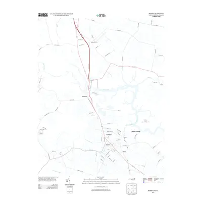 2013 Moyock2013 Print · USGSThe North Carolina-Virginia borderlands are captured here in the early twenty-first century as modern transit corridors meet the marshy lowlands of the Northwest River. Researchers can trace local development in Moyock or find the remote river access points at Panther Landing and Morse.
 - 2016 Map of Lambs Corner, 2016 Print
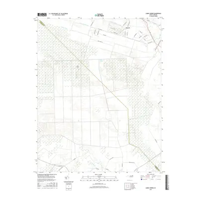 2016 Lambs Corner2016 Print · USGSThe Currituck County wetlands are captured here in the mid-2010s, showing the intersection of suburban growth and the expansive Great Dismal Swamp. Trace the engineered water systems of the Guinea Mill Run Canal and the residential streets of Moyock.
 - 2016 Map of Moyock, 2016 Print
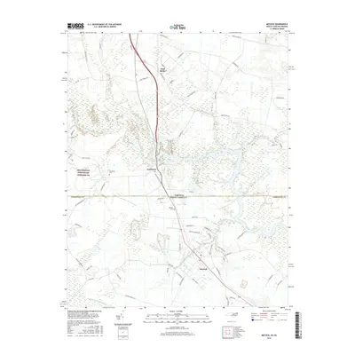 2016 Moyock2016 Print · USGSThe Virginia and North Carolina borderlands come into focus in the mid-2010s, showing the interaction between military installations and coastal wetlands. Researchers can trace family sites and local history through Northwest Cem, the rural roads of Saint Brides, and the waters of Shingle Landing Creek.
 - 2019 Map of Moyock, 2019 Print
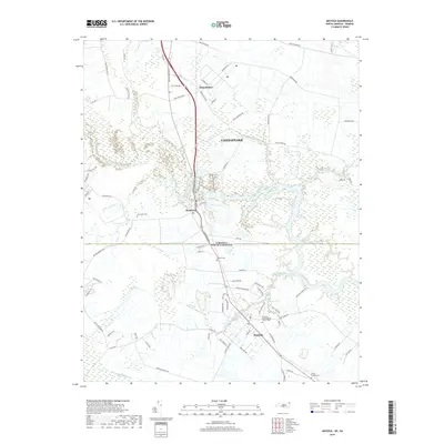 2019 Moyock2019 Print · USGSThe borderlands of North Carolina and Virginia are captured here in the late 2010s, where the community of Moyock meets the expansive Light Swamp. Local historians can trace family roots at the Askew Family Cem or follow the historic Guinea Mill Run Canal through the lowland landscape.
 - 2019 Map of Lambs Corner, 2019 Print
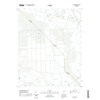 2019 Lambs Corner2019 Print · USGSCurrituck and Camden Counties appear here in the modern era, where the engineered landscape of the Great Dismal Swamp meets rural North Carolina. Researchers can trace land use along the Guinea Mill Run Canal or locate local landmarks like Cedar Branch Baptist Church.
 - 2022 Map of Lambs Corner, 2022 Print
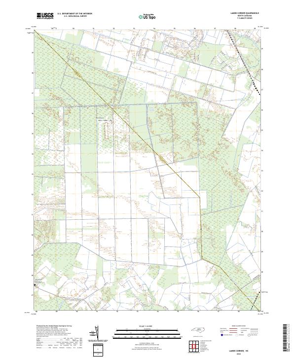 2022 Lambs Corner2022 Print · USGSEastern North Carolina's borderlands are defined by the Great Dismal Swamp in this 2022 survey. Genealogists and historians can trace local landmarks like Cedar Branch Baptist Church or the intricate Guinea Mill Run Canal system.
 - 2022 Map of Moyock, 2022 Print
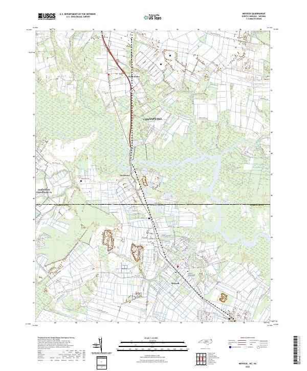 2022 Moyock2022 Print · USGSCrossing the state line between Virginia and North Carolina in the early 2020s, this area shows a landscape defined by the Northwest River and rural crossroads. Genealogists can locate several burial sites including Moyock Cem and Askew Family Cem near the Shingle Landing Creek.
End of results
Showing maps 1-19 of 19
Top cities near Moyock
- Chesapeake historical maps
- Elizabeth City historical maps
- South Mills historical maps
- Coinjock historical maps
Top neighborhoods of Moyock
Frequently asked questions
- What are the different types of historical maps available for Moyock?
- What is the oldest map of Moyock?
- Where can I purchase historical maps of Moyock for my home or office?
- Where can I download high-res historical maps of Moyock?
- Are there historical topographic maps available for Moyock?
- Is there historical aerial imagery available for Moyock?
- Where are historical maps of Moyock sourced from?