Old Maps of Lexington, North Carolina for Academic Research
Study the evolution of Lexington with 21 high-resolution historic maps. Whether you're teaching, researching, or modeling changes in land use, these maps provide essential visual documentation of urban, environmental, and geographic change.
- Analyze long-term change: Track patterns in development, transportation, and natural features.
- Ideal for environmental or urban studies: Support academic projects with primary historical map data.
- Use in the classroom or lab: Educators and researchers rely on these maps to bring historical context to life.
These maps are a powerful tool for teaching, research, and visualizing how Lexington has changed over the decades.
Lexington, NC maps
(21)- 1950 Map of Lexington East, 1965 Print
 1950 Lexington East1965 Print · USGSDavidson County at mid-century shows a landscape of growing towns and established rural crossroads before major highway expansions. Genealogists can trace family landmarks like Old Becks Ch, the County Home, and the former Dunbar Sch.4 unique versions available
 - 1950 Map of Lexington West, 1969 Print
 1950 Lexington West1969 Print · USGSWestern Davidson County at the mid-century shows a landscape of growing mill towns and rural communities. Genealogists can trace family landmarks like Erlanger, Robbins Sch, and Pauls Chapel along the Southern railroad line.3 unique versions available
 - 1951 Map of Lexington East
 1951 Lexington East1951 Print · USGSDavidson County at mid-century reveals a landscape of rural crossroads and growing industry south of the main rail corridors. Researchers can trace ancestral locations at Old Becks Ch, locate the State Prison Camp No 602, or study the early shoreline of High Rock Lake.
 - 1951 Map of Lexington West
 1951 Lexington West1951 Print · USGSMid-century Davidson County comes alive in this survey of western Lexington and the surrounding townships during a period of steady post-war growth. Researchers can trace the footprints of communities like Erlanger and Reeds Crossroads or locate family sites at Owens Cemetery and Pauls Chapel.
 - 1953 Map of Charlotte, 1968 Print
 1953 Charlotte1968 Print · USGSThe North Carolina Piedmont and South Carolina borderlands are shown in detail during a period of significant growth and reservoir development. Trace the rail corridors of the Southern Railway or find family roots in towns like China Grove, Misenheimer, and Lincolnton.3 unique versions available
 - 1954 Map of Charlotte
 1954 Charlotte1954 Print · USGSThe North Carolina Piedmont in the mid-1950s shows a region of rapid growth and industrial expansion centered around Charlotte. Trace the era's infrastructure through the Southern railroad lines and locate significant landmarks like the Charlotte Naval Ammunition Depot and Lake Norman.2 unique versions available
 - 1960 Map of Charlotte
 1960 Charlotte1960 Print · USGSMid-century North Carolina and South Carolina meet in this 1960 survey of the Piedmont's industrial and textile heartland. Trace the growth of Charlotte alongside historic landmarks like Kings Mountain National Military Park and the Charlotte Naval Ammunition Depot.2 unique versions available
 - 1962 Map of Charlotte
 1962 Charlotte1962 Print · USGSThe North Carolina Piedmont in the early sixties showcases a landscape transformed by massive reservoirs and industrial growth. Researchers can trace the development of Lake Norman, locate the Charlotte Naval Ammunition Depot, or find family landmarks like Wesley Chapel and Brown & Norcott Mills.
 - 1977 Map of Lexington East, 1979 Print
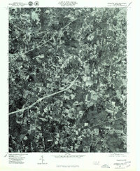 1977 Lexington East1979 Print · USGSThe eastern edge of Lexington and its surrounding groves are captured in this late 1970s aerial survey. Trace the layout of farmsteads and rural crossroads near Holly Grove, Hedrick Grove, and the distinctive Three Hat Mountain.
 - 1977 Map of Lexington West, 1979 Print
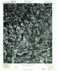 1977 Lexington West1979 Print · USGSThe western outskirts of Davidson County appear in crisp detail during the late 1970s as the suburbs began to meet the traditional Piedmont farmscape. Researchers can trace the development of Lexington and the rural layout of Reeds Crossroads or Linwood.
 - 1985 Map of Salisbury, 1986 Print
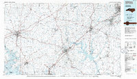 1985 Salisbury1986 Print · USGSNorth Carolina’s industrial Piedmont region comes into focus during the mid-eighties as textile and rail towns expanded. Genealogists and historians can locate rural landmarks like Davidson College and Boones Cave State Park or trace the Southern Railway through Lexington and Salisbury.2 unique versions available
 - 2010 Map of Lexington East, 2010 Print
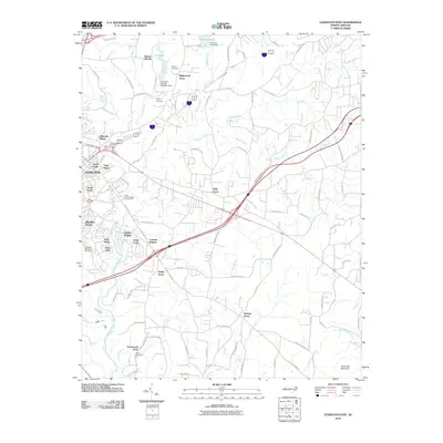 2010 Lexington East2010 Print · USGSThe eastern edges of Lexington and the surrounding Davidson County countryside are captured here in the early twenty-first century. Researchers can locate historic community centers like Sandy Grove, family-rooted sites at Becks Cemetery, and the shoreline of Lake Tom-A-Lex.
 - 2010 Map of Lexington West, 2010 Print
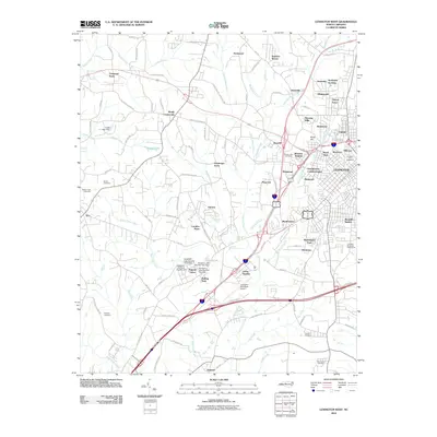 2010 Lexington West2010 Print · USGSThe Western outskirts of Lexington are shown here in the early 2000s as suburban residential neighborhoods expanded into the surrounding countryside. Researchers can locate numerous family and community burial grounds, from Owens Cemetery to the historic mill-village area of Erlanger.
 - 2013 Map of Lexington East, 2013 Print
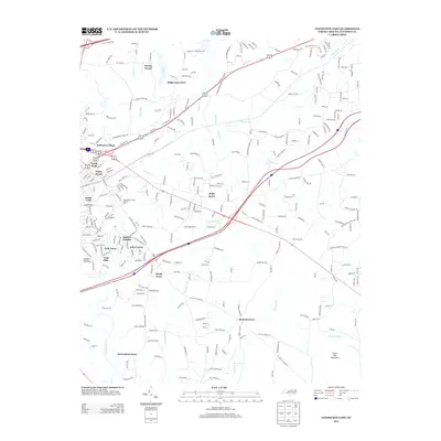 2013 Lexington East2013 Print · USGSDavidson County at the start of the 2010s shows a landscape of growing residential tracts and rural crossroads. Local historians can trace the development of Jefferson Village, Holly Grove, and the site of State Prison Camp Number 602 near the banks of Abbotts Cr.
 - 2013 Map of Lexington West, 2013 Print
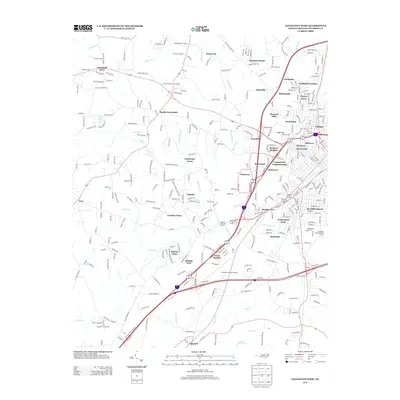 2013 Lexington West2013 Print · USGSThe western edges of Lexington come into focus during this period of 21st-century suburban growth and transit development. Researchers can trace the layout of residential enclaves like Erlanger and Kentwood or locate landmarks such as the Davidson County Airport.
 - 2016 Map of Lexington East, 2016 Print
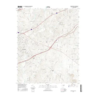 2016 Lexington East2016 Print · USGSLexington and its surrounding Piedmont communities are captured here in the mid-2010s, showing a landscape of growing residential networks and established rural centers. Genealogists and historians can trace long-standing landmarks like Pilgrim Cem, Sandy Grove Ch, and the winding path of Abbotts Cr.
 - 2016 Map of Lexington West, 2016 Print
 2016 Lexington West2016 Print · USGSDavidson County in the mid-2010s shows a landscape where the industrial heritage of Erlanger meets modern aviation and highway growth. Researchers can trace family roots through several local burial grounds, including Forest Lawn Cem and Bethel Cem, while mapping the development of LEXINGTON.
 - 2019 Map of Lexington East, 2019 Print
 2019 Lexington East2019 Print · USGSDavidson County’s landscape near the end of the second decade of the millennium shows the expansion between Lexington and Welcome. Genealogists and local historians can trace rural roots at Pilgrim Cem, Becks Cem, and landmarks like Three Hat Mtn.
 - 2019 Map of Lexington West, 2019 Print
 2019 Lexington West2019 Print · USGSDavidson County shows its modern growth and deep rural roots in the years before the 2020s. Researchers can locate family sites at Wesleys Cem or New Jersey Cem and trace the evolution of communities like Reeds Crossroads and Erlanger.
 - 2022 Map of Lexington East, 2022 Print
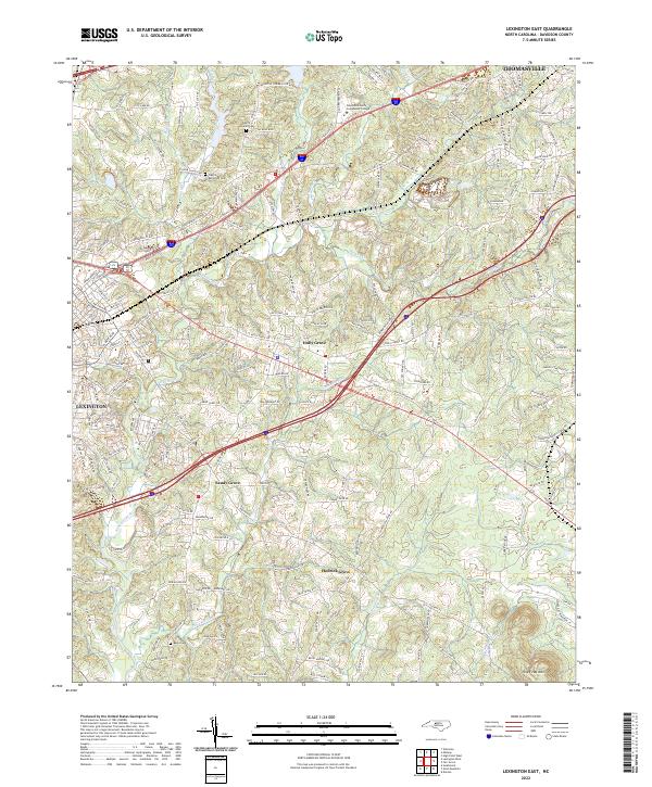 2022 Lexington East2022 Print · USGSThe suburbs of Davidson County meet the rolling Piedmont countryside in the early 2020s. Genealogists can trace family names and burial sites at Pilgrim Reformed Cem and Becks Cem, or explore the rural surroundings of Holly Grove and Sandy Grove.
 - 2023 Map of Lexington West, 2023 Print
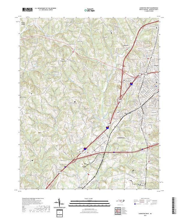 2023 Lexington West2023 Print · USGSThe western edges of Lexington and its surrounding rural communities are mapped here in modern detail. Genealogists can trace family heritage through sites like the Owen Family Cem, Wesleys Cem, and the historic Yadkin College area.
End of results
Showing maps 1-21 of 21
Top cities near Lexington
- Winston-Salem historical maps
- High Point historical maps
- Salisbury historical maps
- Thomasville historical maps
- Clemmons historical maps
- Trinity historical maps
See more
Top neighborhoods of Lexington
- South Cecil historical maps
- Jefferson Village historical maps
- Woodcrest historical maps
- Royal Park historical maps
- Georgetown Condominiums historical maps
- Glenwood historical maps
See more
Frequently asked questions
- What are the different types of historical maps available for Lexington?
- What is the oldest map of Lexington?
- Where can I purchase historical maps of Lexington for my home or office?
- Where can I download high-res historical maps of Lexington?
- Are there historical topographic maps available for Lexington?
- Is there historical aerial imagery available for Lexington?
- Where are historical maps of Lexington sourced from?