2000s (21st Century) Maps of Wallburg, North Carolina
Explore 21 historic maps of Wallburg from the 2000s (21st Century). These maps offer a rare glimpse into what life looked like during the 2000s — showing old roads, neighborhoods, homes, and landmarks that have changed or disappeared over time.
Whether you're researching your family's past, planning a metal detecting trip, or studying how Wallburg's landscape evolved across the 2000s, these high-resolution maps are a powerful tool for exploring the history of this region.
- Focus on a specific era: All maps on this page are from the 2000s, giving you a focused view of this time period.
- See what’s changed: Compare century-old streets, trails, and buildings to today's modern landscape using overlays and satellite layers.
- Research with precision: Use these maps for genealogy, historical research, land use analysis, or educational projects.
- View, download, or print: Maps are fully viewable online in high resolution, and can be downloaded or printed for your own records.
Start exploring Wallburg's history through authentic maps from the 2000s. This is your window into the past.
Wallburg, NC maps
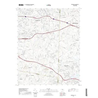
(21)- 2000 Map of Midway, 2003 Print
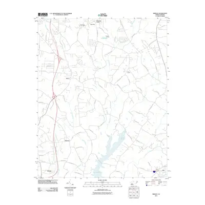
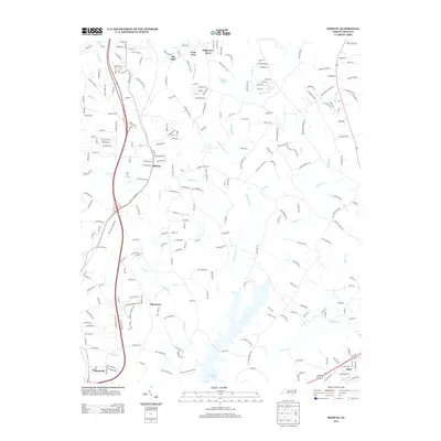
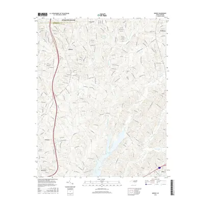
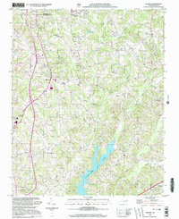 2000 Midway2003 Print · USGSMidway and the surrounding Davidson County countryside are captured at the turn of the millennium as modern water projects changed the landscape. Genealogists and local historians can trace family roots through Hebron Ch Cem, Bethlehem Ch, and the communities of Gum Tree and Pilot.
 - 2010 Map of High Point West, 2010 Print
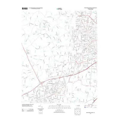
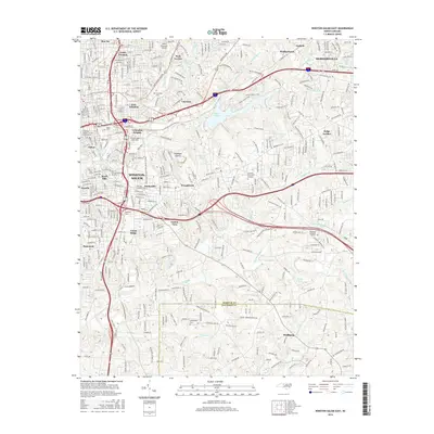
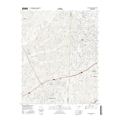
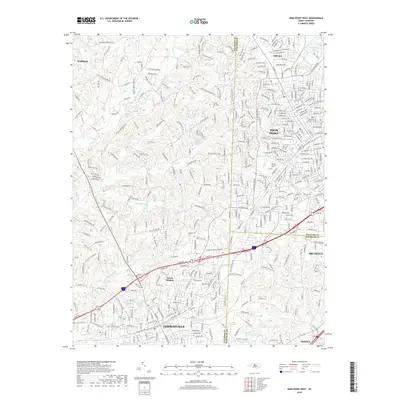
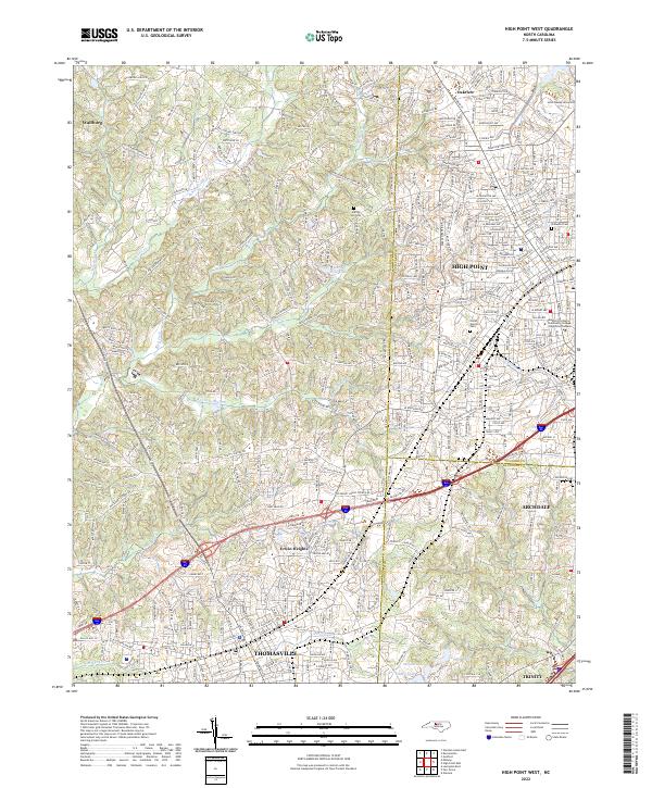
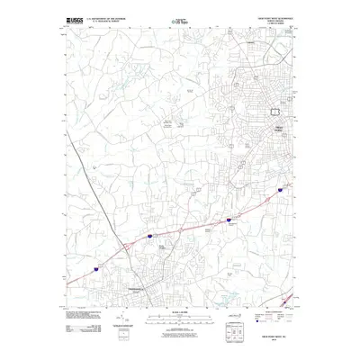 2010 High Point West2010 Print · USGSCovers Wallburg, including High Point, Thomasville, and other nearby areas
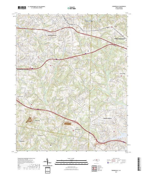
 - 2010 Map of Kernersville, 2010 Print
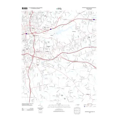
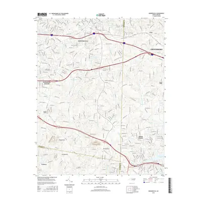
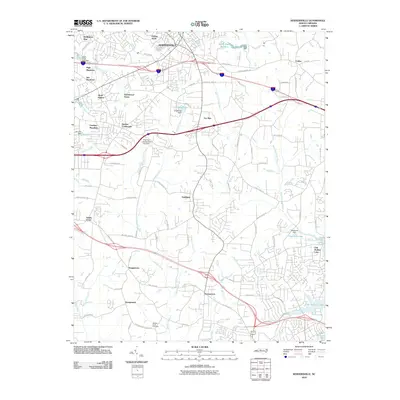 2010 Kernersville2010 Print · USGSCovers Wallburg, including Greensboro, Winston-Salem, and other nearby areas
 - 2010 Map of Winston-Salem East, 2010 Print
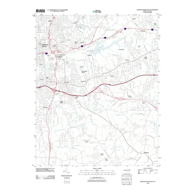 2010 Winston-Salem East2010 Print · USGSCovers Wallburg, including Winston-Salem, Kernersville, and other nearby areas
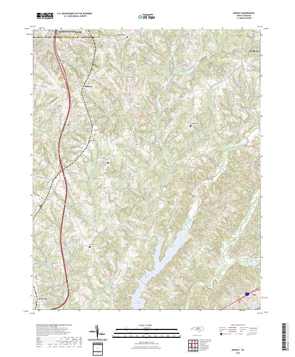
 - 2011 Map of Midway, 2011 Print
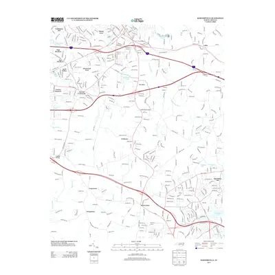
 2011 Midway2011 Print · USGSCovers Wallburg, including Winston-Salem, Thomasville, and other nearby areas
 - 2013 Map of Winston-Salem East, 2013 Print
 2013 Winston-Salem East2013 Print · USGSCovers Wallburg, including Winston-Salem, Kernersville, and other nearby areas
 - 2013 Map of Kernersville, 2013 Print
 2013 Kernersville2013 Print · USGSCovers Wallburg, including Greensboro, Winston-Salem, and other nearby areas
 - 2013 Map of High Point West, 2013 Print
 2013 High Point West2013 Print · USGSCovers Wallburg, including High Point, Thomasville, and other nearby areas
 - 2013 Map of Midway, 2013 Print
 2013 Midway2013 Print · USGSCovers Wallburg, including Winston-Salem, Thomasville, and other nearby areas
 - 2016 Map of Winston-Salem East, 2016 Print
 2016 Winston-Salem East2016 Print · USGSCovers Wallburg, including Winston-Salem, Kernersville, and other nearby areas
 - 2016 Map of Kernersville, 2016 Print
 2016 Kernersville2016 Print · USGSCovers Wallburg, including Greensboro, Winston-Salem, and other nearby areas
 - 2016 Map of High Point West, 2016 Print
 2016 High Point West2016 Print · USGSCovers Wallburg, including High Point, Thomasville, and other nearby areas
 - 2016 Map of Midway, 2016 Print
 2016 Midway2016 Print · USGSCovers Wallburg, including Winston-Salem, Thomasville, and other nearby areas
 - 2019 Map of High Point West, 2019 Print
 2019 High Point West2019 Print · USGSCovers Wallburg, including High Point, Thomasville, and other nearby areas
 - 2019 Map of Midway, 2019 Print
 2019 Midway2019 Print · USGSCovers Wallburg, including Winston-Salem, Thomasville, and other nearby areas
 - 2019 Map of Winston-Salem East, 2019 Print
 2019 Winston-Salem East2019 Print · USGSCovers Wallburg, including Winston-Salem, Kernersville, and other nearby areas
 - 2019 Map of Kernersville, 2019 Print
 2019 Kernersville2019 Print · USGSCovers Wallburg, including Greensboro, Winston-Salem, and other nearby areas
 - 2022 Map of Midway, 2022 Print
 2022 Midway2022 Print · USGSDavidson County at the dawn of the 2020s shows the continued growth of communities like Midway and Wallburg. Researchers can locate family sites near Midway Baptist Church Cem or trace the waters of Abbotts Creek and Lake Tom-A-Lex.
 - 2022 Map of High Point West, 2022 Print
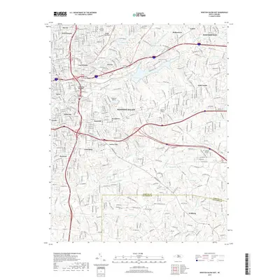
 2022 High Point West2022 Print · USGSThe Piedmont tri-county corner comes alive in this survey of the urban corridor between Thomasville and High Point. Researchers can trace the development of Thomasville and Archdale or locate family plots in Oakwood Cem and Floral Garden Cem.
 - 2022 Map of Kernersville, 2022 Print
 2022 Kernersville2022 Print · USGSThe North Carolina Piedmont is captured here in its modern form, where the growing communities of Kernersville and High Point meet. Genealogists and local researchers can trace established landmarks like Abbotts Creek Cem and the small settlements of Horneytown and Teaguetown.
 - 2022 Map of Winston-Salem East, 2022 Print
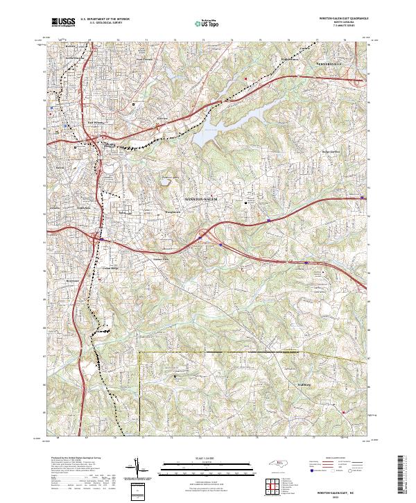 2022 Winston-Salem East2022 Print · USGSThe eastern reaches of Winston-Salem and Kernersville come to life in this detailed study of North Carolina’s Piedmont at the dawn of the 2020s. Genealogists and historians can trace institutional roots at Salem College or locate family sites near Evergreen Cem and Wallburg.
End of results
Showing maps 1-21 of 21
Top cities near Wallburg
- Greensboro historical maps
- Winston-Salem historical maps
- High Point historical maps
- Thomasville historical maps
- Asheboro historical maps
- Kernersville historical maps
See more
Frequently asked questions
- What are the different types of historical maps available for Wallburg?
- What is the oldest map of Wallburg?
- Where can I purchase historical maps of Wallburg for my home or office?
- Where can I download high-res historical maps of Wallburg?
- Are there historical topographic maps available for Wallburg?
- Is there historical aerial imagery available for Wallburg?
- Where are historical maps of Wallburg sourced from?