Old Maps of Resaca, North Carolina for Hiking & Exploration
Hike through history with 10 historic maps of Resaca. Explore old trails, ghost towns, and forgotten backroads — perfect for outdoor adventurers and local explorers.
- Rediscover forgotten places: Map out old mining camps, roads, and footpaths that no longer exist on modern maps.
- Layer with modern tools: Combine with LiDAR or satellite views to plan hikes through historical terrain.
- Made for exploration: Popular among hikers, overlanders, and local history lovers.
Use these maps to find adventure and explore the hidden past of Resaca.
Resaca, NC maps
(10)- 1953 Map of Rocky Mount, 1964 Print
 1953 Rocky Mount1964 Print · USGSEastern North Carolina in the mid-fifties is defined by its deep river basins and the vast wetlands of the Tidewater. Genealogists can trace family roots through hubs like Kinston and New Bern or explore the wilderness of Pettigrew State Park and Lake Mattamuskeet.4 unique versions available
 - 1954 Map of Rocky Mount
 1954 Rocky Mount1954 Print · USGSEastern North Carolina is mapped in the mid-fifties, showing a landscape of sounds, swamps, and steam-era rail lines. Genealogists can trace the rural road networks and rail spurs connecting towns like Tarboro, Greenville, and the remote Columbia.
 - 1957 Map of Seven Springs, 1959 Print
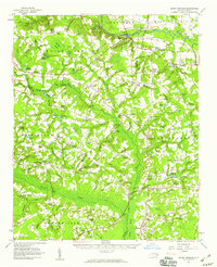 1957 Seven Springs1959 Print · USGSEastern North Carolina was a patchwork of crossroads communities and swampy river bottoms in the late fifties. Genealogists can locate family-named landmarks like Williams Millpond, trace rural congregations at Indian Springs, and find old centers like Scotts Store.
 - 1980 Map of Albertson, 1981 Print
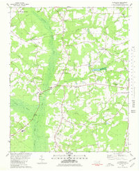 1980 Albertson1981 Print · USGSCoastal plain wetlands and rural settlements define the Duplin County landscape in the early eighties. Genealogists and local historians can trace family roots through numerous small communities like Albertson and Kornegay, alongside several community landmarks such as Grady High Sch and Piney Grove Ch.
 - 1985 Map of Kinston
 1985 Kinston1985 Print · USGSCoastal plain life and Cold War infrastructure meet in the mid-eighties as the Neuse River winds through agricultural heartlands. Researchers can locate family landmarks like Falling Creek Cem, old milling sites such as Tulls Mill, and the massive Voice of America Radio Towers.2 unique versions available
 - 2010 Map of Albertson, 2010 Print
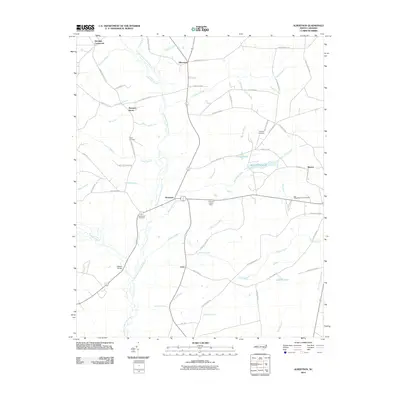 2010 Albertson2010 Print · USGSCovers Resaca, including Albertson, Pleasant Grove, and other nearby areas
 - 2013 Map of Albertson, 2013 Print
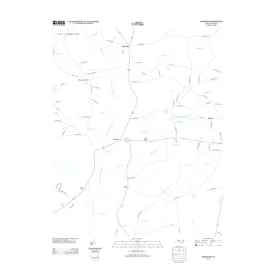 2013 Albertson2013 Print · USGSCovers Resaca, including Albertson, Pleasant Grove, and other nearby areas
 - 2016 Map of Albertson, 2016 Print
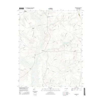 2016 Albertson2016 Print · USGSCovers Resaca, including Albertson, Pleasant Grove, and other nearby areas
 - 2019 Map of Albertson, 2019 Print
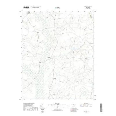 2019 Albertson2019 Print · USGSCovers Resaca, including Albertson, Pleasant Grove, and other nearby areas
 - 2022 Map of Albertson, 2022 Print
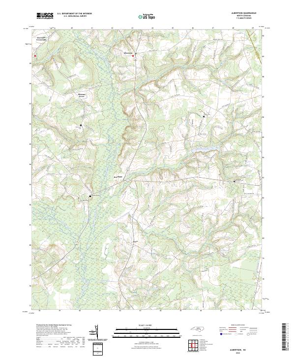 2022 Albertson2022 Print · USGSCoastal plain settlements in Duplin and Lenoir counties appear here in the early twenty-first century. Researchers can locate family landmarks like Will Taylor Cem and Gradys Cem or trace the winding course of the Northeast Cape Fear River.
End of results
Showing maps 1-10 of 10
Top cities near Resaca
- Kinston historical maps
- La Grange historical maps
- Richlands historical maps
- Beulaville historical maps
- Kenansville historical maps
- Walnut Creek historical maps
See more
Frequently asked questions
- What are the different types of historical maps available for Resaca?
- What is the oldest map of Resaca?
- Where can I purchase historical maps of Resaca for my home or office?
- Where can I download high-res historical maps of Resaca?
- Are there historical topographic maps available for Resaca?
- Is there historical aerial imagery available for Resaca?
- Where are historical maps of Resaca sourced from?