Old Maps of Summerlins Crossroads, North Carolina for Genealogy
Trace your family roots with 10 historic maps of Summerlins Crossroads. These high-res maps reveal old neighborhoods, homesites, landmarks, and streets — helping you uncover where your ancestors lived and how the area evolved over time.
- Explore historic neighborhoods: Identify where your relatives may have lived in the 1800s or 1900s.
- Compare maps over time: Trace the changes in streets, buildings, and landmarks for multi-generational research.
- Perfect for genealogy & ancestry research: Used by family historians and researchers to map out lineage and migration.
These maps are an incredible resource for exploring your personal connection to Summerlins Crossroads's past.
Summerlins Crossroads, NC maps
(10)- 1953 Map of Rocky Mount, 1964 Print
 1953 Rocky Mount1964 Print · USGSEastern North Carolina in the mid-fifties is defined by its deep river basins and the vast wetlands of the Tidewater. Genealogists can trace family roots through hubs like Kinston and New Bern or explore the wilderness of Pettigrew State Park and Lake Mattamuskeet.4 unique versions available
 - 1954 Map of Rocky Mount
 1954 Rocky Mount1954 Print · USGSEastern North Carolina is mapped in the mid-fifties, showing a landscape of sounds, swamps, and steam-era rail lines. Genealogists can trace the rural road networks and rail spurs connecting towns like Tarboro, Greenville, and the remote Columbia.
 - 1957 Map of Seven Springs, 1959 Print
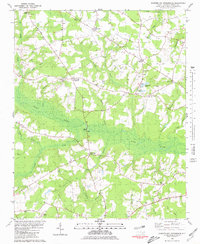
 1957 Seven Springs1959 Print · USGSEastern North Carolina was a patchwork of crossroads communities and swampy river bottoms in the late fifties. Genealogists can locate family-named landmarks like Williams Millpond, trace rural congregations at Indian Springs, and find old centers like Scotts Store.
 - 1980 Map of Summerlins Crossroads
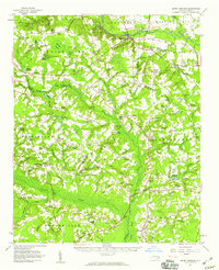
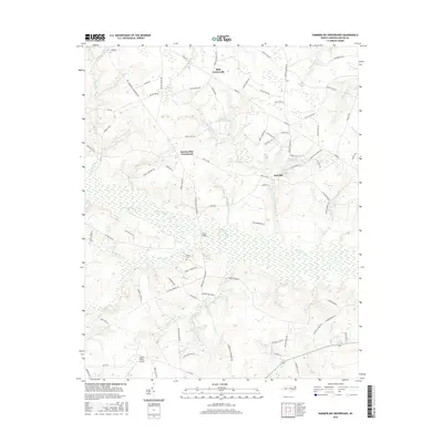
 1980 Summerlins Crossroads1980 Print · USGSDuplin County rural life is preserved here in the era just before the 1980s, centered on the wetlands of Goshen Swamp. Genealogists can trace family landmarks at Summerlins Crossroads, Scotts Store, and the Alum Springs Cem.
 - 1985 Map of Kinston
 1985 Kinston1985 Print · USGSCoastal plain life and Cold War infrastructure meet in the mid-eighties as the Neuse River winds through agricultural heartlands. Researchers can locate family landmarks like Falling Creek Cem, old milling sites such as Tulls Mill, and the massive Voice of America Radio Towers.2 unique versions available
 - 2010 Map of Summerlins Crossroads, 2010 Print
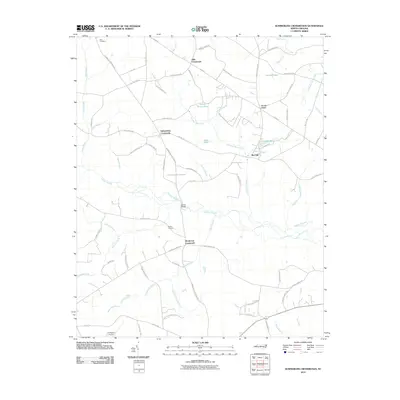 2010 Summerlins Crossroads2010 Print · USGSCovers Summerlins Crossroads, including Scotts Store, Red Hill, and other nearby areas
 - 2013 Map of Summerlins Crossroads, 2013 Print
 2013 Summerlins Crossroads2013 Print · USGSCovers Summerlins Crossroads, including Scotts Store, Red Hill, and other nearby areas
 - 2016 Map of Summerlins Crossroads, 2016 Print
 2016 Summerlins Crossroads2016 Print · USGSCovers Summerlins Crossroads, including Scotts Store, Red Hill, and other nearby areas
 - 2019 Map of Summerlins Crossroads, 2019 Print
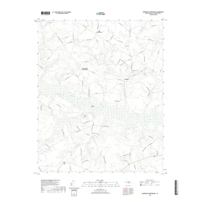 2019 Summerlins Crossroads2019 Print · USGSCovers Summerlins Crossroads, including Scotts Store, Red Hill, and other nearby areas
 - 2022 Map of Summerlins Crossroads, 2022 Print
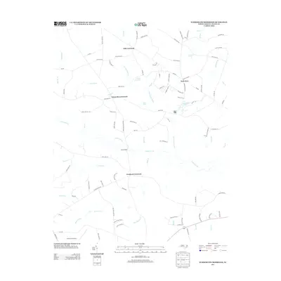
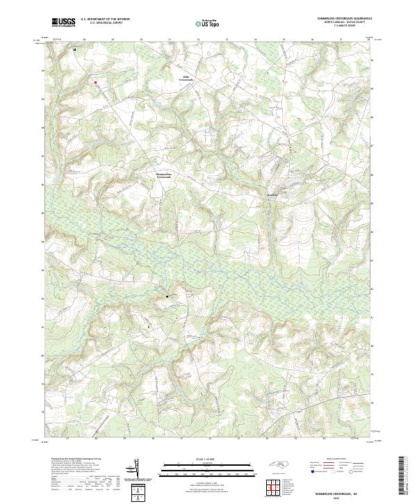 2022 Summerlins Crossroads2022 Print · USGSDuplin County, North Carolina, maintains its rural crossroads character in this contemporary survey of its marshlands and family settlements. Genealogists can locate family landmarks like Pate Cem and Smith Cem alongside the intricate waterways of Goshen Swamp.
End of results
Showing maps 1-10 of 10
Top cities near Summerlins Crossroads
- Mount Olive historical maps
- Warsaw historical maps
- La Grange historical maps
- Beulaville historical maps
- Magnolia historical maps
- Kenansville historical maps
See more
Frequently asked questions
- What are the different types of historical maps available for Summerlins Crossroads?
- What is the oldest map of Summerlins Crossroads?
- Where can I purchase historical maps of Summerlins Crossroads for my home or office?
- Where can I download high-res historical maps of Summerlins Crossroads?
- Are there historical topographic maps available for Summerlins Crossroads?
- Is there historical aerial imagery available for Summerlins Crossroads?
- Where are historical maps of Summerlins Crossroads sourced from?