Old Maps of Mount Holly, North Carolina for Hiking & Exploration
Hike through history with 27 historic maps of Mount Holly. Explore old trails, ghost towns, and forgotten backroads — perfect for outdoor adventurers and local explorers.
- Rediscover forgotten places: Map out old mining camps, roads, and footpaths that no longer exist on modern maps.
- Layer with modern tools: Combine with LiDAR or satellite views to plan hikes through historical terrain.
- Made for exploration: Popular among hikers, overlanders, and local history lovers.
Use these maps to find adventure and explore the hidden past of Mount Holly.
Mount Holly, NC maps
(27)- 1914 Map of Gastonia
 1914 Gastonia1914 Print · USGSGaston and Lincoln counties are captured here just before the First World War, when the textile industry and rail lines shaped every community. Researchers can locate long-standing landmarks like Loray Mills, Belmont Abby, and the old County House near Dallas.2 unique versions available
 - 1916 Map of Gastonia
 1916 Gastonia1916 Print · USGSGaston and Lincoln counties are captured here just as the textile industry was transforming the Piedmont landscape. Trace the rail-and-river economy through landmarks like the Loray Mill, the Rehoboth Furnace, and the early village of McAdenville.2 unique versions available
 - 1941 Map of Charlotte
 1941 Charlotte1941 Print · USGSMecklenburg and its surrounding counties are captured here at a pivotal moment in the early 1940s. Genealogists and local historians can trace the rail-driven growth of Charlotte or locate smaller rural landmarks like Alexanders Store, Wesley Chapel, and the community at Stallings.
 - 1942 Map of Charlotte
 1942 Charlotte1942 Print · USGSCharlotte and its surrounding Piedmont communities are captured here during the early years of the Second World War. Researchers can trace the rail corridors of the Southern and Seaboard Air Line or locate family-named sites like Alexanders Store, Hoods Cross Road, and Wesley Chapel.2 unique versions available
 - 1948 Map of Paw Creek, 1952 Print
 1948 Paw Creek1952 Print · USGSThe rural outskirts of Charlotte and the Catawba River shoreline are captured here just after the war. Local historians can trace the foundations of communities like Shuffletown and Toddville, or locate landmarks such as Hopewell Ch and the Paw Creek High Sch.
 - 1953 Map of Charlotte, 1968 Print
 1953 Charlotte1968 Print · USGSThe North Carolina Piedmont and South Carolina borderlands are shown in detail during a period of significant growth and reservoir development. Trace the rail corridors of the Southern Railway or find family roots in towns like China Grove, Misenheimer, and Lincolnton.3 unique versions available
 - 1954 Map of Charlotte
 1954 Charlotte1954 Print · USGSThe North Carolina Piedmont in the mid-1950s shows a region of rapid growth and industrial expansion centered around Charlotte. Trace the era's infrastructure through the Southern railroad lines and locate significant landmarks like the Charlotte Naval Ammunition Depot and Lake Norman.2 unique versions available
 - 1960 Map of Charlotte
 1960 Charlotte1960 Print · USGSMid-century North Carolina and South Carolina meet in this 1960 survey of the Piedmont's industrial and textile heartland. Trace the growth of Charlotte alongside historic landmarks like Kings Mountain National Military Park and the Charlotte Naval Ammunition Depot.2 unique versions available
 - 1962 Map of Charlotte
 1962 Charlotte1962 Print · USGSThe North Carolina Piedmont in the early sixties showcases a landscape transformed by massive reservoirs and industrial growth. Researchers can trace the development of Lake Norman, locate the Charlotte Naval Ammunition Depot, or find family landmarks like Wesley Chapel and Brown & Norcott Mills.
 - 1969 Map of Mountain Island Lake, 1973 Print
 1969 Mountain Island Lake1973 Print · USGSMecklenburg County enters a period of rapid development in the late sixties as industrial infrastructure and suburban growth meet the shores of the Catawba. Genealogists can locate family landmarks such as Jennie Chapel, McGee Cemetery, and the historic Duke Power Village.2 unique versions available
 - 1970 Map of Mount Holly, 1972 Print
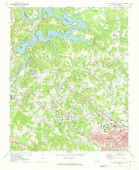
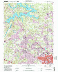
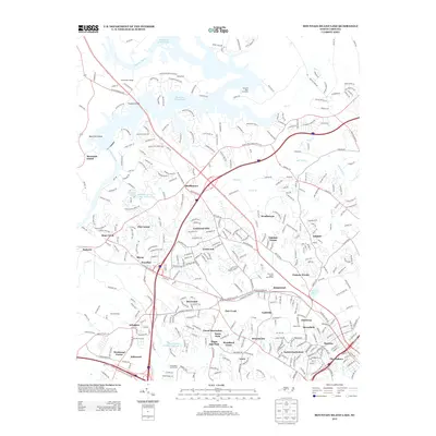
 1970 Mount Holly1972 Print · USGSGaston County’s textile and rail corridor thrives in the early seventies, centered on the Catawba River and the bustling hub of Mount Holly. Genealogists can trace family landmarks like Hillcrest Cem and Belmont Abbey College or follow the path of the Seaboard Coast Line.
 - 1985 Map of Charlotte, 1986 Print
 1985 Charlotte1986 Print · USGSThe Piedmont region in the mid-eighties shows the rapid growth of the Charlotte metro area alongside established textile and college towns. Trace local heritage at the Reed Gold Mine or explore the rail corridors of the Southern Railway and Winston-Salem Southbound Railway.2 unique versions available
 - 1986 Map of Gastonia
 1986 Gastonia1986 Print · USGSThe Carolina Piedmont in the mid-eighties shows a landscape shaped by Revolutionary War history and the textile industry. Trace the footprints of early battles at Kings Mountain National Military Park and locate depots along the Southern Railway in Shelby and Gastonia.
 - 1991 Map of Gastonia
 1991 Gastonia1991 Print · USGSThe Piedmont region along the North Carolina and South Carolina border shows a bustling industrial and transit corridor in the early nineties. Researchers can trace the sprawling footprints of Gastonia and Shelby or explore the grounds of Kings Mountain National Military Park and Lake Wylie.
 - 1993 Map of Mount Holly, 1996 Print
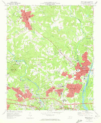
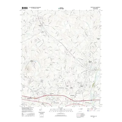
 1993 Mount Holly1996 Print · USGSGaston County communities thrived along the river forks during the mid-nineties as suburban growth met long-standing textile and academic centers. Researchers can trace family roots at Mauney Cem, explore the campus of Belmont Abbey College, or locate the mills and works of McAdenville.
 - 1993 Map of Mountain Island Lake, 1996 Print
 1993 Mountain Island Lake1996 Print · USGSMecklenburg County enters a period of significant growth in the 1990s as the suburbs of Charlotte reach toward the Catawba River. Researchers can trace rural roots at Shuffletown or find family history at Forest Lawn Cemetery and Riverbend Ch.
 - 1997 Map of Mountain Island Lake, 1999 Print
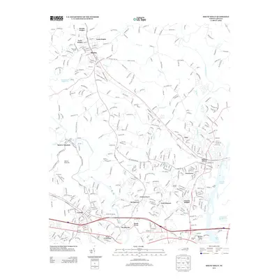
 1997 Mountain Island Lake1999 Print · USGSThe Catawba River northwest of Charlotte appears here in the late nineties as a landscape defined by utility reservoirs and suburban growth. Researchers can trace family roots through numerous rural landmarks like Hopewell Ch, Riverbend Cem, and the old settlement of Shuffletown.
 - 2010 Map of Mountain Island Lake, 2010 Print
 2010 Mountain Island Lake2010 Print · USGSCovers Mount Holly, including Charlotte, Huntersville, and other nearby areas
 - 2010 Map of Mount Holly, 2010 Print
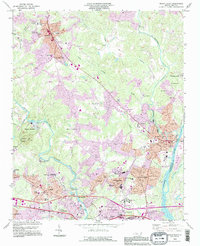
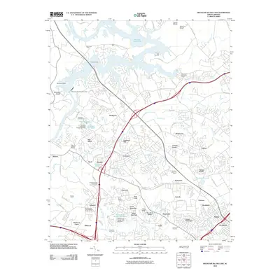
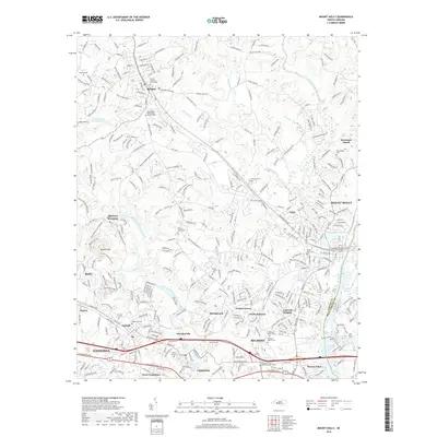
 2010 Mount Holly2010 Print · USGSCovers Mount Holly, including Charlotte, Gastonia, and other nearby areas
 - 2013 Map of Mount Holly, 2013 Print
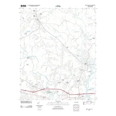
 2013 Mount Holly2013 Print · USGSCovers Mount Holly, including Charlotte, Gastonia, and other nearby areas
 - 2013 Map of Mountain Island Lake, 2013 Print
 2013 Mountain Island Lake2013 Print · USGSCovers Mount Holly, including Charlotte, Huntersville, and other nearby areas
 - 2016 Map of Mount Holly, 2016 Print
 2016 Mount Holly2016 Print · USGSCovers Mount Holly, including Charlotte, Gastonia, and other nearby areas
 - 2016 Map of Mountain Island Lake, 2016 Print
 2016 Mountain Island Lake2016 Print · USGSCovers Mount Holly, including Charlotte, Huntersville, and other nearby areas
 - 2019 Map of Mountain Island Lake, 2019 Print
 2019 Mountain Island Lake2019 Print · USGSCovers Mount Holly, including Charlotte, Huntersville, and other nearby areas
 - 2019 Map of Mount Holly, 2019 Print
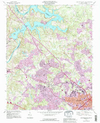
 2019 Mount Holly2019 Print · USGSCovers Mount Holly, including Charlotte, Gastonia, and other nearby areas
Showing maps 1-25 of 27
Top cities near Mount Holly
- Charlotte historical maps
- Gastonia historical maps
- Huntersville historical maps
- Mooresville historical maps
- Cornelius historical maps
- Davidson historical maps
See more
Top neighborhoods of Mount Holly
- Nims historical maps
- Catawba Heights historical maps
- Hutchinson historical maps
- Downtown historical maps
- Dutchman's Meadow historical maps
- Kendrick Farm historical maps
See more
Frequently asked questions
- What are the different types of historical maps available for Mount Holly?
- What is the oldest map of Mount Holly?
- Where can I purchase historical maps of Mount Holly for my home or office?
- Where can I download high-res historical maps of Mount Holly?
- Are there historical topographic maps available for Mount Holly?
- Is there historical aerial imagery available for Mount Holly?
- Where are historical maps of Mount Holly sourced from?