Old Maps of Parkers Fork, North Carolina for Academic Research
Study the evolution of Parkers Fork with 11 high-resolution historic maps. Whether you're teaching, researching, or modeling changes in land use, these maps provide essential visual documentation of urban, environmental, and geographic change.
- Analyze long-term change: Track patterns in development, transportation, and natural features.
- Ideal for environmental or urban studies: Support academic projects with primary historical map data.
- Use in the classroom or lab: Educators and researchers rely on these maps to bring historical context to life.
These maps are a powerful tool for teaching, research, and visualizing how Parkers Fork has changed over the decades.
Parkers Fork, NC maps
(11)- 1919 Map of Suffolk
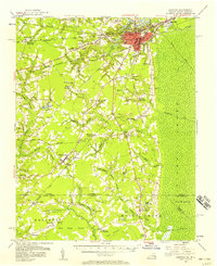
 1919 Suffolk1919 Print · USGSCoastal Virginia and the North Carolina borderlands are defined by the convergence of six major railroads at Suffolk during the late teens. Genealogists can trace family landmarks like Pauls Branch Church and the Franklin Grove School along the edge of the Dismal Swamp.3 unique versions available
 - 1953 Map of Norfolk, 1954 Print
 1953 Norfolk1954 Print · USGSCoastal Virginia and northeastern North Carolina appear here during the post-war industrial boom, showing the critical rail-and-sea connections of Hampton Roads. Genealogists can trace family roots through rural landmarks like Gethsemane Ch, the Caledonia State Prison Farm, and the vast interior of the Dismal Swamp.4 unique versions available
 - 1954 Map of Corapeake, 1955 Print
 1954 Corapeake1955 Print · USGSThe Virginia and North Carolina borderlands in the mid-fifties are defined by the transition from rural settlements into the sprawling Dismal Swamp. Genealogists and local historians can trace family locations through Cypress Chapel, Corapeake, and small sites like Brickley Cem or Zion Tabernacle Ch.
 - 1954 Map of Suffolk, 1958 Print
 1954 Suffolk1958 Print · USGSThe rail and river hub of Suffolk met the edge of the Great Dismal Swamp in the mid-1950s. Historians and genealogists can trace the early layout of Whaleyville, the transit routes through Buckhorn, and local landmarks like Liberty Spring Ch.2 unique versions available
 - 1977 Map of Corapeake, 1978 Print
 1977 Corapeake1978 Print · USGSThe Virginia and North Carolina borderlands come into focus in the 1970s, where the vast wetlands meet rural farmsteads. Trace family history through Winslow Cem and Riddick Cem, or follow the rigid waterlines of Corapeake Ditch into the Great Dismal Swamp.2 unique versions available
 - 1985 Map of Norfolk, 1986 Print
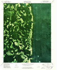
 1985 Norfolk1986 Print · USGSThe Tidewater region in the mid-eighties shows the dense urban expansion of the coastal cities alongside the preservation of the Great Dismal Swamp. Researchers can trace rural family-named crossroads and historic transit routes like the Seaboard Coast Line or find Somerton and Lake Drummond.3 unique versions available
 - 2011 Map of Corapeake, 2011 Print
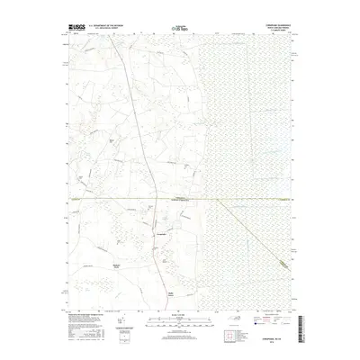
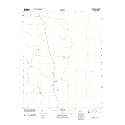 2011 Corapeake2011 Print · USGSCovers Parkers Fork, including Corapeake, Holly Grove, and other nearby areas
 - 2013 Map of Corapeake, 2013 Print
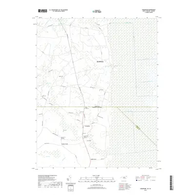
 2013 Corapeake2013 Print · USGSCovers Parkers Fork, including Corapeake, Holly Grove, and other nearby areas
 - 2016 Map of Corapeake, 2016 Print
 2016 Corapeake2016 Print · USGSCovers Parkers Fork, including Corapeake, Holly Grove, and other nearby areas
 - 2019 Map of Corapeake, 2019 Print
 2019 Corapeake2019 Print · USGSCovers Parkers Fork, including Corapeake, Holly Grove, and other nearby areas
 - 2022 Map of Corapeake, 2022 Print
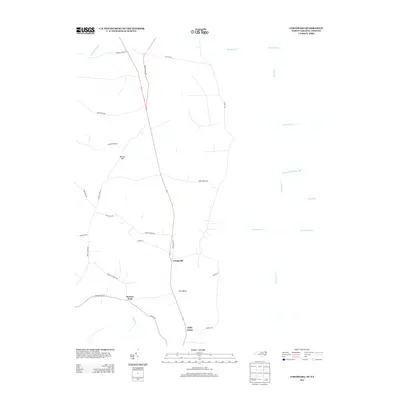
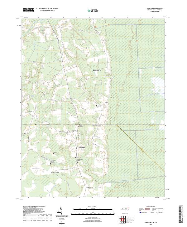 2022 Corapeake2022 Print · USGSThe borderlands of Virginia and North Carolina are captured here in a period of modern rural continuity, where the Great Dismal Swamp meets the communities of Corapeake and Parkers Fork. Researchers can trace family roots at Winslow Cem, Mathias Cem, and several historic country churches.
End of results
Showing maps 1-11 of 11
Top cities near Parkers Fork
- Suffolk historical maps
- Sunbury historical maps
- Gatesville historical maps
- Harrellsville historical maps
Frequently asked questions
- What are the different types of historical maps available for Parkers Fork?
- What is the oldest map of Parkers Fork?
- Where can I purchase historical maps of Parkers Fork for my home or office?
- Where can I download high-res historical maps of Parkers Fork?
- Are there historical topographic maps available for Parkers Fork?
- Is there historical aerial imagery available for Parkers Fork?
- Where are historical maps of Parkers Fork sourced from?