Old Maps of Topsy, North Carolina for Metal Detecting
Plan your next treasure hunt with 11 historic maps of Topsy. Find old homesites, ghost towns, trails, and gathering spots that may be lost to time — perfect for identifying promising metal detecting locations.
- Locate forgotten sites: Uncover places like long-lost settlements, abandoned rail lines, or gathering spots.
- Plan better hunts: Use map overlays combined with LiDAR or satellite views to narrow in on historically rich areas.
- Made for detectorists: Thousands of hobbyists use these maps to discover relics, coins, and hidden history.
Use these historic maps to boost your research and find new opportunities beneath the surface of Topsy.
Topsy, NC maps
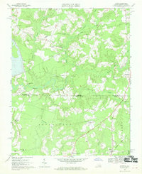
(11)- 1920 Map of Holland
 1920 Holland1920 Print · USGSCoastal plain life at the end of the Great War centers on the river-and-rail hubs of Franklin and Holland. Genealogists can trace family footprints across dozens of country schools like Holmes School and river crossings such as Joyners Bridge and Manning Ferry.2 unique versions available
 - 1943 Map of Holland
 1943 Holland1943 Print · USGSThe Virginia and North Carolina borderlands come alive in this mid-century survey of the Chowan River basin. Local historians can trace a network of river landings and rural schools, from Manning Ferry to the community around Stony Branch Church.
 - 1953 Map of Norfolk, 1954 Print
 1953 Norfolk1954 Print · USGSCoastal Virginia and northeastern North Carolina appear here during the post-war industrial boom, showing the critical rail-and-sea connections of Hampton Roads. Genealogists can trace family roots through rural landmarks like Gethsemane Ch, the Caledonia State Prison Farm, and the vast interior of the Dismal Swamp.4 unique versions available
 - 1957 Map of Holland, 1958 Print
 1957 Holland1958 Print · USGSThe Virginia and North Carolina borderlands come into focus in the mid-fifties, centered on the river city of Franklin and the agricultural community of Holland. Researchers can trace early river crossings like Manning Ferry (Site) and find family roots at Oberry Sch Cem or St Matthews Ch.
 - 1967 Map of Gates, 1970 Print
 1967 Gates1970 Print · USGSThe Virginia and North Carolina borderlands come into focus during the late sixties, showcasing a landscape of dispersed hamlets and dense cypress swamps. Trace family roots and local history through community landmarks like Pittmantown, Olive Branch Ch, and the rail junction at Gates.2 unique versions available
 - 1985 Map of Norfolk, 1986 Print
 1985 Norfolk1986 Print · USGSThe Tidewater region in the mid-eighties shows the dense urban expansion of the coastal cities alongside the preservation of the Great Dismal Swamp. Researchers can trace rural family-named crossroads and historic transit routes like the Seaboard Coast Line or find Somerton and Lake Drummond.3 unique versions available
 - 2010 Map of Gates, 2010 Print
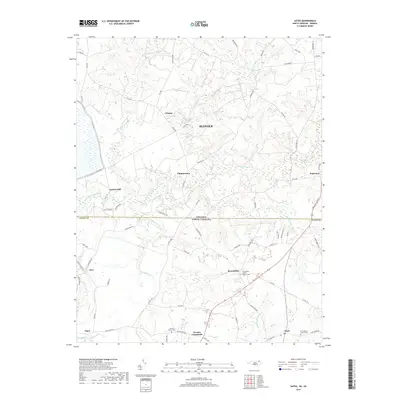
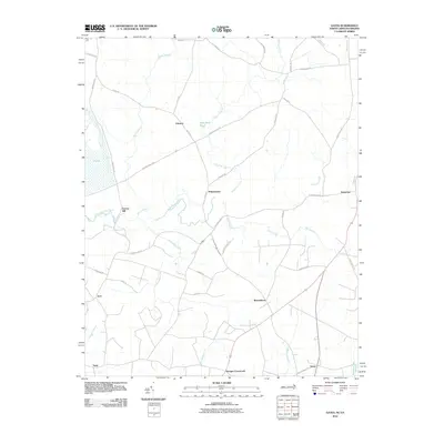 2010 Gates2010 Print · USGSCovers Topsy, including Reynoldson, Somerton, and other nearby areas
 - 2013 Map of Gates, 2013 Print
 2013 Gates2013 Print · USGSCovers Topsy, including Reynoldson, Somerton, and other nearby areas
 - 2016 Map of Gates, 2016 Print
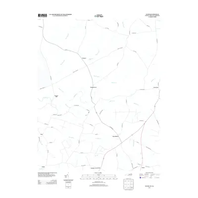
 2016 Gates2016 Print · USGSCovers Topsy, including Reynoldson, Somerton, and other nearby areas
 - 2019 Map of Gates, 2019 Print
 2019 Gates2019 Print · USGSCovers Topsy, including Reynoldson, Somerton, and other nearby areas
 - 2022 Map of Gates, 2022 Print
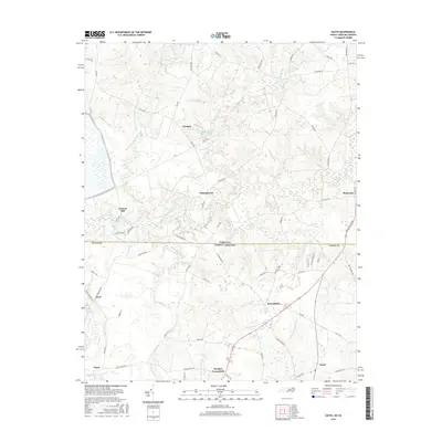
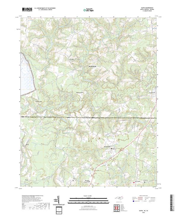 2022 Gates2022 Print · USGSThe Virginia-North Carolina border country comes alive in this 2022 survey of the swamplands and hamlets. Trace family history at Gatling Family Cem or explore crossroads like Pittmantown and Savages Crossroads.
End of results
Showing maps 1-11 of 11
Top cities near Topsy
- Franklin historical maps
- Ahoskie historical maps
- Murfreesboro historical maps
- Courtland historical maps
- Winton historical maps
- Camptown historical maps
See more
Frequently asked questions
- What are the different types of historical maps available for Topsy?
- What is the oldest map of Topsy?
- Where can I purchase historical maps of Topsy for my home or office?
- Where can I download high-res historical maps of Topsy?
- Are there historical topographic maps available for Topsy?
- Is there historical aerial imagery available for Topsy?
- Where are historical maps of Topsy sourced from?