Old Maps of Greene County, North Carolina for Genealogy
Trace your family roots with 79 historic maps of Greene County. These high-res maps reveal old neighborhoods, homesites, landmarks, and streets — helping you uncover where your ancestors lived and how the area evolved over time.
- Explore historic neighborhoods: Identify where your relatives may have lived in the 1800s or 1900s.
- Compare maps over time: Trace the changes in streets, buildings, and landmarks for multi-generational research.
- Perfect for genealogy & ancestry research: Used by family historians and researchers to map out lineage and migration.
These maps are an incredible resource for exploring your personal connection to Greene County's past.
Greene County, NC maps
(79)- 1902 Map of Ayden, 1962 Print
 1902 Ayden1962 Print · USGSCoastal plains and swampy bottomlands at the turn of the century reveal a landscape reliant on river transport and early rail. Genealogists can trace family-named river landings like Biddle Ldg. and Pearce Ldg. or follow the Atlantic Coast Line through Ayden.2 unique versions available
 - 1904 Map of Ayden
 1904 Ayden1904 Print · USGSCoastal plain life at the dawn of the twentieth century revolved around the river bends and newly laid tracks of the Atlantic Coast Line. Researchers can trace ancestral landings like Village Ldg. and Pearce Ldg. or locate vanished sites like Honolulu and Redalia.4 unique versions available
 - 1904 Map of Falkland, 1936 Print
 1904 Falkland1936 Print · USGSCoastal plain life at the turn of the century centered on river landings and swamp-side settlements across Pitt and Greene counties. Genealogists and historians can trace family roots at Fountain P.O., the mills at Harris Millpond, and river traffic at Dupree Ldg.3 unique versions available
 - 1904 Map of Wilson, 1942 Print
 1904 Wilson1942 Print · USGSCoastal plain settlements and tobacco-country rail lines emerge in this turn-of-the-century look at eastern North Carolina. Genealogists and historians can trace the early footprints of Wilson, Stantonsburg, and Eureka alongside the Atlantic Coast Line railroad.3 unique versions available
 - 1914 Map of Kinston
 1914 Kinston1914 Print · USGSBefore the onset of the First World War, the rural landscape of eastern North Carolina was a dense network of railroad sidings, country schools, and pocosin wetlands. Genealogists can trace family landmarks and forgotten settlements like Hookerton, Suggs Siding, and Saints Delight Church.3 unique versions available
 - 1916 Map of Kinston
 1916 Kinston1916 Print · USGSThe Neuse River and Contentnea Creek basins are shown here during the mid-1910s, capturing the transition of eastern North Carolina's rural landscape. Genealogists can locate family landmarks like Suggs School, Beulah Church, and Mewborns Crossroads.3 unique versions available
 - 1953 Map of Rocky Mount, 1964 Print
 1953 Rocky Mount1964 Print · USGSEastern North Carolina in the mid-fifties is defined by its deep river basins and the vast wetlands of the Tidewater. Genealogists can trace family roots through hubs like Kinston and New Bern or explore the wilderness of Pettigrew State Park and Lake Mattamuskeet.4 unique versions available
 - 1954 Map of Rocky Mount
 1954 Rocky Mount1954 Print · USGSEastern North Carolina is mapped in the mid-fifties, showing a landscape of sounds, swamps, and steam-era rail lines. Genealogists can trace the rural road networks and rail spurs connecting towns like Tarboro, Greenville, and the remote Columbia.
 - 1957 Map of Goldsboro, 1958 Print
 1957 Goldsboro1958 Print · USGSGoldsboro and the surrounding tobacco and timber lands are captured here in the mid-fifties as the local rail network and military presence shaped Wayne County. Genealogists can locate family landmarks like Old Smoky Cem, Garris Chapel, and Mays Store across the rural landscape.2 unique versions available
 - 1978 Map of Stantonsburg
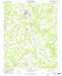 1978 Stantonsburg1978 Print · USGSStantonsburg and the rural crossroads of Wilson and Wayne counties are captured in the late 1970s before modern development. Genealogists and historians can trace family-named sites like Applewhite or visit community landmarks including St Lukes Ch and Union Grove Ch.
 - 1981 Map of Farmville
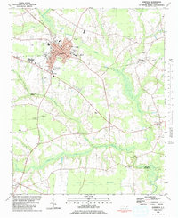 1981 Farmville1981 Print · USGSCoastal plain settlements and wetlands converge in this early 1980s survey of Pitt and Greene counties. Researchers can locate numerous rural landmarks, from the Norfolk Southern rail line to secluded sites like Moyes Chapel and Half Moon Pocosin.
 - 1981 Map of Fountain, 1982 Print
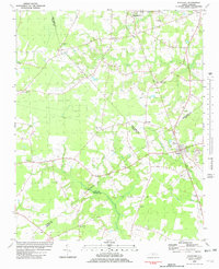 1981 Fountain1982 Print · USGSCoastal plain agriculture and small-town life in the early eighties center on the rural crossroads of Pitt and Edgecombe counties. Trace the roots of local communities at Piney Grove Sch, an Old Railroad Grade, and Webbtown Ch.
 - 1981 Map of Walstonburg, 1982 Print
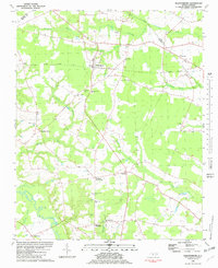 1981 Walstonburg1982 Print · USGSGreene County agriculture and community life are captured in detail here during the early eighties. Genealogists and historians can trace family roots through numerous rural landmarks like Speights Bridge, North Greene Sch, and Meadow Ch.
 - 1982 Map of Hookerton, 1983 Print
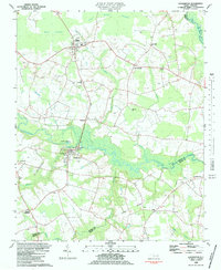 1982 Hookerton1983 Print · USGSCoastal plain life in the early eighties centered around the meandering Contentnea Creek and its surrounding pocosin wetlands. Genealogists and local historians can trace family locations near Hookerton, Maury, and numerous rural landmarks like Saints Delight Ch and East Greene Sch.
 - 1982 Map of Jason, 1983 Print
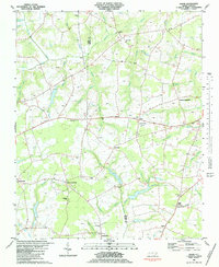 1982 Jason1983 Print · USGSGreene and Wayne counties are shown in the late seventies as a network of crossroads settlements and swamp-fed farmsteads. Genealogists can trace family landmarks and rural congregations like St Johns Ch, Cokers Crossroads, and Lovicks Chapel.2 unique versions available
 - 1982 Map of Snow Hill, 1983 Print
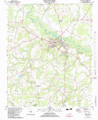 1982 Snow Hill1983 Print · USGSGreene County agriculture and community life are centered on the banks of Contentnea Creek in the early eighties. Genealogists and local historians can trace family ties through numerous rural landmarks like McCoy Chapel, Arba Ch, and the crossroads at Bests.
 - 1982 Map of Ayden, 1983 Print
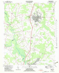 1982 Ayden1983 Print · USGSNorth Carolina's eastern coastal plain is captured here in the early eighties as the Seaboard Coast Line linked thriving rail towns. Genealogists and local historians can trace family roots through numerous country landmarks like Jackson Cem, Little Cr Ch, and the settlement of Hanrahan.
 - 1983 Map of Kinston
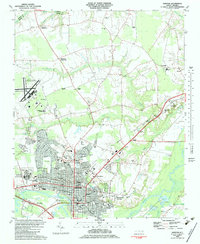 1983 Kinston1983 Print · USGSIn the early eighties, the city of Kinston stands as a vibrant regional center at the meeting of the Neuse River and major rail lines. Genealogists and historians can trace community roots through landmarks like Maplewood Cem, Grainger Stadium, and the Caswell Center.
 - 1983 Map of Falling Creek
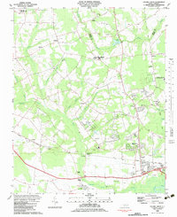 1983 Falling Creek1983 Print · USGSThe Lenoir County countryside comes into focus in the early eighties as a network of rail-side settlements and swamp-fed lowlands. Genealogists and local historians can trace family roots through Pinelawn Cem and Temple Israel Cem or locate the Kennedy Mem Home and Falling Creek Station.
 - 1983 Map of La Grange
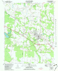 1983 La Grange1983 Print · USGSThe town of La Grange and its surrounding crossroads are captured here in the early eighties. Genealogists and local historians can trace the rural church network, including Jackson Chapel and White Oak Grove Ch, or locate small settlements like Best and Little Baltimore.
 - 1985 Map of Rocky Mount
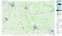 1985 Rocky Mount1985 Print · USGSThe eastern North Carolina coastal plain in the mid-eighties shows a landscape defined by its river-and-rail heritage. Genealogists and local historians can trace the development of Rocky Mount, Greenville, and Wilson, or locate landmarks like East Carolina University and the Voice of America site.2 unique versions available
 - 1985 Map of Kinston
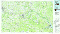 1985 Kinston1985 Print · USGSCoastal plain life and Cold War infrastructure meet in the mid-eighties as the Neuse River winds through agricultural heartlands. Researchers can locate family landmarks like Falling Creek Cem, old milling sites such as Tulls Mill, and the massive Voice of America Radio Towers.2 unique versions available
 - 1998 Map of Falling Creek, 2001 Print
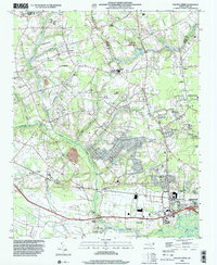 1998 Falling Creek2001 Print · USGSWestern Kinston and the rural Lenoir-Greene county line are captured here in the late nineties, showing a landscape defined by creeks and swamps. Researchers can locate numerous local landmarks like Falling Creek Station, Banks Chapel, and the grounds of the Kennedy Mem Home.
 - 1998 Map of Kinston, 2001 Print
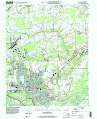 1998 Kinston2001 Print · USGSEastern North Carolina near the turn of the millennium shows the intersection of deep-rooted rural crossroads and a growing county seat. Researchers can find long-standing community landmarks from Maplewood Cem and Grainger Stadium to the small settlement of Savannah.
 - 2010 Map of Kinston, 2010 Print
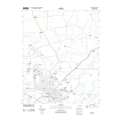 2010 Kinston2010 Print · USGSKinston and its Lenoir County surroundings are shown here in the early twenty-first century as the city expanded across the Neuse River. Researchers can trace urban neighborhoods like Eastover or find rural landmarks such as Harmony Hall, Maplewood Cemetery, and Graingers.
Showing maps 1-25 of 79
Top cities of Greene County
Frequently asked questions
- What are the different types of historical maps available for Greene County?
- What is the oldest map of Greene County?
- Where can I purchase historical maps of Greene County for my home or office?
- Where can I download high-res historical maps of Greene County?
- Are there historical topographic maps available for Greene County?
- Is there historical aerial imagery available for Greene County?
- Where are historical maps of Greene County sourced from?