2000s (21st Century) Maps of Stokesdale, North Carolina
Explore 22 historic maps of Stokesdale from the 2000s (21st Century). These maps offer a rare glimpse into what life looked like during the 2000s — showing old roads, neighborhoods, homes, and landmarks that have changed or disappeared over time.
Whether you're researching your family's past, planning a metal detecting trip, or studying how Stokesdale's landscape evolved across the 2000s, these high-resolution maps are a powerful tool for exploring the history of this region.
- Focus on a specific era: All maps on this page are from the 2000s, giving you a focused view of this time period.
- See what’s changed: Compare century-old streets, trails, and buildings to today's modern landscape using overlays and satellite layers.
- Research with precision: Use these maps for genealogy, historical research, land use analysis, or educational projects.
- View, download, or print: Maps are fully viewable online in high resolution, and can be downloaded or printed for your own records.
Start exploring Stokesdale's history through authentic maps from the 2000s. This is your window into the past.
Stokesdale, NC maps
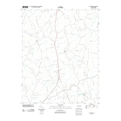
(22)- 2000 Map of Belews Creek, 2003 Print
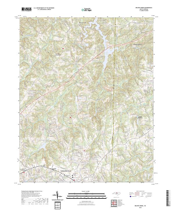
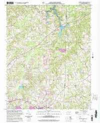 2000 Belews Creek2003 Print · USGSThe rolling hills of Forsyth and Guilford Counties are documented here as they appeared at the turn of the century. Genealogists and local historians can trace family locations near Crims Crossroads, White Oak Grove Ch, and the old Oak Spring Ch (Cem).
 - 2000 Map of Belews Lake, 2003 Print
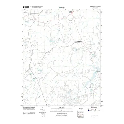
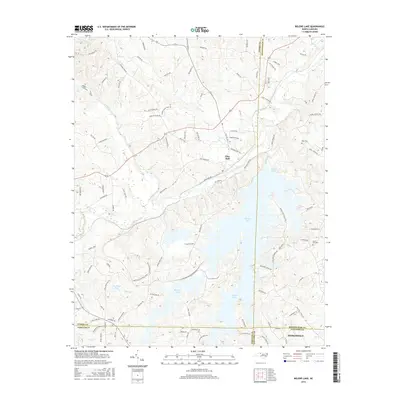
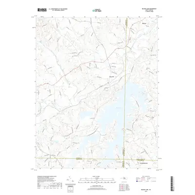
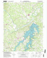 2000 Belews Lake2003 Print · USGSThe Piedmont landscape at the turn of the millennium shows a fascinating mix of rural tradition and industrial utility where four counties meet. Genealogists and local historians can locate numerous landmarks like Withers Chapel, Camp Vaughn, and the riverside settlement of Pine Hall.
 - 2010 Map of Belews Lake, 2010 Print
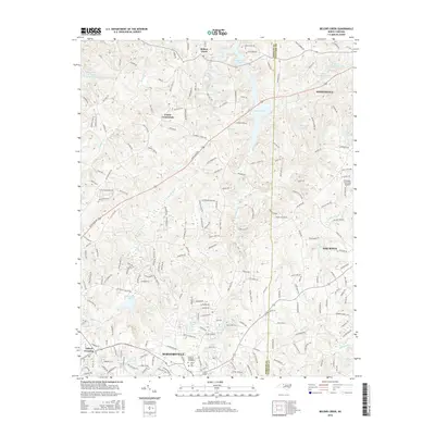
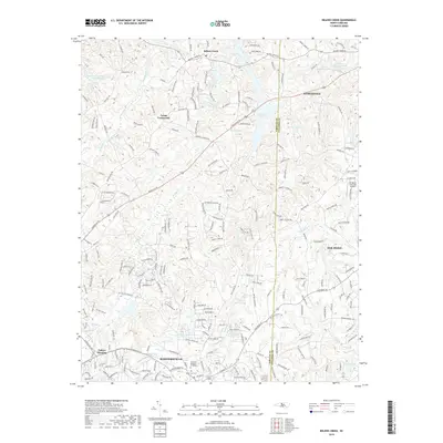
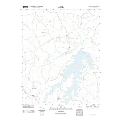 2010 Belews Lake2010 Print · USGSCovers Stokesdale, including Ceramic, Stonewood Acres, and other nearby areas
 - 2010 Map of Belews Creek, 2010 Print
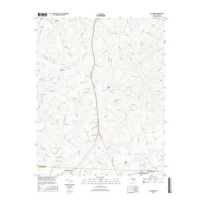
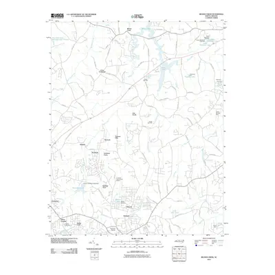 2010 Belews Creek2010 Print · USGSCovers Stokesdale, including Kernersville, Oak Ridge, and other nearby areas
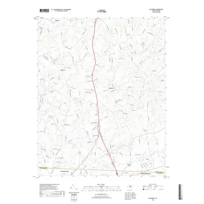
 - 2010 Map of Ellisboro, 2010 Print
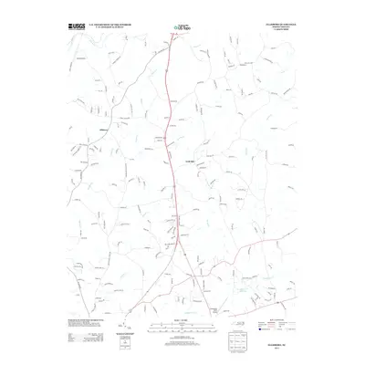
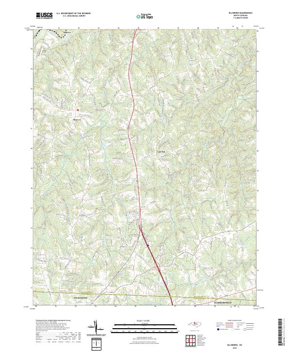
 2010 Ellisboro2010 Print · USGSCovers Stokesdale, including Summerfield, Madison, and other nearby areas
 - 2010 Map of Summerfield, 2010 Print
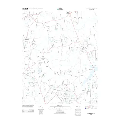
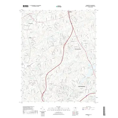
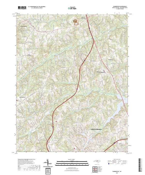
 2010 Summerfield2010 Print · USGSCovers Stokesdale, including Greensboro, Summerfield, and other nearby areas
 - 2013 Map of Belews Creek, 2013 Print
 2013 Belews Creek2013 Print · USGSCovers Stokesdale, including Kernersville, Oak Ridge, and other nearby areas
 - 2013 Map of Belews Lake, 2013 Print
 2013 Belews Lake2013 Print · USGSCovers Stokesdale, including Ceramic, Stonewood Acres, and other nearby areas
 - 2013 Map of Ellisboro, 2013 Print
 2013 Ellisboro2013 Print · USGSCovers Stokesdale, including Summerfield, Madison, and other nearby areas
 - 2013 Map of Summerfield, 2013 Print
 2013 Summerfield2013 Print · USGSCovers Stokesdale, including Greensboro, Summerfield, and other nearby areas
 - 2016 Map of Ellisboro, 2016 Print
 2016 Ellisboro2016 Print · USGSCovers Stokesdale, including Summerfield, Madison, and other nearby areas
 - 2016 Map of Summerfield, 2016 Print
 2016 Summerfield2016 Print · USGSCovers Stokesdale, including Greensboro, Summerfield, and other nearby areas
 - 2016 Map of Belews Creek, 2016 Print
 2016 Belews Creek2016 Print · USGSCovers Stokesdale, including Kernersville, Oak Ridge, and other nearby areas
 - 2016 Map of Belews Lake, 2016 Print
 2016 Belews Lake2016 Print · USGSCovers Stokesdale, including Ceramic, Stonewood Acres, and other nearby areas
 - 2019 Map of Ellisboro, 2019 Print
 2019 Ellisboro2019 Print · USGSCovers Stokesdale, including Summerfield, Madison, and other nearby areas
 - 2019 Map of Belews Creek, 2019 Print
 2019 Belews Creek2019 Print · USGSCovers Stokesdale, including Kernersville, Oak Ridge, and other nearby areas
 - 2019 Map of Summerfield, 2019 Print
 2019 Summerfield2019 Print · USGSCovers Stokesdale, including Greensboro, Summerfield, and other nearby areas
 - 2019 Map of Belews Lake, 2019 Print
 2019 Belews Lake2019 Print · USGSCovers Stokesdale, including Ceramic, Stonewood Acres, and other nearby areas
 - 2022 Map of Summerfield, 2022 Print
 2022 Summerfield2022 Print · USGSThe Piedmont landscape near Summerfield and Oak Ridge is shown here in the early 2020s as modern development meets historic crossroads. Trace the drainage of the Haw River and find local landmarks like Bailes Old Millpond and Kings Crossroads.
 - 2022 Map of Ellisboro, 2022 Print
 2022 Ellisboro2022 Print · USGSThe northern Piedmont comes into focus in the early 2020s, showing the rural landscapes between the Dan River and the Guilford County line. Genealogists can trace family lands along Sardis Church Rd and the waters of Hogans Cr or Troublesome Cr.
 - 2022 Map of Belews Creek, 2022 Print
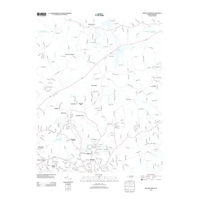
 2022 Belews Creek2022 Print · USGSThe northern Piedmont comes into focus during this contemporary era of growth between Kernersville and Stokesdale. Researchers can trace family history at Mount Gur Cem or locate rural aviation history at the DS Butler Farm and Airfield.
 - 2022 Map of Belews Lake, 2022 Print
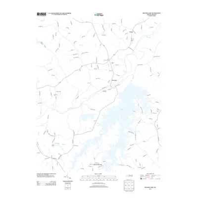
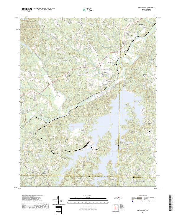 2022 Belews Lake2022 Print · USGSThe sprawling reservoir of Belews Lake and the winding Dan River define this Piedmont landscape in the early 2020s. Genealogists and local historians can trace family-named routes and sites like Eden Cemetery, Mount Zion Cemetery, and Pine Hall.
End of results
Showing maps 1-22 of 22
Top cities near Stokesdale
- Greensboro historical maps
- Winston-Salem historical maps
- High Point historical maps
- Kernersville historical maps
- Summerfield historical maps
- Walkertown historical maps
See more
Top neighborhoods of Stokesdale
Frequently asked questions
- What are the different types of historical maps available for Stokesdale?
- What is the oldest map of Stokesdale?
- Where can I purchase historical maps of Stokesdale for my home or office?
- Where can I download high-res historical maps of Stokesdale?
- Are there historical topographic maps available for Stokesdale?
- Is there historical aerial imagery available for Stokesdale?
- Where are historical maps of Stokesdale sourced from?