Old Maps of Palmyra, North Carolina for Metal Detecting
Plan your next treasure hunt with 9 historic maps of Palmyra. Find old homesites, ghost towns, trails, and gathering spots that may be lost to time — perfect for identifying promising metal detecting locations.
- Locate forgotten sites: Uncover places like long-lost settlements, abandoned rail lines, or gathering spots.
- Plan better hunts: Use map overlays combined with LiDAR or satellite views to narrow in on historically rich areas.
- Made for detectorists: Thousands of hobbyists use these maps to discover relics, coins, and hidden history.
Use these historic maps to boost your research and find new opportunities beneath the surface of Palmyra.
Palmyra, NC maps
(9)- 1953 Map of Norfolk, 1954 Print
 1953 Norfolk1954 Print · USGSCoastal Virginia and northeastern North Carolina appear here during the post-war industrial boom, showing the critical rail-and-sea connections of Hampton Roads. Genealogists can trace family roots through rural landmarks like Gethsemane Ch, the Caledonia State Prison Farm, and the vast interior of the Dismal Swamp.4 unique versions available
 - 1962 Map of Palmyra, 1964 Print
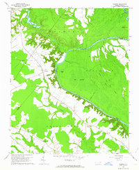 1962 Palmyra1964 Print · USGSCoastal plain farming and river bottomlands meet along the Roanoke River in the early sixties. Genealogists can locate family-named sites like Stephenson Cem and Mizell Cem or trace the rural route of the Atlantic Coast Line.
 - 1985 Map of Roanoke Rapids
 1985 Roanoke Rapids1985 Print · USGSNorthern North Carolina's river-driven economy is on display here in the mid-1980s, from the hydro-power at Roanoke Rapids to the rural millponds. Genealogists can trace family lands near Wiccacanee Pond, Mush Island, or the remote Urahaw Swamp.2 unique versions available
 - 1997 Map of Palmyra, 2000 Print
 1997 Palmyra2000 Print · USGSThe Roanoke River lowlands and the community of Palmyra are captured here in the late 1990s as a complex network of wetlands and rural homesteads. Genealogists and local historians can trace family ties through numerous sites like Hills Ferry, Johnandrus Ch, and Stephenson Cem.
 - 2010 Map of Palmyra, 2010 Print
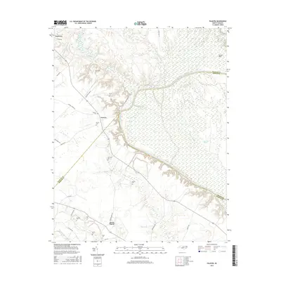
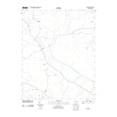 2010 Palmyra2010 Print · USGSCovers Palmyra, including Mount Pilgrim, Halifax County, and other nearby areas
 - 2013 Map of Palmyra, 2013 Print
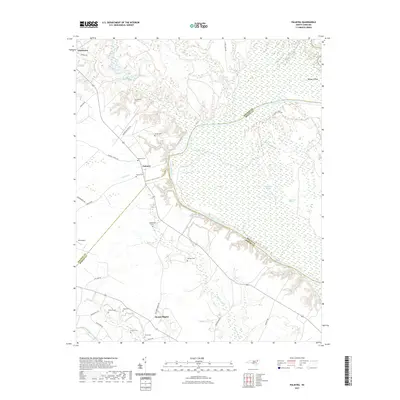
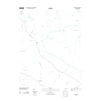 2013 Palmyra2013 Print · USGSCovers Palmyra, including Mount Pilgrim, Halifax County, and other nearby areas
 - 2016 Map of Palmyra, 2016 Print
 2016 Palmyra2016 Print · USGSCovers Palmyra, including Mount Pilgrim, Halifax County, and other nearby areas
 - 2021 Map of Palmyra, 2021 Print
 2021 Palmyra2021 Print · USGSCovers Palmyra, including Mount Pilgrim, Halifax County, and other nearby areas
 - 2022 Map of Palmyra, 2022 Print
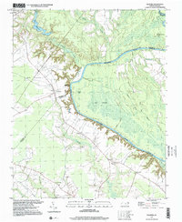
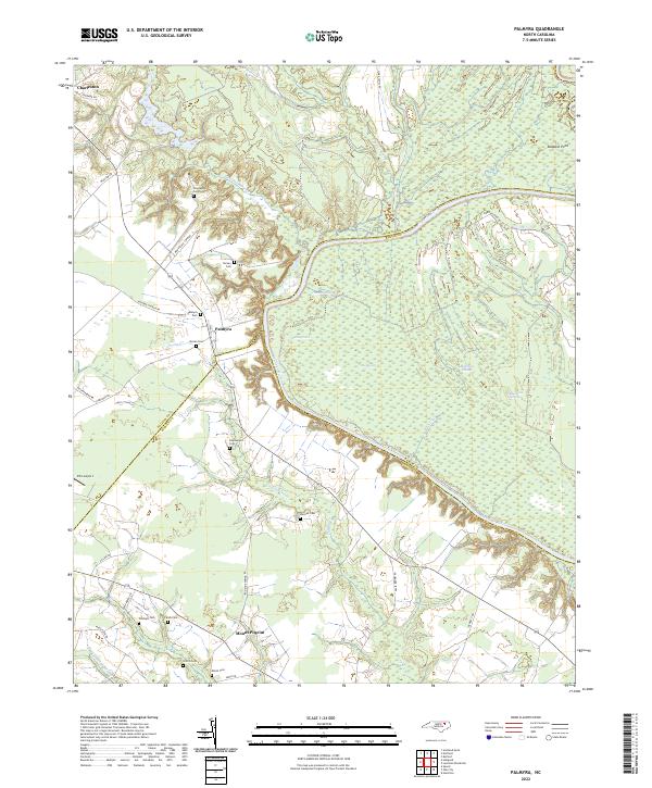 2022 Palmyra2022 Print · USGSThe Roanoke River basin in eastern North Carolina comes to life here, showing the rural communities and wetland networks of Halifax, Martin, and Bertie counties. Genealogists can trace family names at Palmyra Cem, Stephenson Cem, and Williams Cem near the riverbanks.
End of results
Showing maps 1-9 of 9
Top cities near Palmyra
- Tarboro historical maps
- Scotland Neck historical maps
- Princeville historical maps
- Rich Square historical maps
- Aulander historical maps
- Lewiston Woodville historical maps
See more
Frequently asked questions
- What are the different types of historical maps available for Palmyra?
- What is the oldest map of Palmyra?
- Where can I purchase historical maps of Palmyra for my home or office?
- Where can I download high-res historical maps of Palmyra?
- Are there historical topographic maps available for Palmyra?
- Is there historical aerial imagery available for Palmyra?
- Where are historical maps of Palmyra sourced from?