Old Maps of Pea Hill, North Carolina for Academic Research
Study the evolution of Pea Hill with 10 high-resolution historic maps. Whether you're teaching, researching, or modeling changes in land use, these maps provide essential visual documentation of urban, environmental, and geographic change.
- Analyze long-term change: Track patterns in development, transportation, and natural features.
- Ideal for environmental or urban studies: Support academic projects with primary historical map data.
- Use in the classroom or lab: Educators and researchers rely on these maps to bring historical context to life.
These maps are a powerful tool for teaching, research, and visualizing how Pea Hill has changed over the decades.
Pea Hill, NC maps
(10)- 1953 Map of Norfolk, 1954 Print
 1953 Norfolk1954 Print · USGSCoastal Virginia and northeastern North Carolina appear here during the post-war industrial boom, showing the critical rail-and-sea connections of Hampton Roads. Genealogists can trace family roots through rural landmarks like Gethsemane Ch, the Caledonia State Prison Farm, and the vast interior of the Dismal Swamp.4 unique versions available
 - 1974 Map of Halifax, 1977 Print
 1974 Halifax1977 Print · USGSCoastal plain life in the mid-1970s is centered on the river bend and rail lines of the Roanoke valley. Genealogists and historians can trace local landmarks like Little Zion Ch, the settlement at Mud Castle, and the sprawling Occoneechee Neck.
 - 1976 Map of Halifax, 1979 Print
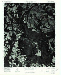 1976 Halifax1979 Print · USGSCoastal plain farmland and river bottomlands define this Halifax County landscape during the mid-seventies. Genealogists and local historians can trace the footprint of rural settlements like Pender and Ruggles along the banks of the Roanoke River.
 - 1985 Map of Roanoke Rapids
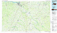 1985 Roanoke Rapids1985 Print · USGSNorthern North Carolina's river-driven economy is on display here in the mid-1980s, from the hydro-power at Roanoke Rapids to the rural millponds. Genealogists can trace family lands near Wiccacanee Pond, Mush Island, or the remote Urahaw Swamp.2 unique versions available
 - 1997 Map of Halifax, 2000 Print
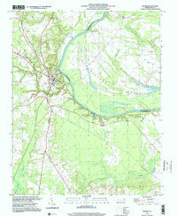 1997 Halifax2000 Print · USGSThe Roanoke River valley in the late twentieth century reveals a landscape shaped by its deep water bends and rail lines. You can trace family-named locales and community centers like Little Zion Church, Jackson School, and the settlement at Pea Hill.
 - 2010 Map of Halifax, 2010 Print
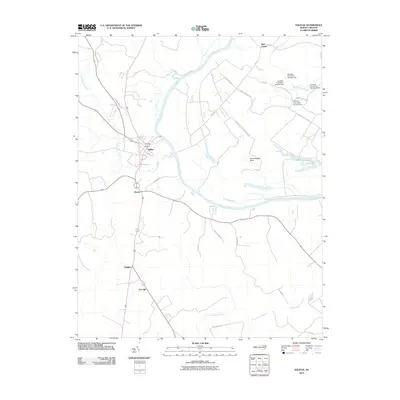 2010 Halifax2010 Print · USGSCoastal plain settlements and the winding Roanoke River define this North Carolina landscape in the early twenty-first century. Researchers can trace rural roads to family-named landmarks and small communities like Pea Hill, Ruggles, and Mud Castle.
 - 2013 Map of Halifax, 2013 Print
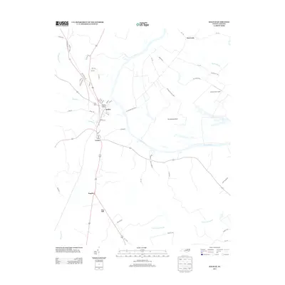 2013 Halifax2013 Print · USGSThe Roanoke River basin in the early twenty-first century reveals a landscape of enduring rural settlements and complex wetlands. Researchers can trace family-named lands and local hubs like Halifax, the Johnston Farm Airport, and the distinctively named Mud Castle.
 - 2016 Map of Halifax, 2016 Print
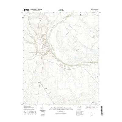 2016 Halifax2016 Print · USGSThe Roanoke River valley and the historic seat of Halifax define this 2016 landscape. Researchers can trace rural community development at Pender and Ruggles, find family holdings near the Johnston Farm Airport, or explore the wetland reaches of Conoconnara Swamp.
 - 2019 Map of Halifax, 2019 Print
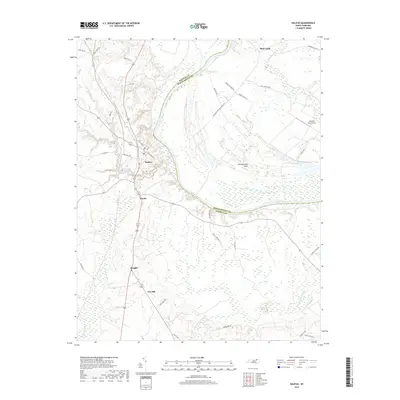 2019 Halifax2019 Print · USGSThe Roanoke River valley near Halifax is captured here in the late 2010s, showing the intersection of historic river settlements and modern agricultural life. Trace local family history and rural landscapes near Pea Hill, Mud Castle, and the sprawling Occoneechee Neck.
 - 2022 Map of Halifax, 2022 Print
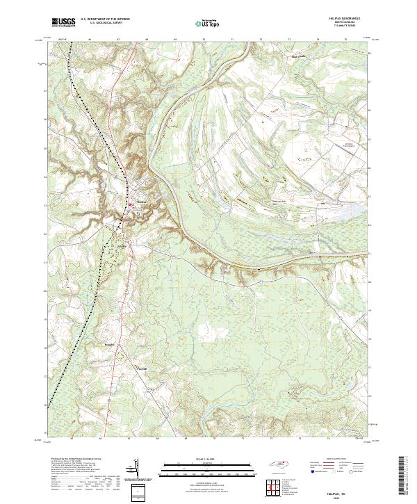 2022 Halifax2022 Print · USGSHalifax, North Carolina, and the surrounding river bottomlands are captured here in the early 2020s, showcasing the traditional county seat and the agricultural heart of the Roanoke valley. Researchers can pinpoint the Halifax County Courthouse or trace property lines near Pender and the unique loop of Occoneechee Neck.
End of results
Showing maps 1-10 of 10
Top cities near Pea Hill
- Rocky Mount historical maps
- Roanoke Rapids historical maps
- South Rosemary historical maps
- Enfield historical maps
- Scotland Neck historical maps
- Weldon historical maps
See more
Frequently asked questions
- What are the different types of historical maps available for Pea Hill?
- What is the oldest map of Pea Hill?
- Where can I purchase historical maps of Pea Hill for my home or office?
- Where can I download high-res historical maps of Pea Hill?
- Are there historical topographic maps available for Pea Hill?
- Is there historical aerial imagery available for Pea Hill?
- Where are historical maps of Pea Hill sourced from?