Old Maps of Pender, North Carolina for Hiking & Exploration
Hike through history with 10 historic maps of Pender. Explore old trails, ghost towns, and forgotten backroads — perfect for outdoor adventurers and local explorers.
- Rediscover forgotten places: Map out old mining camps, roads, and footpaths that no longer exist on modern maps.
- Layer with modern tools: Combine with LiDAR or satellite views to plan hikes through historical terrain.
- Made for exploration: Popular among hikers, overlanders, and local history lovers.
Use these maps to find adventure and explore the hidden past of Pender.
Pender, NC maps
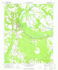
(10)- 1953 Map of Norfolk, 1954 Print
 1953 Norfolk1954 Print · USGSCoastal Virginia and northeastern North Carolina appear here during the post-war industrial boom, showing the critical rail-and-sea connections of Hampton Roads. Genealogists can trace family roots through rural landmarks like Gethsemane Ch, the Caledonia State Prison Farm, and the vast interior of the Dismal Swamp.4 unique versions available
 - 1974 Map of Halifax, 1977 Print
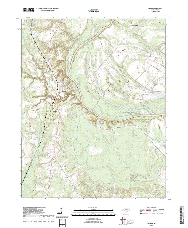
 1974 Halifax1977 Print · USGSCoastal plain life in the mid-1970s is centered on the river bend and rail lines of the Roanoke valley. Genealogists and historians can trace local landmarks like Little Zion Ch, the settlement at Mud Castle, and the sprawling Occoneechee Neck.
 - 1976 Map of Halifax, 1979 Print
 1976 Halifax1979 Print · USGSCoastal plain farmland and river bottomlands define this Halifax County landscape during the mid-seventies. Genealogists and local historians can trace the footprint of rural settlements like Pender and Ruggles along the banks of the Roanoke River.
 - 1985 Map of Roanoke Rapids
 1985 Roanoke Rapids1985 Print · USGSNorthern North Carolina's river-driven economy is on display here in the mid-1980s, from the hydro-power at Roanoke Rapids to the rural millponds. Genealogists can trace family lands near Wiccacanee Pond, Mush Island, or the remote Urahaw Swamp.2 unique versions available
 - 1997 Map of Halifax, 2000 Print
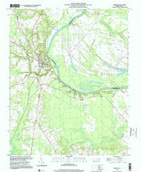 1997 Halifax2000 Print · USGSThe Roanoke River valley in the late twentieth century reveals a landscape shaped by its deep water bends and rail lines. You can trace family-named locales and community centers like Little Zion Church, Jackson School, and the settlement at Pea Hill.
 - 2010 Map of Halifax, 2010 Print
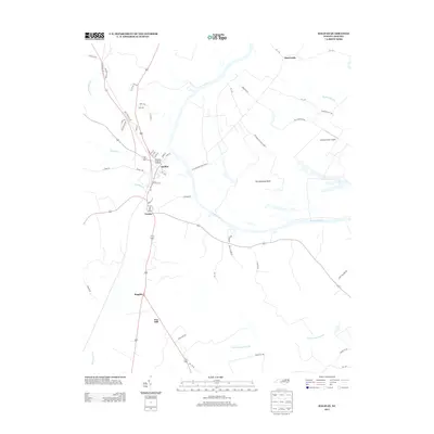
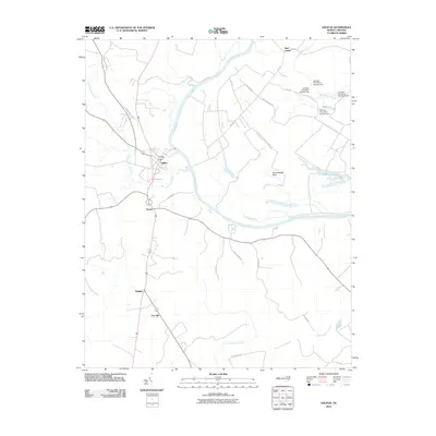 2010 Halifax2010 Print · USGSCovers Pender, including Halifax, Mud Castle, and other nearby areas
 - 2013 Map of Halifax, 2013 Print
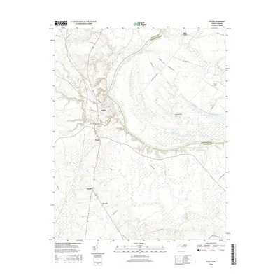
 2013 Halifax2013 Print · USGSCovers Pender, including Halifax, Mud Castle, and other nearby areas
 - 2016 Map of Halifax, 2016 Print
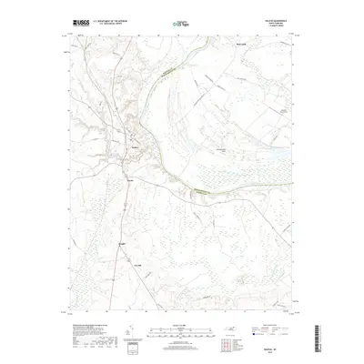
 2016 Halifax2016 Print · USGSCovers Pender, including Halifax, Mud Castle, and other nearby areas
 - 2019 Map of Halifax, 2019 Print
 2019 Halifax2019 Print · USGSCovers Pender, including Halifax, Mud Castle, and other nearby areas
 - 2022 Map of Halifax, 2022 Print
 2022 Halifax2022 Print · USGSHalifax, North Carolina, and the surrounding river bottomlands are captured here in the early 2020s, showcasing the traditional county seat and the agricultural heart of the Roanoke valley. Researchers can pinpoint the Halifax County Courthouse or trace property lines near Pender and the unique loop of Occoneechee Neck.
End of results
Showing maps 1-10 of 10
Top cities near Pender
- Roanoke Rapids historical maps
- South Rosemary historical maps
- Enfield historical maps
- Scotland Neck historical maps
- Weldon historical maps
- Garysburg historical maps
See more
Frequently asked questions
- What are the different types of historical maps available for Pender?
- What is the oldest map of Pender?
- Where can I purchase historical maps of Pender for my home or office?
- Where can I download high-res historical maps of Pender?
- Are there historical topographic maps available for Pender?
- Is there historical aerial imagery available for Pender?
- Where are historical maps of Pender sourced from?