Old Maps of Pierces Crossroads, North Carolina for Academic Research
Study the evolution of Pierces Crossroads with 9 high-resolution historic maps. Whether you're teaching, researching, or modeling changes in land use, these maps provide essential visual documentation of urban, environmental, and geographic change.
- Analyze long-term change: Track patterns in development, transportation, and natural features.
- Ideal for environmental or urban studies: Support academic projects with primary historical map data.
- Use in the classroom or lab: Educators and researchers rely on these maps to bring historical context to life.
These maps are a powerful tool for teaching, research, and visualizing how Pierces Crossroads has changed over the decades.
Pierces Crossroads, NC maps
(9)- 1953 Map of Norfolk, 1954 Print
 1953 Norfolk1954 Print · USGSCoastal Virginia and northeastern North Carolina appear here during the post-war industrial boom, showing the critical rail-and-sea connections of Hampton Roads. Genealogists can trace family roots through rural landmarks like Gethsemane Ch, the Caledonia State Prison Farm, and the vast interior of the Dismal Swamp.4 unique versions available
 - 1974 Map of Darlington, 1977 Print
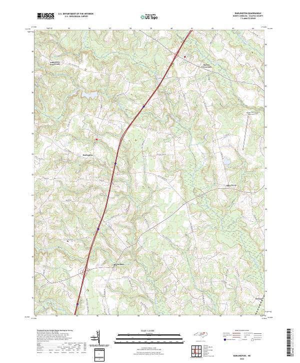
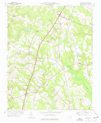 1974 Darlington1977 Print · USGSCoastal plain North Carolina in the mid-seventies shows a landscape of rural crossroads and persistent swamp networks. Genealogists can trace family connections through numerous local landmarks like Smith Chapel, Allen Grove, and Andersons Crossroads.
 - 1985 Map of Roanoke Rapids
 1985 Roanoke Rapids1985 Print · USGSNorthern North Carolina's river-driven economy is on display here in the mid-1980s, from the hydro-power at Roanoke Rapids to the rural millponds. Genealogists can trace family lands near Wiccacanee Pond, Mush Island, or the remote Urahaw Swamp.2 unique versions available
 - 1998 Map of Darlington, 2000 Print
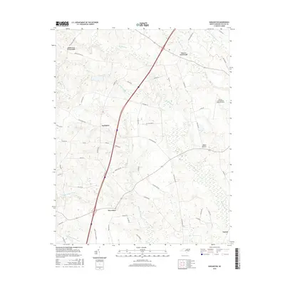
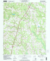 1998 Darlington2000 Print · USGSHalifax County at the turn of the millennium remains a landscape of historic crossroads and sprawling wetlands. Genealogists and local historians can trace legacy community centers like Darlington, the Pittman Sch, and Pleasant Hill Ch among the reaches of Beaverdam Swamp.
 - 2010 Map of Darlington, 2010 Print
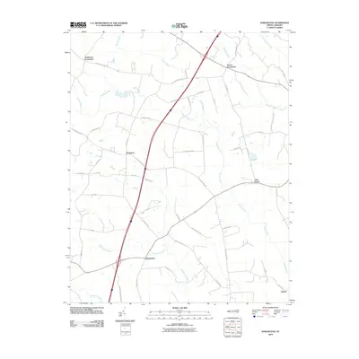 2010 Darlington2010 Print · USGSCovers Pierces Crossroads, including Allen Grove, Delmar, and other nearby areas
 - 2013 Map of Darlington, 2013 Print
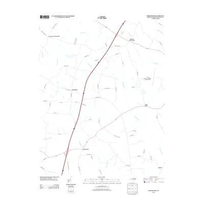 2013 Darlington2013 Print · USGSCovers Pierces Crossroads, including Allen Grove, Delmar, and other nearby areas
 - 2016 Map of Darlington, 2016 Print
 2016 Darlington2016 Print · USGSCovers Pierces Crossroads, including Allen Grove, Delmar, and other nearby areas
 - 2019 Map of Darlington, 2019 Print
 2019 Darlington2019 Print · USGSCovers Pierces Crossroads, including Allen Grove, Delmar, and other nearby areas
 - 2022 Map of Darlington, 2022 Print
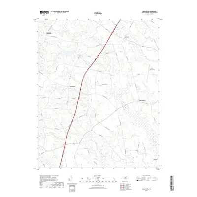
 2022 Darlington2022 Print · USGSHalifax County, North Carolina, maintains its rural character in the early 2020s, shaped by an intricate network of lowland swamps. Trace local family history and road networks through Darlington, Andersons Crossroads, and the winding banks of Marsh Swamp.
End of results
Showing maps 1-9 of 9
Top cities near Pierces Crossroads
- Roanoke Rapids historical maps
- South Rosemary historical maps
- Enfield historical maps
- Weldon historical maps
- Garysburg historical maps
- Gaston historical maps
See more
Frequently asked questions
- What are the different types of historical maps available for Pierces Crossroads?
- What is the oldest map of Pierces Crossroads?
- Where can I purchase historical maps of Pierces Crossroads for my home or office?
- Where can I download high-res historical maps of Pierces Crossroads?
- Are there historical topographic maps available for Pierces Crossroads?
- Is there historical aerial imagery available for Pierces Crossroads?
- Where are historical maps of Pierces Crossroads sourced from?