Old Maps of Roper Springs, North Carolina for Academic Research
Study the evolution of Roper Springs with 9 high-resolution historic maps. Whether you're teaching, researching, or modeling changes in land use, these maps provide essential visual documentation of urban, environmental, and geographic change.
- Analyze long-term change: Track patterns in development, transportation, and natural features.
- Ideal for environmental or urban studies: Support academic projects with primary historical map data.
- Use in the classroom or lab: Educators and researchers rely on these maps to bring historical context to life.
These maps are a powerful tool for teaching, research, and visualizing how Roper Springs has changed over the decades.
Roper Springs, NC maps
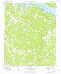
(9)- 1953 Map of Norfolk, 1954 Print
 1953 Norfolk1954 Print · USGSCoastal Virginia and northeastern North Carolina appear here during the post-war industrial boom, showing the critical rail-and-sea connections of Hampton Roads. Genealogists can trace family roots through rural landmarks like Gethsemane Ch, the Caledonia State Prison Farm, and the vast interior of the Dismal Swamp.4 unique versions available
 - 1973 Map of Thelma, 1977 Print
 1973 Thelma1977 Print · USGSHalifax County is seen here in the 1970s as the Roanoke River reservoir system shaped the local landscape. Family historians can trace small rural communities like Summit and Gretna Green or locate churches such as Hawkins Chapel and Babbitts Chapel.2 unique versions available
 - 1976 Map of Thelma, 1979 Print
 1976 Thelma1979 Print · USGSThe Roanoke River valley and the shores of Lake Gaston are captured in this mid-seventies photographic survey. Genealogists and researchers can trace rural settlements at Thelma, Summit, and Hinnant Crossroads.
 - 1985 Map of Roanoke Rapids
 1985 Roanoke Rapids1985 Print · USGSNorthern North Carolina's river-driven economy is on display here in the mid-1980s, from the hydro-power at Roanoke Rapids to the rural millponds. Genealogists can trace family lands near Wiccacanee Pond, Mush Island, or the remote Urahaw Swamp.2 unique versions available
 - 2010 Map of Thelma, 2010 Print
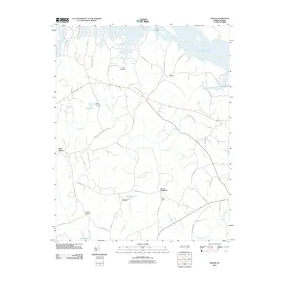 2010 Thelma2010 Print · USGSCovers Roper Springs, including Gretna Green, Thelma, and other nearby areas
 - 2013 Map of Thelma, 2013 Print
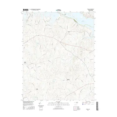
 2013 Thelma2013 Print · USGSCovers Roper Springs, including Gretna Green, Thelma, and other nearby areas
 - 2016 Map of Thelma, 2016 Print
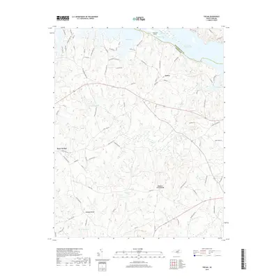
 2016 Thelma2016 Print · USGSCovers Roper Springs, including Gretna Green, Thelma, and other nearby areas
 - 2019 Map of Thelma, 2019 Print
 2019 Thelma2019 Print · USGSCovers Roper Springs, including Gretna Green, Thelma, and other nearby areas
 - 2022 Map of Thelma, 2022 Print
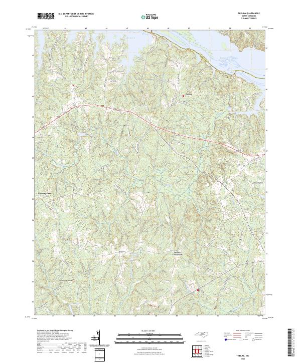 2022 Thelma2022 Print · USGSHalifax and Northampton Counties meet at the Roanoke River in this contemporary 2020s study of the North Carolina borderlands. Genealogists and local historians can trace the rural hubs of Thelma, Hinnes Crossroads, and Gretna Green alongside the shorelines of Lake Gaston.
End of results
Showing maps 1-9 of 9
Top cities near Roper Springs
- Roanoke Rapids historical maps
- South Rosemary historical maps
- Gaston historical maps
- Gasburg historical maps
- Ebony historical maps
- Macon historical maps
Frequently asked questions
- What are the different types of historical maps available for Roper Springs?
- What is the oldest map of Roper Springs?
- Where can I purchase historical maps of Roper Springs for my home or office?
- Where can I download high-res historical maps of Roper Springs?
- Are there historical topographic maps available for Roper Springs?
- Is there historical aerial imagery available for Roper Springs?
- Where are historical maps of Roper Springs sourced from?