Old Maps of Edinburgh, North Carolina
Explore 12 old maps of Edinburgh, spanning from 1949 to today. These high-resolution historic maps reveal how streets, neighborhoods, landmarks, and natural features evolved over time — perfect for genealogy, metal detecting, research, and local history exploration.
What you can do with these maps:
- See how Edinburgh changed over time: Compare historical maps to modern-day views to trace roads, homesites, rail lines & more.
- View detailed metadata: Each map includes creators, publishers, year, scale, and archive source.
- Overlay maps with satellite & LiDAR: Visualize the past alongside modern tools to explore terrain & human change.
- Trusted historical sources: Maps sourced from the USGS, Library of Congress, and other archives.
- Access maps your way: View online, download high-res files, or order prints for personal or research use.
Start exploring old maps of Edinburgh to uncover forgotten places, hidden landmarks, and the deep history beneath your feet.
Edinburgh, NC maps
(12)- 1949 Map of Wagram, 1953 Print
 1949 Wagram1953 Print · USGSScotland and Hoke counties were defined by the confluence of the Lumber River and vital rail lines during the late nineteen-forties. Researchers can trace ancestral locations like Gaineys Place, Purcell Cem, and the historic Bowmore station.2 unique versions available
 - 1949 Map of Laurinburg, 1954 Print
 1949 Laurinburg1954 Print · USGSThe mid-century landscape of Scotland County comes alive in this survey of a growing rail hub and its rural surroundings. Researchers can trace the lines of the Seaboard Air Line, locate historic institutions like Flora College, or find family landmarks such as McNeill Cem and Gaineys Place.
 - 1953 Map of Florence, 1964 Print
 1953 Florence1964 Print · USGSThe Carolina borderlands in the mid-fifties were a landscape of vast river swamps and rising rail towns. Trace the legacy of the Seaboard Air Line through Florence or explore the wetlands surrounding Lake Waccamaw and the Green Swamp.3 unique versions available
 - 1954 Map of Florence
 1954 Florence1954 Print · USGSThe Carolinas borderlands come alive in the early fifties, showing the vital rail-and-river networks of the coastal plain. Genealogists can trace family footprints across the Green Swamp or through settlements like Red Springs, Chadbourn, and McColl.
 - 1976 Map of Wagram, 1978 Print
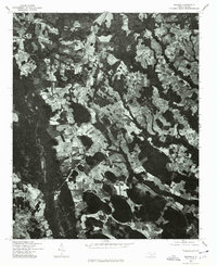 1976 Wagram1978 Print · USGSScotland County's rural landscape is captured in the mid-seventies, showing the intersection of agriculture and community life. Genealogists and historians can trace the layouts of Wagram, Bowmore, and Hickory Grove against the field lines of the era.
 - 1983 Map of Laurinburg, 1984 Print
 1983 Laurinburg1984 Print · USGSThe Carolina borderlands come into focus in the early 1980s, showcasing a landscape defined by the Sandhills Game Land and major river systems. Genealogists and rail historians can trace the paths of the Seaboard Coast Line Railroad through Hamlet or locate St Andrews College and Cheraw State Park.2 unique versions available
 - 2002 Map of Wagram
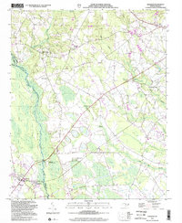 2002 Wagram2002 Print · USGSThe Lumber River lowlands of Scotland and Hoke Counties are captured here at the dawn of the millennium. Researchers can trace the path of the Laurinburg and Southern RR and locate rural landmarks like Purcell Cem and Shady Grove Ch.
 - 2010 Map of Wagram, 2010 Print
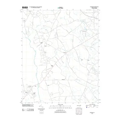 2010 Wagram2010 Print · USGSCoastal plain settlements and expansive swamp networks characterize this Hoke County region in the early twenty-first century. Researchers can trace family history through numerous landmarks including McMillan Cemetery, Purcell Cemetery, and the community at Wagram.
 - 2013 Map of Wagram, 2013 Print
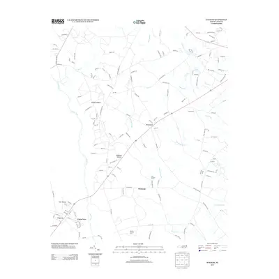 2013 Wagram2013 Print · USGSHoke County agriculture and small-town life are captured here in the early twenty-first century as the landscape remains deeply tied to the Lumber River. Researchers can trace the development of localized communities like Wagram, Bowmore, and Crump Town amidst the drainage of the Raft Swamp.
 - 2016 Map of Wagram, 2016 Print
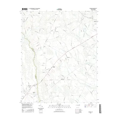 2016 Wagram2016 Print · USGSThe Hoke and Scotland county line comes to life in the mid-2010s, revealing a landscape of expansive wetlands and small hamlets. Genealogists can trace family heritage through numerous burial sites like Blue Cem and Purcell Cem near Hickory Grove.
 - 2019 Map of Wagram, 2019 Print
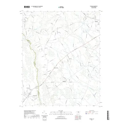 2019 Wagram2019 Print · USGSThe borderlands of Hoke and Scotland counties come into focus in the late 2010s, showcasing a landscape defined by the Laurinburg & Southern RR. Local historians can trace family roots through numerous burial sites like Purcell Cem and McNeill Cem near Edinburgh.
 - 2022 Map of Wagram, 2022 Print
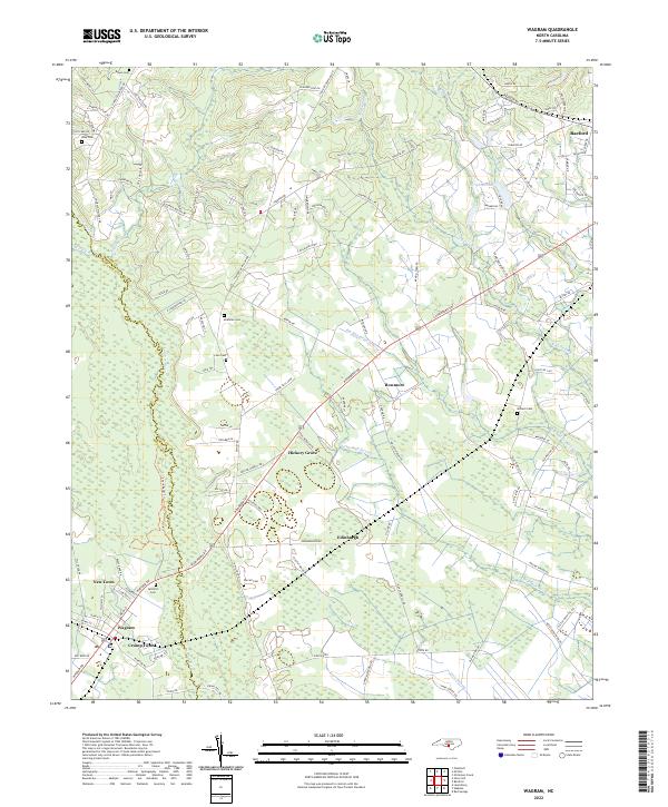 2022 Wagram2022 Print · USGSThe Scotland and Hoke County line follows the winding Lumber River in the early 2020s. Researchers can locate family landmarks such as Gilchrist Cem and McMillan Cem, or trace the rural routes connecting Wagram and Raeford.
End of results
Showing maps 1-12 of 12
Top cities near Edinburgh
- Fayetteville historical maps
- Lumberton historical maps
- Laurinburg historical maps
- Southern Pines historical maps
- Aberdeen historical maps
- Raeford historical maps
See more
Frequently asked questions
- What are the different types of historical maps available for Edinburgh?
- What is the oldest map of Edinburgh?
- Where can I purchase historical maps of Edinburgh for my home or office?
- Where can I download high-res historical maps of Edinburgh?
- Are there historical topographic maps available for Edinburgh?
- Is there historical aerial imagery available for Edinburgh?
- Where are historical maps of Edinburgh sourced from?