2000s (21st Century) Maps of Makleyville, North Carolina
Explore 6 historic maps of Makleyville from the 2000s (21st Century). These maps offer a rare glimpse into what life looked like during the 2000s — showing old roads, neighborhoods, homes, and landmarks that have changed or disappeared over time.
Whether you're researching your family's past, planning a metal detecting trip, or studying how Makleyville's landscape evolved across the 2000s, these high-resolution maps are a powerful tool for exploring the history of this region.
- Focus on a specific era: All maps on this page are from the 2000s, giving you a focused view of this time period.
- See what’s changed: Compare century-old streets, trails, and buildings to today's modern landscape using overlays and satellite layers.
- Research with precision: Use these maps for genealogy, historical research, land use analysis, or educational projects.
- View, download, or print: Maps are fully viewable online in high resolution, and can be downloaded or printed for your own records.
Start exploring Makleyville's history through authentic maps from the 2000s. This is your window into the past.
Makleyville, NC maps
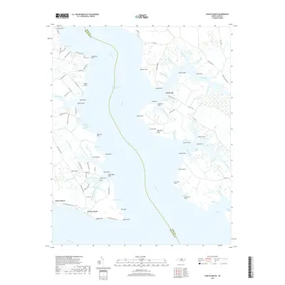
(6)- 2002 Map of Pamlico Beach
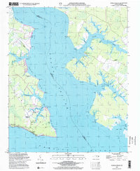 2002 Pamlico Beach2002 Print · USGSThe Inner Banks of Hyde and Beaufort counties come into focus here, where the Pungo River meets the sound. Trace the locations of coastal settlements and landmarks like Pamlico Beach, Makleyville, and the historic Pamlico Chapel.
 - 2010 Map of Pamlico Beach, 2010 Print
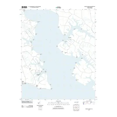 2010 Pamlico Beach2010 Print · USGSCovers Makleyville, including Schoolhouse Landing, Moores Beach, and other nearby areas
 - 2013 Map of Pamlico Beach, 2013 Print
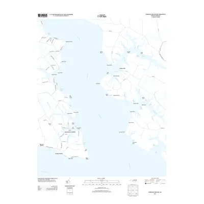 2013 Pamlico Beach2013 Print · USGSCovers Makleyville, including Schoolhouse Landing, Moores Beach, and other nearby areas
 - 2016 Map of Pamlico Beach, 2016 Print
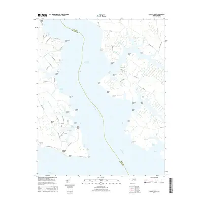 2016 Pamlico Beach2016 Print · USGSCovers Makleyville, including Schoolhouse Landing, Moores Beach, and other nearby areas
 - 2019 Map of Pamlico Beach, 2019 Print
 2019 Pamlico Beach2019 Print · USGSCovers Makleyville, including Schoolhouse Landing, Moores Beach, and other nearby areas
 - 2022 Map of Pamlico Beach, 2022 Print
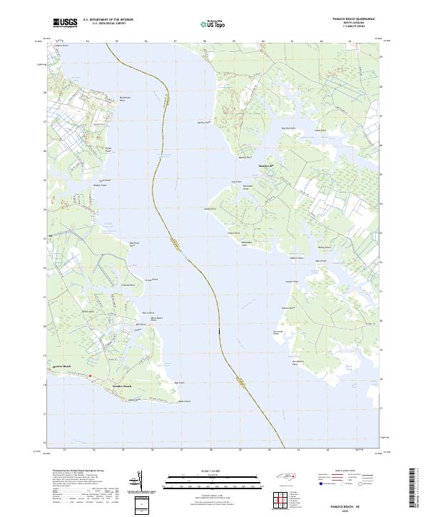 2022 Pamlico Beach2022 Print · USGSCoastal life in Hyde and Beaufort Counties is defined by the deep waters of the Pungo River and the marshes of the sound. This map allows you to trace the shoreline from Makleyville to Pamlico Beach, locating landmarks like One Thousand Marshes and Tarkiln Neck.
End of results
Showing maps 1-6 of 6
Top cities near Makleyville
Frequently asked questions
- What are the different types of historical maps available for Makleyville?
- What is the oldest map of Makleyville?
- Where can I purchase historical maps of Makleyville for my home or office?
- Where can I download high-res historical maps of Makleyville?
- Are there historical topographic maps available for Makleyville?
- Is there historical aerial imagery available for Makleyville?
- Where are historical maps of Makleyville sourced from?