Old Maps of Rose Bay, North Carolina for Genealogy
Trace your family roots with 10 historic maps of Rose Bay. These high-res maps reveal old neighborhoods, homesites, landmarks, and streets — helping you uncover where your ancestors lived and how the area evolved over time.
- Explore historic neighborhoods: Identify where your relatives may have lived in the 1800s or 1900s.
- Compare maps over time: Trace the changes in streets, buildings, and landmarks for multi-generational research.
- Perfect for genealogy & ancestry research: Used by family historians and researchers to map out lineage and migration.
These maps are an incredible resource for exploring your personal connection to Rose Bay's past.
Rose Bay, NC maps
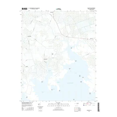
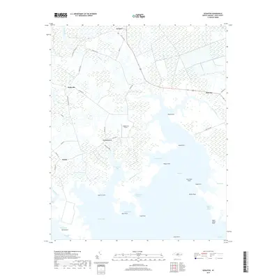
(10)- 1951 Map of Scranton, 1953 Print
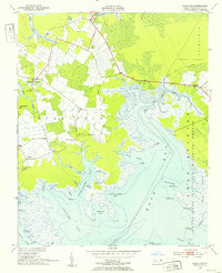 1951 Scranton1953 Print · USGSHyde County's coastal reaches are documented here in the early fifties, showing a landscape defined by the Pamlico River and vast marshlands. Genealogists can locate family landmarks like Weeping Mary Ch, the County Training Sch, and the small settlement of Sladesville.2 unique versions available
 - 1953 Map of Rocky Mount, 1964 Print
 1953 Rocky Mount1964 Print · USGSEastern North Carolina in the mid-fifties is defined by its deep river basins and the vast wetlands of the Tidewater. Genealogists can trace family roots through hubs like Kinston and New Bern or explore the wilderness of Pettigrew State Park and Lake Mattamuskeet.4 unique versions available
 - 1954 Map of Rocky Mount
 1954 Rocky Mount1954 Print · USGSEastern North Carolina is mapped in the mid-fifties, showing a landscape of sounds, swamps, and steam-era rail lines. Genealogists can trace the rural road networks and rail spurs connecting towns like Tarboro, Greenville, and the remote Columbia.
 - 1985 Map of Bayboro, 1990 Print
 1985 Bayboro1990 Print · USGSCoastal Pamlico and Beaufort counties are shown in the mid-eighties as a maritime landscape of protected wetlands and river-mouth settlements. Researchers can trace the layout of waterfront towns like Oriental, Bayboro, and the historic village of Bath amidst the Pamlico Sound.
 - 2002 Map of Scranton
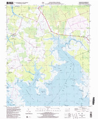 2002 Scranton2002 Print · USGSCoastal Hyde County at the start of the millennium shows a landscape defined by its intricate shoreline and maritime history. Genealogists and local historians can trace community roots through numerous landmarks like County Training Sch, Zion Ch, and the settlement of Germantown.
 - 2010 Map of Scranton, 2010 Print
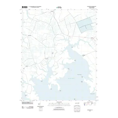 2010 Scranton2010 Print · USGSCovers Rose Bay, including Germantown, Scranton, and other nearby areas
 - 2013 Map of Scranton, 2013 Print
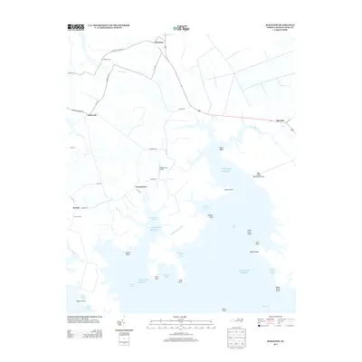 2013 Scranton2013 Print · USGSCovers Rose Bay, including Germantown, Scranton, and other nearby areas
 - 2016 Map of Scranton, 2016 Print
 2016 Scranton2016 Print · USGSCovers Rose Bay, including Germantown, Scranton, and other nearby areas
 - 2019 Map of Scranton, 2019 Print
 2019 Scranton2019 Print · USGSCovers Rose Bay, including Germantown, Scranton, and other nearby areas
 - 2022 Map of Scranton, 2022 Print
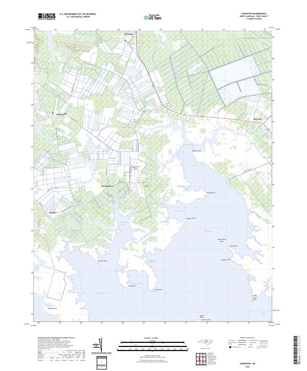 2022 Scranton2022 Print · USGSThe coastal marshes of Hyde County are documented here in recent years, showing a landscape defined by sound-side inlets and small settlements. Trace family lands and local geography near Scranton, Sladesville, and the waters of Spencer Bay.
End of results
Showing maps 1-10 of 10
Top cities near Rose Bay
Frequently asked questions
- What are the different types of historical maps available for Rose Bay?
- What is the oldest map of Rose Bay?
- Where can I purchase historical maps of Rose Bay for my home or office?
- Where can I download high-res historical maps of Rose Bay?
- Are there historical topographic maps available for Rose Bay?
- Is there historical aerial imagery available for Rose Bay?
- Where are historical maps of Rose Bay sourced from?