Old Maps of High Hampton, North Carolina for Genealogy
Trace your family roots with 17 historic maps of High Hampton. These high-res maps reveal old neighborhoods, homesites, landmarks, and streets — helping you uncover where your ancestors lived and how the area evolved over time.
- Explore historic neighborhoods: Identify where your relatives may have lived in the 1800s or 1900s.
- Compare maps over time: Trace the changes in streets, buildings, and landmarks for multi-generational research.
- Perfect for genealogy & ancestry research: Used by family historians and researchers to map out lineage and migration.
These maps are an incredible resource for exploring your personal connection to High Hampton's past.
High Hampton, NC maps
(17)- 1891 Map of Cowee
 1891 Cowee1891 Print · USGSWestern North Carolina's high mountain reaches are captured here in the late nineteenth century as the railroad began to transform the region. Trace early transport routes like the Western North Carolina Railroad and Cowee Tunnel alongside old settlements at Franklin and Quallatown.
 - 1897 Map of Cowee
 1897 Cowee1897 Print · USGSThe Great Smoky Mountains and Blue Ridge foothills appear here in the 1890s, when the railroad first began to penetrate the high gaps. Trace family roots and mountain industry through old settlements like Quallatown, Sylva, and the Cowee Tunnel engineering site.4 unique versions available
 - 1907 Map of Cowee
 1907 Cowee1907 Print · USGSWestern North Carolina at the turn of the century shows a landscape of rail-connected river towns and high mountain gaps. Genealogists can trace early homesteads and industry through landmarks like West Mill, Roanes Mill, and the many settlements along the Southern Railway.5 unique versions available
 - 1935 Map of Cashiers
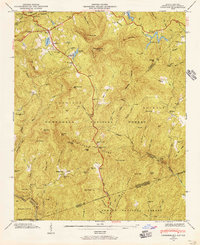
 1935 Cashiers1935 Print · USGSJackson County and the North Carolina-South Carolina border appear here in the mid-1930s as modern surveying techniques were first being applied. Researchers can trace early state infrastructure such as St Hy No 106 as it passes through the Nantahala National Forest.
 - 1946 Map of Cashiers, 1957 Print
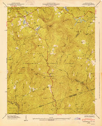
 1946 Cashiers1957 Print · USGSJackson County high country comes alive in the mid-1940s, showcasing the intersection of the Blue Ridge and the Tennessee Divide. Genealogists and historians can locate family landmarks like Upper Zachary Cem, Montvale Sch, and the community of Grimshawes.5 unique versions available
 - 1947 Map of Cashiers
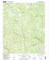
 1947 Cashiers1947 Print · USGSThe Blue Ridge high country of Jackson County is meticulously detailed here in the late 1940s, centered on the Cashiers plateau. Genealogists can locate family sites like Upper Zachary Cem, the rural Montvale Sch, and the remote junction at Ellicott Rock.2 unique versions available
 - 1955 Map of Knoxville
 1955 Knoxville1955 Print · USGSThe Southern Appalachians and the Smoky Mountains are shown here at a peak of mid-century development and conservation. Genealogists and historians can trace the early road networks connecting Gatlinburg, Waynesville, and the Cherokee Indian Reservation across the high ridges.
 - 1957 Map of Knoxville, 1966 Print
 1957 Knoxville1966 Print · USGSThe Southern Appalachians of Tennessee and North Carolina are mapped here during the mid-twentieth century as new highways reached the high country. Genealogists and historians can trace the topography between Knoxville and Asheville, locating family landmarks near Fontana Lake or along the Blue Ridge Parkway.4 unique versions available
 - 1960 Map of Knoxville
 1960 Knoxville1960 Print · USGSThe Southern Appalachians come alive in the 1950s, showing the intersection of new national park tourism and deep-rooted mountain industry. Trace old rail lines like the Clinchfield RR and find high-altitude landmarks from Mt Le Conte to the Cherokee Indian Reservation.2 unique versions available
 - 1964 Map of Knoxville
 1964 Knoxville1964 Print · USGSThe Southern Appalachians and Great Smokies are captured here during the mid-sixties, showing the rugged borderlands of Tennessee and North Carolina. Researchers can trace historic mountain routes like U S 441, the expanse of Pisgah National Forest, and the growing footprints of Asheville and Knoxville.
 - 1983 Map of Fontana Lake
 1983 Fontana Lake1983 Print · USGSWestern North Carolina's high peaks and reservoir-carved valleys are documented here during the early eighties. Genealogists and local historians can trace the mountain communities of Bryson City and Franklin or explore the boundaries of the Qualla Boundary.2 unique versions available
 - 1997 Map of Cashiers, 2001 Print
 1997 Cashiers2001 Print · USGSThe Blue Ridge high country near the turn of the millennium shows a landscape of deep family roots and protected wilderness. Genealogists can trace local history through sites like Upper Zachary Cem, Heady Mountain Ch, and the settlement at Bohaynee.
 - 2011 Map of Cashiers, 2011 Print
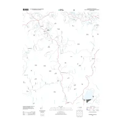
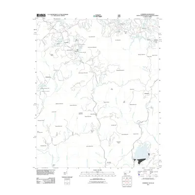 2011 Cashiers2011 Print · USGSCovers High Hampton, including Cashiers, Sapphire, and other nearby areas
 - 2013 Map of Cashiers, 2013 Print
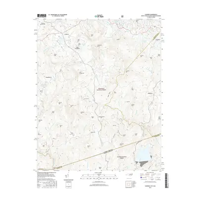
 2013 Cashiers2013 Print · USGSCovers High Hampton, including Cashiers, Sapphire, and other nearby areas
 - 2016 Map of Cashiers, 2016 Print
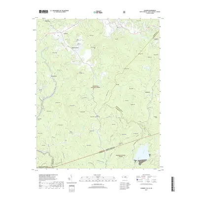
 2016 Cashiers2016 Print · USGSCovers High Hampton, including Cashiers, Sapphire, and other nearby areas
 - 2019 Map of Cashiers, 2019 Print
 2019 Cashiers2019 Print · USGSCovers High Hampton, including Cashiers, Sapphire, and other nearby areas
 - 2022 Map of Cashiers, 2022 Print
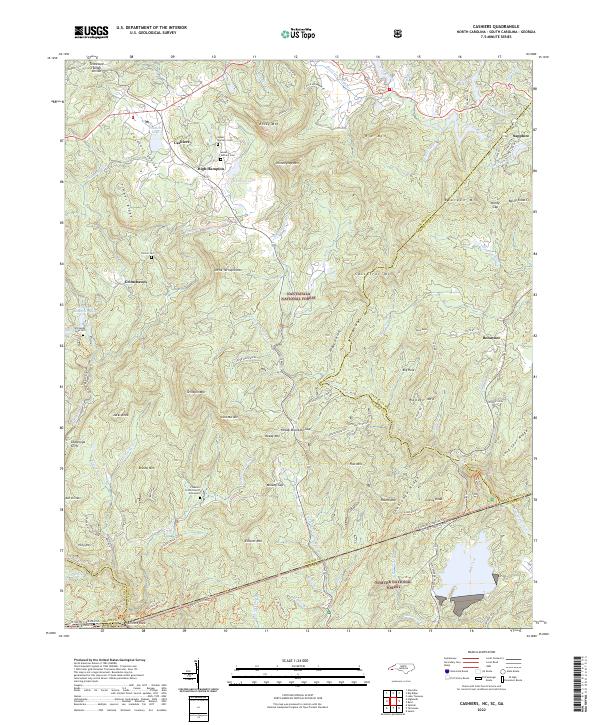 2022 Cashiers2022 Print · USGSHigh-altitude settlements in the Blue Ridge Mountains are documented here in the early twenty-first century. Genealogists and local historians can locate Upper Zachary Cem, Heady Mtn Church, and the tri-state boundary at Ellicott Rock.
End of results
Showing maps 1-17 of 17
Top cities near High Hampton
Frequently asked questions
- What are the different types of historical maps available for High Hampton?
- What is the oldest map of High Hampton?
- Where can I purchase historical maps of High Hampton for my home or office?
- Where can I download high-res historical maps of High Hampton?
- Are there historical topographic maps available for High Hampton?
- Is there historical aerial imagery available for High Hampton?
- Where are historical maps of High Hampton sourced from?