2000s (21st Century) Maps of Sylva, North Carolina
Explore 11 historic maps of Sylva from the 2000s (21st Century). These maps offer a rare glimpse into what life looked like during the 2000s — showing old roads, neighborhoods, homes, and landmarks that have changed or disappeared over time.
Whether you're researching your family's past, planning a metal detecting trip, or studying how Sylva's landscape evolved across the 2000s, these high-resolution maps are a powerful tool for exploring the history of this region.
- Focus on a specific era: All maps on this page are from the 2000s, giving you a focused view of this time period.
- See what’s changed: Compare century-old streets, trails, and buildings to today's modern landscape using overlays and satellite layers.
- Research with precision: Use these maps for genealogy, historical research, land use analysis, or educational projects.
- View, download, or print: Maps are fully viewable online in high resolution, and can be downloaded or printed for your own records.
Start exploring Sylva's history through authentic maps from the 2000s. This is your window into the past.
Sylva, NC maps
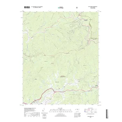
(11)- 2000 Map of Sylva South, 2001 Print
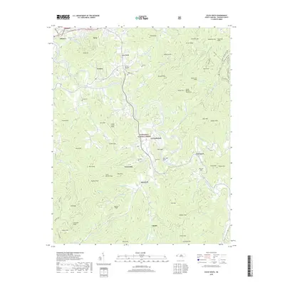
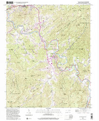 2000 Sylva South2001 Print · USGSJackson County at the turn of the millennium shows a fascinating mix of academic expansion and deep-rooted mountain heritage along the Tuckasegee River. Genealogists and local historians can trace the footprint of Western Carolina University alongside family landmarks like Parris Cem and the village of Webster.
 - 2011 Map of Sylva South, 2011 Print
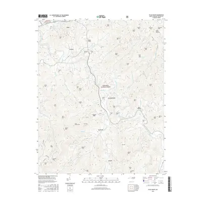
 2011 Sylva South2011 Print · USGSCovers Sylva, including Cullowhee, Webster, and other nearby areas
 - 2011 Map of Sylva North, 2011 Print
 2011 Sylva North2011 Print · USGSCovers Sylva, including Addie, Fisher Creek, and other nearby areas
 - 2013 Map of Sylva South, 2013 Print
 2013 Sylva South2013 Print · USGSCovers Sylva, including Cullowhee, Webster, and other nearby areas
 - 2013 Map of Sylva North, 2013 Print
 2013 Sylva North2013 Print · USGSCovers Sylva, including Addie, Fisher Creek, and other nearby areas
 - 2016 Map of Sylva South, 2016 Print
 2016 Sylva South2016 Print · USGSCovers Sylva, including Cullowhee, Webster, and other nearby areas
 - 2016 Map of Sylva North, 2016 Print
 2016 Sylva North2016 Print · USGSCovers Sylva, including Addie, Fisher Creek, and other nearby areas
 - 2019 Map of Sylva South, 2019 Print
 2019 Sylva South2019 Print · USGSCovers Sylva, including Cullowhee, Webster, and other nearby areas
 - 2019 Map of Sylva North, 2019 Print
 2019 Sylva North2019 Print · USGSCovers Sylva, including Addie, Fisher Creek, and other nearby areas
 - 2022 Map of Sylva North, 2022 Print
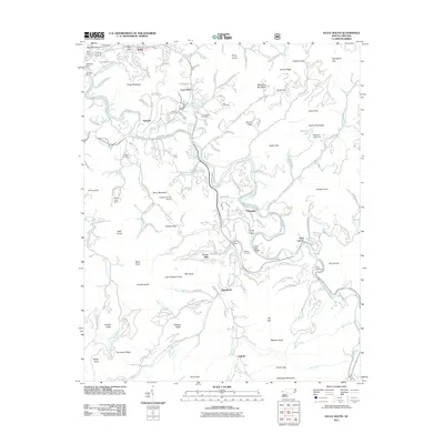
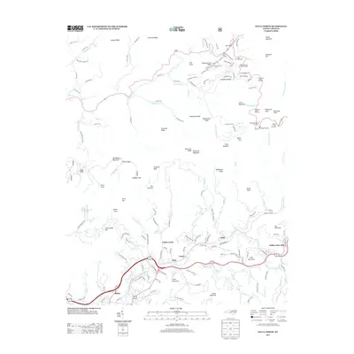
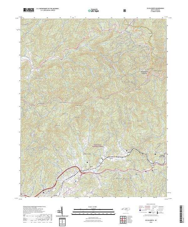 2022 Sylva North2022 Print · USGSSylva and the surrounding Balsam Mountains are captured here in the early twenty-first century as modern transit corridors follow the paths of historic valley settlements. Researchers can trace family history through numerous mountain burial sites like Dills Cem or Henry Cogdill Cem and locate the Jackson County Courthouse.
 - 2022 Map of Sylva South, 2022 Print
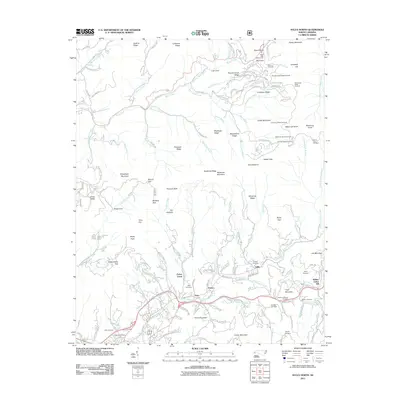
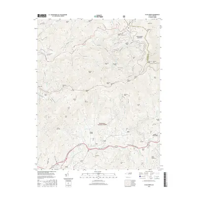
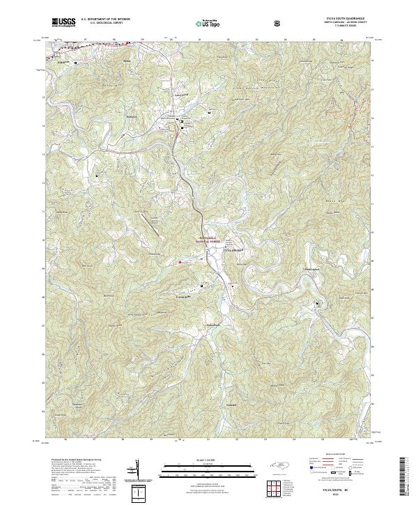 2022 Sylva South2022 Print · USGSJackson County’s academic and mountain heritage is centered on Cullowhee and the Tuckasegee River corridor in the early 2020s. Researchers can locate family heritage sites like Lovedale Baptist Church Cem and Ash Cem among the ridges of the Great Balsam Mountains.
End of results
Showing maps 1-11 of 11
Top cities near Sylva
- Waynesville historical maps
- Cullowhee historical maps
- Franklin historical maps
- Cherokee historical maps
- Bryson City historical maps
- Maggie Valley historical maps
See more
Top neighborhoods of Sylva
Frequently asked questions
- What are the different types of historical maps available for Sylva?
- What is the oldest map of Sylva?
- Where can I purchase historical maps of Sylva for my home or office?
- Where can I download high-res historical maps of Sylva?
- Are there historical topographic maps available for Sylva?
- Is there historical aerial imagery available for Sylva?
- Where are historical maps of Sylva sourced from?