Old Maps of Sylva, North Carolina for Hiking & Exploration
Hike through history with 25 historic maps of Sylva. Explore old trails, ghost towns, and forgotten backroads — perfect for outdoor adventurers and local explorers.
- Rediscover forgotten places: Map out old mining camps, roads, and footpaths that no longer exist on modern maps.
- Layer with modern tools: Combine with LiDAR or satellite views to plan hikes through historical terrain.
- Made for exploration: Popular among hikers, overlanders, and local history lovers.
Use these maps to find adventure and explore the hidden past of Sylva.
Sylva, NC maps
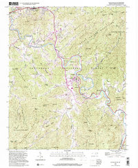
(25)- 1891 Map of Cowee
 1891 Cowee1891 Print · USGSWestern North Carolina's high mountain reaches are captured here in the late nineteenth century as the railroad began to transform the region. Trace early transport routes like the Western North Carolina Railroad and Cowee Tunnel alongside old settlements at Franklin and Quallatown.
 - 1897 Map of Cowee
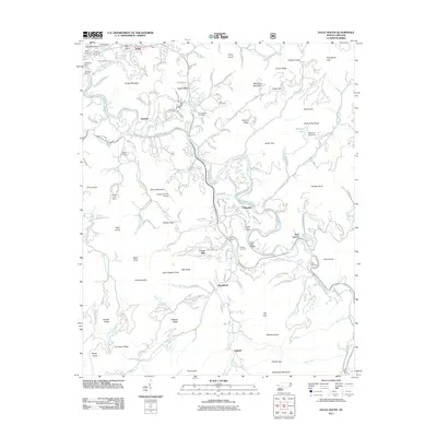
 1897 Cowee1897 Print · USGSThe Great Smoky Mountains and Blue Ridge foothills appear here in the 1890s, when the railroad first began to penetrate the high gaps. Trace family roots and mountain industry through old settlements like Quallatown, Sylva, and the Cowee Tunnel engineering site.4 unique versions available
 - 1907 Map of Cowee
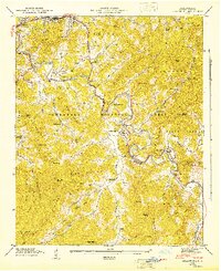
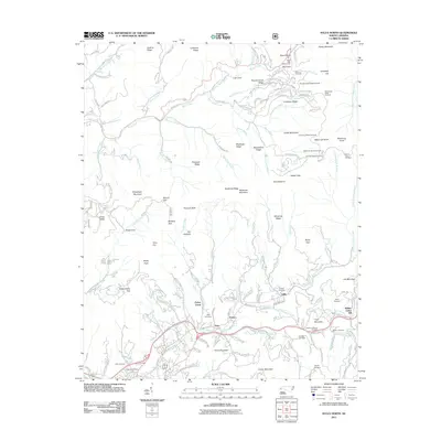
 1907 Cowee1907 Print · USGSWestern North Carolina at the turn of the century shows a landscape of rail-connected river towns and high mountain gaps. Genealogists can trace early homesteads and industry through landmarks like West Mill, Roanes Mill, and the many settlements along the Southern Railway.5 unique versions available
 - 1935 Map of Cullowhee
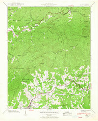
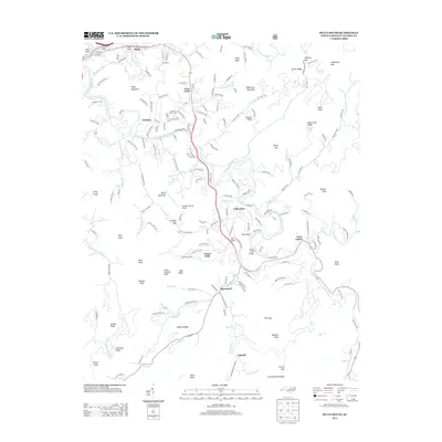
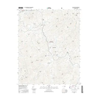
 1935 Cullowhee1935 Print · USGSJackson County during the mid-thirties reveals a mountain landscape anchored by the Western Carolina Teachers College and the winding Tuckasegee River. Local historians can trace old community landmarks including the County Farm, East Laport, and rural schools like Bryson Sch.
 - 1935 Map of Addie
 1935 Addie1935 Print · USGSThe Balsam Mountains and the Qualla Indian Reservation define this Jackson County landscape in the mid-thirties. Family historians can trace the Southern RR line to find rural community hubs like Beta, Scott Creek Sch, and Buff Creek Ch.
 - 1941 Map of Addie
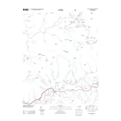
 1941 Addie1941 Print · USGSJackson County's mountain settlements and rail corridors are captured here just before the mid-century, centered on the Southern railroad route. Researchers can trace family sites like Norman Cem or locate community centers at Liberty Sch and Ochre Hill Ch.2 unique versions available
 - 1942 Map of Addie
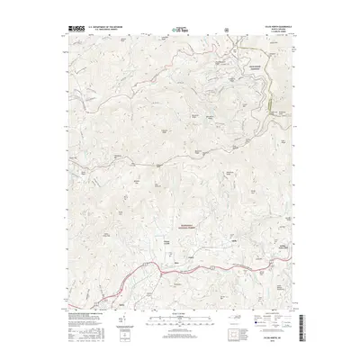
 1942 Addie1942 Print · USGSJackson County's mountain communities and the Southern railroad corridor are captured here in the early 1940s. Researchers can locate family landmarks like Norman Cem or trace the early development of Sylva, Addie, and Willits.
 - 1946 Map of Cullowhee, 1947 Print
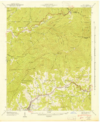
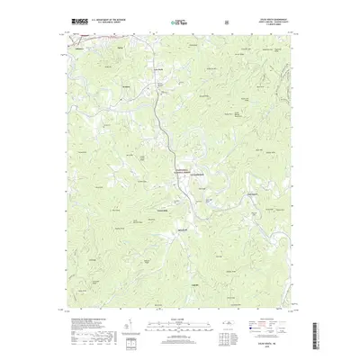
 1946 Cullowhee1947 Print · USGSThe Tuckasegee River valley thrives shortly after the war, centered on the campus of Western Carolina Teachers College and the railroad hub at Sylva. Genealogists and historians can trace old homesteads and family burials at Parris Cem, Stillwell Cem, and the settlement at East Laport.8 unique versions available
 - 1955 Map of Knoxville
 1955 Knoxville1955 Print · USGSThe Southern Appalachians and the Smoky Mountains are shown here at a peak of mid-century development and conservation. Genealogists and historians can trace the early road networks connecting Gatlinburg, Waynesville, and the Cherokee Indian Reservation across the high ridges.
 - 1957 Map of Knoxville, 1966 Print
 1957 Knoxville1966 Print · USGSThe Southern Appalachians of Tennessee and North Carolina are mapped here during the mid-twentieth century as new highways reached the high country. Genealogists and historians can trace the topography between Knoxville and Asheville, locating family landmarks near Fontana Lake or along the Blue Ridge Parkway.4 unique versions available
 - 1960 Map of Knoxville
 1960 Knoxville1960 Print · USGSThe Southern Appalachians come alive in the 1950s, showing the intersection of new national park tourism and deep-rooted mountain industry. Trace old rail lines like the Clinchfield RR and find high-altitude landmarks from Mt Le Conte to the Cherokee Indian Reservation.2 unique versions available
 - 1964 Map of Knoxville
 1964 Knoxville1964 Print · USGSThe Southern Appalachians and Great Smokies are captured here during the mid-sixties, showing the rugged borderlands of Tennessee and North Carolina. Researchers can trace historic mountain routes like U S 441, the expanse of Pisgah National Forest, and the growing footprints of Asheville and Knoxville.
 - 1967 Map of Sylva North, 1970 Print
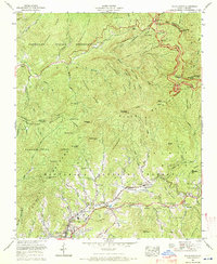 1967 Sylva North1970 Print · USGSJackson County and the Cherokee Indian Reservation are shown during a period of mid-century growth and mountain travel. Genealogists can trace family names at Keener Cem and Sutton Cem or locate community hubs like Addie and Scotts Creek School.3 unique versions available
 - 1983 Map of Fontana Lake
 1983 Fontana Lake1983 Print · USGSWestern North Carolina's high peaks and reservoir-carved valleys are documented here during the early eighties. Genealogists and local historians can trace the mountain communities of Bryson City and Franklin or explore the boundaries of the Qualla Boundary.2 unique versions available
 - 2000 Map of Sylva South, 2001 Print
 2000 Sylva South2001 Print · USGSJackson County at the turn of the millennium shows a fascinating mix of academic expansion and deep-rooted mountain heritage along the Tuckasegee River. Genealogists and local historians can trace the footprint of Western Carolina University alongside family landmarks like Parris Cem and the village of Webster.
 - 2011 Map of Sylva South, 2011 Print
 2011 Sylva South2011 Print · USGSCovers Sylva, including Cullowhee, Webster, and other nearby areas
 - 2011 Map of Sylva North, 2011 Print
 2011 Sylva North2011 Print · USGSCovers Sylva, including Addie, Fisher Creek, and other nearby areas
 - 2013 Map of Sylva South, 2013 Print
 2013 Sylva South2013 Print · USGSCovers Sylva, including Cullowhee, Webster, and other nearby areas
 - 2013 Map of Sylva North, 2013 Print
 2013 Sylva North2013 Print · USGSCovers Sylva, including Addie, Fisher Creek, and other nearby areas
 - 2016 Map of Sylva South, 2016 Print
 2016 Sylva South2016 Print · USGSCovers Sylva, including Cullowhee, Webster, and other nearby areas
 - 2016 Map of Sylva North, 2016 Print
 2016 Sylva North2016 Print · USGSCovers Sylva, including Addie, Fisher Creek, and other nearby areas
 - 2019 Map of Sylva South, 2019 Print
 2019 Sylva South2019 Print · USGSCovers Sylva, including Cullowhee, Webster, and other nearby areas
 - 2019 Map of Sylva North, 2019 Print
 2019 Sylva North2019 Print · USGSCovers Sylva, including Addie, Fisher Creek, and other nearby areas
 - 2022 Map of Sylva North, 2022 Print
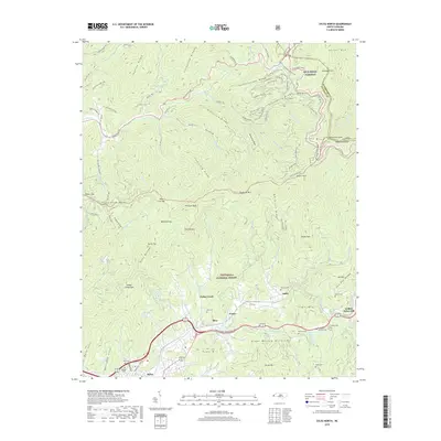
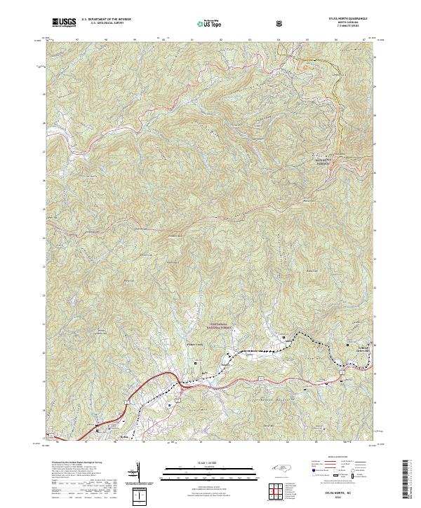 2022 Sylva North2022 Print · USGSSylva and the surrounding Balsam Mountains are captured here in the early twenty-first century as modern transit corridors follow the paths of historic valley settlements. Researchers can trace family history through numerous mountain burial sites like Dills Cem or Henry Cogdill Cem and locate the Jackson County Courthouse.
 - 2022 Map of Sylva South, 2022 Print
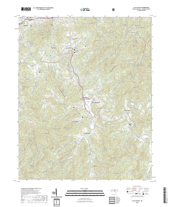 2022 Sylva South2022 Print · USGSJackson County’s academic and mountain heritage is centered on Cullowhee and the Tuckasegee River corridor in the early 2020s. Researchers can locate family heritage sites like Lovedale Baptist Church Cem and Ash Cem among the ridges of the Great Balsam Mountains.
End of results
Showing maps 1-25 of 25
Top cities near Sylva
- Waynesville historical maps
- Cullowhee historical maps
- Franklin historical maps
- Cherokee historical maps
- Bryson City historical maps
- Maggie Valley historical maps
See more
Top neighborhoods of Sylva
Frequently asked questions
- What are the different types of historical maps available for Sylva?
- What is the oldest map of Sylva?
- Where can I purchase historical maps of Sylva for my home or office?
- Where can I download high-res historical maps of Sylva?
- Are there historical topographic maps available for Sylva?
- Is there historical aerial imagery available for Sylva?
- Where are historical maps of Sylva sourced from?