Old Maps of Benson, North Carolina
Explore 17 old maps of Benson, spanning from 1953 to today. These high-resolution historic maps reveal how streets, neighborhoods, landmarks, and natural features evolved over time — perfect for genealogy, metal detecting, research, and local history exploration.
What you can do with these maps:
- See how Benson changed over time: Compare historical maps to modern-day views to trace roads, homesites, rail lines & more.
- View detailed metadata: Each map includes creators, publishers, year, scale, and archive source.
- Overlay maps with satellite & LiDAR: Visualize the past alongside modern tools to explore terrain & human change.
- Trusted historical sources: Maps sourced from the USGS, Library of Congress, and other archives.
- Access maps your way: View online, download high-res files, or order prints for personal or research use.
Start exploring old maps of Benson to uncover forgotten places, hidden landmarks, and the deep history beneath your feet.
Benson, NC maps
(17)- 1953 Map of Raleigh, 1965 Print
 1953 Raleigh1965 Print · USGSCentral North Carolina in the early sixties shows a landscape of growing towns and military hubs before the full expansion of the interstate system. Genealogists can trace family footprints across the Piedmont through Wake Forest, Siler City, and the large Fort Bragg Military Reservation.4 unique versions available
 - 1954 Map of Raleigh
 1954 Raleigh1954 Print · USGSThe North Carolina Piedmont and Sandhills are captured in the mid-fifties during a period of steady regional growth. Genealogists and historians can trace the development of towns like Siler City or locate landmarks such as Falls of Neuse and Camp Mackall.
 - 1973 Map of Benson, 1975 Print
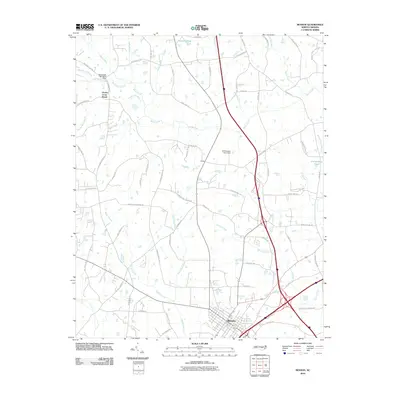
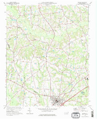 1973 Benson1975 Print · USGSBenson and the surrounding Johnston County countryside are captured here in the early seventies during a period of steady rural development. Genealogists can trace family landmarks like Hardee Cross Roads, Stevens Chapel, and the Drive-in Theater.2 unique versions available
 - 1973 Map of Dunn, 1975 Print
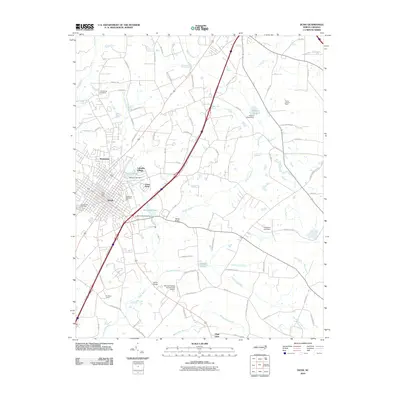
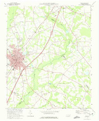 1973 Dunn1975 Print · USGSDunn and Benson were thriving railroad and agricultural hubs in the early 1970s. Genealogists and local historians can trace family church roots at Jonesboro Ch and Mingo Hill Ch or locate landmarks like the Young Lookout Tower.2 unique versions available
 - 1986 Map of Fayetteville
 1986 Fayetteville1986 Print · USGSThe North Carolina coastal plain appears in the mid-1980s as a bustling corridor of military installations and historic tobacco towns. Genealogists and historians can trace the footprints of Fort Bragg Military Reservation, Campbell University, and the rail lines of the Seaboard Coast Line RR.2 unique versions available
 - 1997 Map of Benson, 2000 Print
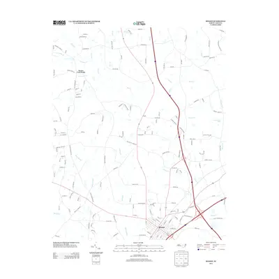
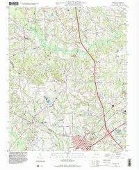 1997 Benson2000 Print · USGSBenson and its rural surroundings in Johnston County were undergoing modern development during the late nineties. Researchers can find numerous family-named sites and country churches, including Hardee Cross Roads, Stevens Chapel, and Hannah Creek Ch.
 - 1997 Map of Dunn, 2000 Print
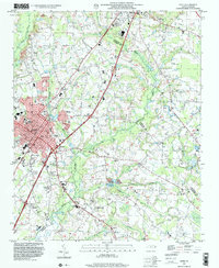 1997 Dunn2000 Print · USGSThe area surrounding Dunn and Benson is captured in the late nineties, documenting a landscape of rural crossroads and established schools. Researchers can trace family sites at Mary Stewart Sch, Savannah Hill Ch, or the Mingo Primitive Ch.
 - 2010 Map of Benson, 2010 Print
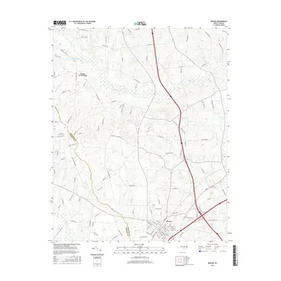
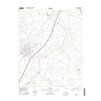
 2010 Benson2010 Print · USGSCovers Benson, including Hardee Cross Roads, Johnston County, and other nearby areas
 - 2010 Map of Dunn, 2010 Print
 2010 Dunn2010 Print · USGSCovers Benson, including Dunn, Grove Park, and other nearby areas
 - 2013 Map of Benson, 2013 Print
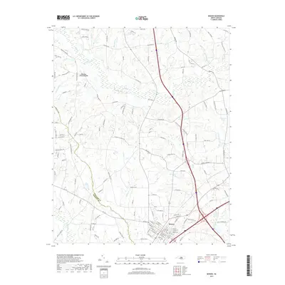
 2013 Benson2013 Print · USGSCovers Benson, including Hardee Cross Roads, Johnston County, and other nearby areas
 - 2013 Map of Dunn, 2013 Print
 2013 Dunn2013 Print · USGSCovers Benson, including Dunn, Grove Park, and other nearby areas
 - 2016 Map of Benson, 2016 Print
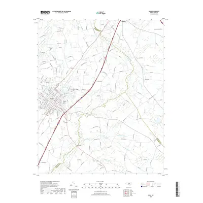
 2016 Benson2016 Print · USGSCovers Benson, including Hardee Cross Roads, Johnston County, and other nearby areas
 - 2016 Map of Dunn, 2016 Print
 2016 Dunn2016 Print · USGSCovers Benson, including Dunn, Grove Park, and other nearby areas
 - 2019 Map of Benson, 2019 Print
 2019 Benson2019 Print · USGSCovers Benson, including Hardee Cross Roads, Johnston County, and other nearby areas
 - 2019 Map of Dunn, 2019 Print
 2019 Dunn2019 Print · USGSCovers Benson, including Dunn, Grove Park, and other nearby areas
 - 2022 Map of Benson, 2022 Print
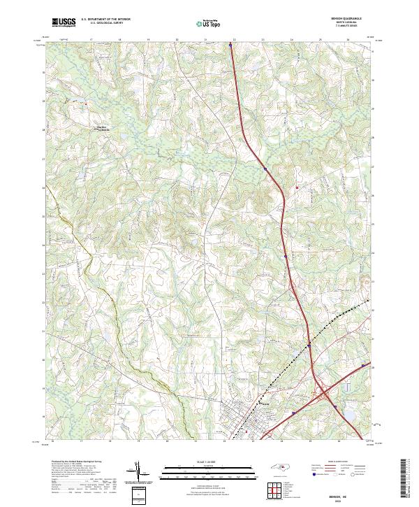 2022 Benson2022 Print · USGSBenson and its surrounding Johnston County farmland are captured here in the early twenty-first century, showing the town's growth alongside traditional rural crossroads. Genealogists and local historians can trace family-named landmarks like Lassiter Pond and the small community at Hardee Cross Roads.
 - 2022 Map of Dunn, 2022 Print
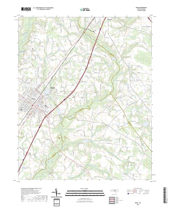 2022 Dunn2022 Print · USGSThe transition from the Piedmont to the Coastal Plain is evident in this recent look at Dunn and Benson. Researchers can trace the layout of local institutions like Heritage Bible College and community landmarks such as Greenwood Cem.
End of results
Showing maps 1-17 of 17
Top cities near Benson
- Fuquay-Varina historical maps
- Clayton historical maps
- Smithfield historical maps
- Dunn historical maps
- Selma historical maps
- Erwin historical maps
See more
Frequently asked questions
- What are the different types of historical maps available for Benson?
- What is the oldest map of Benson?
- Where can I purchase historical maps of Benson for my home or office?
- Where can I download high-res historical maps of Benson?
- Are there historical topographic maps available for Benson?
- Is there historical aerial imagery available for Benson?
- Where are historical maps of Benson sourced from?