Old Maps of Crockers Nub, North Carolina for Genealogy
Trace your family roots with 8 historic maps of Crockers Nub. These high-res maps reveal old neighborhoods, homesites, landmarks, and streets — helping you uncover where your ancestors lived and how the area evolved over time.
- Explore historic neighborhoods: Identify where your relatives may have lived in the 1800s or 1900s.
- Compare maps over time: Trace the changes in streets, buildings, and landmarks for multi-generational research.
- Perfect for genealogy & ancestry research: Used by family historians and researchers to map out lineage and migration.
These maps are an incredible resource for exploring your personal connection to Crockers Nub's past.
Crockers Nub, NC maps
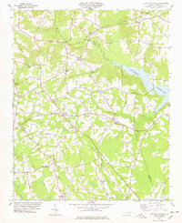
(8)- 1902 Map of Kenly
 1902 Kenly1902 Print · USGSCovers Crockers Nub, including Wilson, Pine Level, and other nearby areas2 unique versions available
 - 1903 Map of Kenly
 1903 Kenly1903 Print · USGSCovers Crockers Nub, including Wilson, Pine Level, and other nearby areas2 unique versions available
 - 1953 Map of Raleigh, 1965 Print
 1953 Raleigh1965 Print · USGSCovers Crockers Nub, including Raleigh, Greensboro, and other nearby areas4 unique versions available
 - 1954 Map of Raleigh
 1954 Raleigh1954 Print · USGSCovers Crockers Nub, including Raleigh, Greensboro, and other nearby areas
 - 1978 Map of Stancils Chapel
 1978 Stancils Chapel1978 Print · USGSCovers Crockers Nub, including Shoeheel, Moores Crossroads, and other nearby areas
 - 1984 Map of Raleigh, 1985 Print
 1984 Raleigh1985 Print · USGSCovers Crockers Nub, including Raleigh, Durham, and other nearby areas
 - 1990 Map of Raleigh, 1991 Print
 1990 Raleigh1991 Print · USGSCovers Crockers Nub, including Raleigh, Durham, and other nearby areas2 unique versions available
 - 2022 Map of Stancils Chapel, 2022 Print
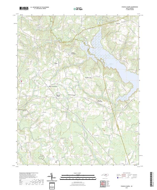 2022 Stancils Chapel2022 Print · USGSCovers Crockers Nub, including Heflin, Dixie Crossroads, and other nearby areas
End of results
Showing maps 1-8 of 8
Top cities near Crockers Nub
- Wilson historical maps
- Clayton historical maps
- Smithfield historical maps
- Wendell historical maps
- Zebulon historical maps
- Selma historical maps
See more
Frequently asked questions
- What are the different types of historical maps available for Crockers Nub?
- What is the oldest map of Crockers Nub?
- Where can I purchase historical maps of Crockers Nub for my home or office?
- Where can I download high-res historical maps of Crockers Nub?
- Are there historical topographic maps available for Crockers Nub?
- Is there historical aerial imagery available for Crockers Nub?
- Where are historical maps of Crockers Nub sourced from?