Old Maps of Magnolia, North Carolina for Academic Research
Study the evolution of Magnolia with 12 high-resolution historic maps. Whether you're teaching, researching, or modeling changes in land use, these maps provide essential visual documentation of urban, environmental, and geographic change.
- Analyze long-term change: Track patterns in development, transportation, and natural features.
- Ideal for environmental or urban studies: Support academic projects with primary historical map data.
- Use in the classroom or lab: Educators and researchers rely on these maps to bring historical context to life.
These maps are a powerful tool for teaching, research, and visualizing how Magnolia has changed over the decades.
Magnolia, NC maps
(12)- 1953 Map of Raleigh, 1965 Print
 1953 Raleigh1965 Print · USGSCentral North Carolina in the early sixties shows a landscape of growing towns and military hubs before the full expansion of the interstate system. Genealogists can trace family footprints across the Piedmont through Wake Forest, Siler City, and the large Fort Bragg Military Reservation.4 unique versions available
 - 1954 Map of Raleigh
 1954 Raleigh1954 Print · USGSThe North Carolina Piedmont and Sandhills are captured in the mid-fifties during a period of steady regional growth. Genealogists and historians can trace the development of towns like Siler City or locate landmarks such as Falls of Neuse and Camp Mackall.
 - 1964 Map of Selma, 1965 Print
 1964 Selma1965 Print · USGSEastern Johnston County flourished as a rail and river hub in the mid-sixties, dominated by the crossing of the Neuse River. Researchers can trace old family sites and crossroads from Archers Lodge to Pine Level, including the Harrison High Sch and Branch Chapel.
 - 1964 Map of Clayton, 1965 Print
 1964 Clayton1965 Print · USGSThe Neuse River valley in Johnston and Wake Counties is captured here in the mid-1960s, showing the early expansion of the Clayton area. Researchers can locate numerous family burial sites like Stephenson Cem and rural centers such as Archers Lodge and Shotwell.3 unique versions available
 - 1984 Map of Raleigh, 1985 Print
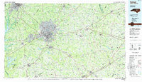 1984 Raleigh1985 Print · USGSThe North Carolina Research Triangle is shown during a decade of rapid growth, from the sprawl of Raleigh to the expanding waters of Falls Lake. Genealogists and historians can trace rail lines like the Seaboard Coast Line or locate landmark sites like Dorothea Dix State Hospital and Fuquay-Varina.
 - 1990 Map of Raleigh, 1991 Print
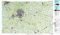 1990 Raleigh1991 Print · USGSGreater Raleigh and the Research Triangle entered a period of significant suburban growth during the 1990s. Researchers can trace the development of towns like Fuquay-Varina and Wake Forest or locate landmarks such as the State Prison and Harris Reservoir.2 unique versions available
 - 1993 Map of Clayton, 1999 Print
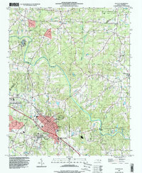 1993 Clayton1999 Print · USGSMid-century Johnston and Wake counties come alive here, showing the river-and-rail economy as it stood before modern suburban expansion. Genealogists can trace family roots through numerous local landmarks, from Cooper High Sch to the quiet Stephenson Cem and Clydes Chapel.
 - 2010 Map of Clayton, 2010 Print
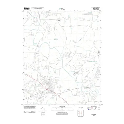 2010 Clayton2010 Print · USGSClayton and its surrounding Johnston County communities are captured here in a period of suburban expansion. Genealogists and local historians can trace family plots and landmarks such as Maplewood Cemetery, the Pythian Home, and Baucoms Bridge along the Neuse River.
 - 2013 Map of Clayton, 2013 Print
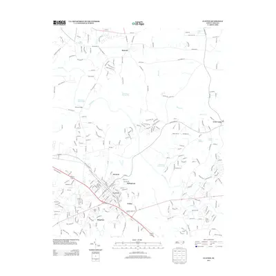 2013 Clayton2013 Print · USGSClayton and its Johnston County surroundings are captured in this contemporary survey during a period of rapid suburban growth. Researchers can trace the development of neighborhoods like Starmont and Brigadoon or locate the Pythian Home along the Neuse River.
 - 2016 Map of Clayton, 2016 Print
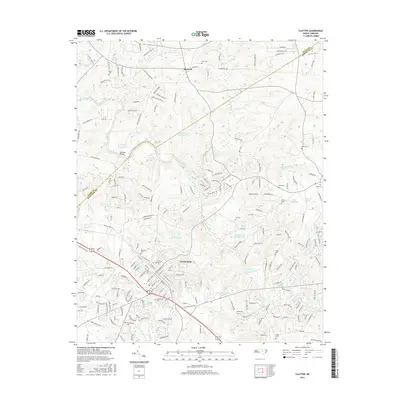 2016 Clayton2016 Print · USGSThe town of Clayton and the surrounding Johnston County countryside are shown here during a period of steady growth along the Neuse River. Local historians and genealogists can locate several family burial sites, including Stephenson Cem and Wodd Cem, or trace old water features like Yates Millpond.
 - 2019 Map of Clayton, 2019 Print
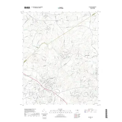 2019 Clayton2019 Print · USGSThe Neuse River valley in Johnston and Wake Counties appears here as a mix of growing towns and established family lands. Researchers can trace local lineage through numerous sites like Maplewood Cem, Little Creek Church, and Yates Millpond.
 - 2022 Map of Clayton, 2022 Print
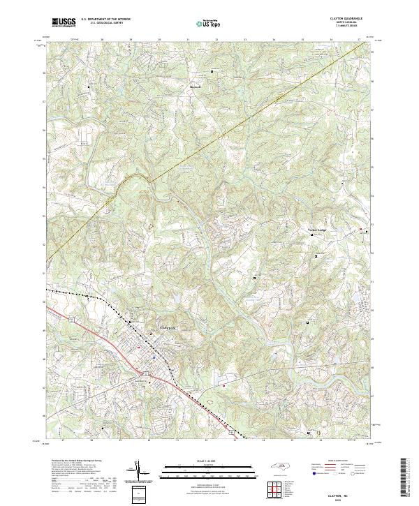 2022 Clayton2022 Print · USGSThe Clayton area of Johnston County is documented here in the early 2020s, showing the intersection of new growth and local heritage. Researchers can locate family sites at Maplewood Cem and Stephenson Cem or trace the river path past Yates Millpond.
End of results
Showing maps 1-12 of 12
Frequently asked questions
- What are the different types of historical maps available for Magnolia?
- What is the oldest map of Magnolia?
- Where can I purchase historical maps of Magnolia for my home or office?
- Where can I download high-res historical maps of Magnolia?
- Are there historical topographic maps available for Magnolia?
- Is there historical aerial imagery available for Magnolia?
- Where are historical maps of Magnolia sourced from?