Old Maps of Debruhls Landing, North Carolina for Hiking & Exploration
Hike through history with 12 historic maps of Debruhls Landing. Explore old trails, ghost towns, and forgotten backroads — perfect for outdoor adventurers and local explorers.
- Rediscover forgotten places: Map out old mining camps, roads, and footpaths that no longer exist on modern maps.
- Layer with modern tools: Combine with LiDAR or satellite views to plan hikes through historical terrain.
- Made for exploration: Popular among hikers, overlanders, and local history lovers.
Use these maps to find adventure and explore the hidden past of Debruhls Landing.
Debruhls Landing, NC maps
(12)- 1901 Map of New Bern, 1961 Print
 1901 New Bern1961 Print · USGSCoastal North Carolina at the turn of the century is a world of river traffic and rail expansion centered on New Bern. Genealogists and local historians can trace old river landings, ferries like Nelsons Old Ferry, and early rail stops at Rhems and Tuscarora.2 unique versions available
 - 1903 Map of New Bern, 1935 Print
 1903 New Bern1935 Print · USGSCoastal North Carolina thrived on river traffic and rail expansion during the first years of the new century. Genealogists and historians can trace the foundations of New Bern and James City alongside early river crossings like Streets Ferry and Nelsons Old Ferry.2 unique versions available
 - 1950 Map of Pollocksville, 1952 Print
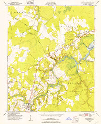 1950 Pollocksville1952 Print · USGSThe Jones and Craven County line comes alive in the 1950s as a network of river landings and coastal plain settlements. Researchers can trace family roots at Wesley Chapel, locate the old Rocky Run Sch, and follow the Atlantic and East Carolina Railroad through the Croatan National Forest.3 unique versions available
 - 1953 Map of Rocky Mount, 1964 Print
 1953 Rocky Mount1964 Print · USGSEastern North Carolina in the mid-fifties is defined by its deep river basins and the vast wetlands of the Tidewater. Genealogists can trace family roots through hubs like Kinston and New Bern or explore the wilderness of Pettigrew State Park and Lake Mattamuskeet.4 unique versions available
 - 1954 Map of Rocky Mount
 1954 Rocky Mount1954 Print · USGSEastern North Carolina is mapped in the mid-fifties, showing a landscape of sounds, swamps, and steam-era rail lines. Genealogists can trace the rural road networks and rail spurs connecting towns like Tarboro, Greenville, and the remote Columbia.
 - 1985 Map of Kinston
 1985 Kinston1985 Print · USGSCoastal plain life and Cold War infrastructure meet in the mid-eighties as the Neuse River winds through agricultural heartlands. Researchers can locate family landmarks like Falling Creek Cem, old milling sites such as Tulls Mill, and the massive Voice of America Radio Towers.2 unique versions available
 - 1994 Map of Pollocksville, 1997 Print
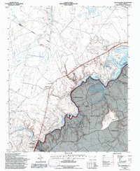 1994 Pollocksville1997 Print · USGSJones and Craven counties appear here in the mid-nineties as the Trent River landscape balances forest conservation and rural growth. Researchers can locate family landmarks like Simmons Corner and Jones Corner alongside historic sites like Wesley Chapel.2 unique versions available
 - 2011 Map of Pollocksville, 2011 Print
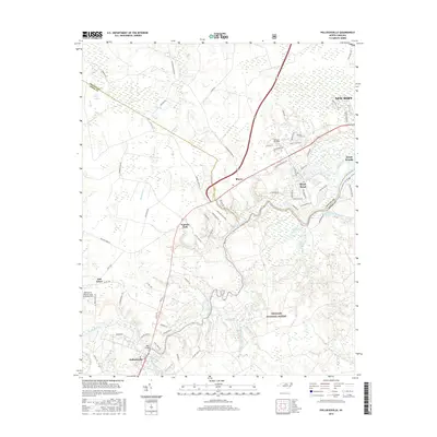
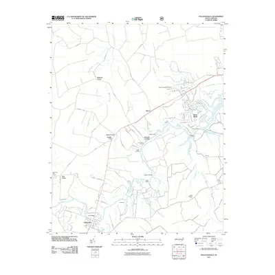 2011 Pollocksville2011 Print · USGSCovers Debruhls Landing, including New Bern, Trent Woods, and other nearby areas
 - 2013 Map of Pollocksville, 2013 Print
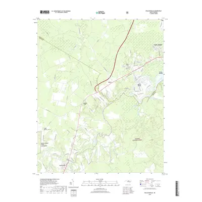
 2013 Pollocksville2013 Print · USGSCovers Debruhls Landing, including New Bern, Trent Woods, and other nearby areas
 - 2016 Map of Pollocksville, 2016 Print
 2016 Pollocksville2016 Print · USGSCovers Debruhls Landing, including New Bern, Trent Woods, and other nearby areas
 - 2019 Map of Pollocksville, 2019 Print
 2019 Pollocksville2019 Print · USGSCovers Debruhls Landing, including New Bern, Trent Woods, and other nearby areas
 - 2022 Map of Pollocksville, 2022 Print
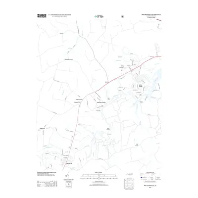
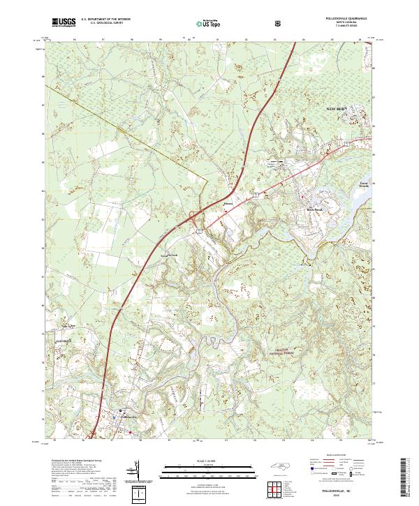 2022 Pollocksville2022 Print · USGSCoastal North Carolina's riverine landscape comes to life in this survey of the communities south of New Bern. Genealogists and researchers can trace the roads around Pollocksville, locate the Pollocksville Cem, and explore the edges of the Croatan National Forest.
End of results
Showing maps 1-12 of 12
Top cities near Debruhls Landing
- New Bern historical maps
- James City historical maps
- Trent Woods historical maps
- Brices Creek historical maps
- River Bend historical maps
- Fairfield Harbour historical maps
See more
Frequently asked questions
- What are the different types of historical maps available for Debruhls Landing?
- What is the oldest map of Debruhls Landing?
- Where can I purchase historical maps of Debruhls Landing for my home or office?
- Where can I download high-res historical maps of Debruhls Landing?
- Are there historical topographic maps available for Debruhls Landing?
- Is there historical aerial imagery available for Debruhls Landing?
- Where are historical maps of Debruhls Landing sourced from?