Old Maps of Franklin, North Carolina for Hiking & Exploration
Hike through history with 23 historic maps of Franklin. Explore old trails, ghost towns, and forgotten backroads — perfect for outdoor adventurers and local explorers.
- Rediscover forgotten places: Map out old mining camps, roads, and footpaths that no longer exist on modern maps.
- Layer with modern tools: Combine with LiDAR or satellite views to plan hikes through historical terrain.
- Made for exploration: Popular among hikers, overlanders, and local history lovers.
Use these maps to find adventure and explore the hidden past of Franklin.
Franklin, NC maps
(23)- 1891 Map of Cowee
 1891 Cowee1891 Print · USGSWestern North Carolina's high mountain reaches are captured here in the late nineteenth century as the railroad began to transform the region. Trace early transport routes like the Western North Carolina Railroad and Cowee Tunnel alongside old settlements at Franklin and Quallatown.
 - 1897 Map of Cowee
 1897 Cowee1897 Print · USGSThe Great Smoky Mountains and Blue Ridge foothills appear here in the 1890s, when the railroad first began to penetrate the high gaps. Trace family roots and mountain industry through old settlements like Quallatown, Sylva, and the Cowee Tunnel engineering site.4 unique versions available
 - 1907 Map of Cowee
 1907 Cowee1907 Print · USGSWestern North Carolina at the turn of the century shows a landscape of rail-connected river towns and high mountain gaps. Genealogists can trace early homesteads and industry through landmarks like West Mill, Roanes Mill, and the many settlements along the Southern Railway.5 unique versions available
 - 1935 Map of Franklin
 1935 Franklin1935 Print · USGSMacon County's mountain valleys and river bends are captured here in the mid-1930s just as the TVA began shaping the region. Genealogists and local historians can trace rural homesteads near Louisa Chapel, Burningtown School, and the Franklin Cem.
 - 1935 Map of Corbin Knob
 1935 Corbin Knob1935 Print · USGSMacon County in the mid-1930s is captured here just as modern power infrastructure began to reshape the valley around Franklin. Researchers can trace old mountain communities through a network of rural landmarks, including Higdonville, Sugar Fork Sch, and the Porters Bend Dam on the Little Tennessee River.
 - 1946 Map of Franklin
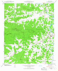 1946 Franklin1946 Print · USGSFranklin and the surrounding Nantahala foothills are shown here just after the war, when the river and mountain gaps defined local travel. Genealogists and historians can locate family landmarks like Slagle Memorial Church, the Fout Cem, and industrial sites like Deans Mill.8 unique versions available
 - 1946 Map of Corbin Knob, 1957 Print
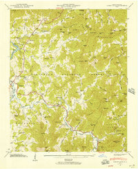 1946 Corbin Knob1957 Print · USGSMacon County mountain life is detailed here just after the war, showing the area surrounding the town of Franklin. Genealogists can locate family landmarks including Anbel Cem, Sloans Chapel, and early schools like Walnut Creek Sch.6 unique versions available
 - 1947 Map of Corbin Knob
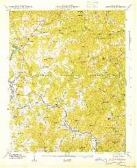 1947 Corbin Knob1947 Print · USGSMacon County in the late 1940s reveals a mountain landscape of deep river valleys and family-named peaks within the Nantahala National Forest. Researchers can trace rural school systems at Oak Ridge Sch and Higdon Sch or locate the ancient Nikwasi Indian Mound.2 unique versions available
 - 1955 Map of Knoxville
 1955 Knoxville1955 Print · USGSThe Southern Appalachians and the Smoky Mountains are shown here at a peak of mid-century development and conservation. Genealogists and historians can trace the early road networks connecting Gatlinburg, Waynesville, and the Cherokee Indian Reservation across the high ridges.
 - 1957 Map of Knoxville, 1966 Print
 1957 Knoxville1966 Print · USGSThe Southern Appalachians of Tennessee and North Carolina are mapped here during the mid-twentieth century as new highways reached the high country. Genealogists and historians can trace the topography between Knoxville and Asheville, locating family landmarks near Fontana Lake or along the Blue Ridge Parkway.4 unique versions available
 - 1960 Map of Knoxville
 1960 Knoxville1960 Print · USGSThe Southern Appalachians come alive in the 1950s, showing the intersection of new national park tourism and deep-rooted mountain industry. Trace old rail lines like the Clinchfield RR and find high-altitude landmarks from Mt Le Conte to the Cherokee Indian Reservation.2 unique versions available
 - 1964 Map of Knoxville
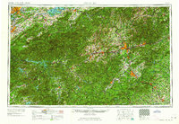 1964 Knoxville1964 Print · USGSThe Southern Appalachians and Great Smokies are captured here during the mid-sixties, showing the rugged borderlands of Tennessee and North Carolina. Researchers can trace historic mountain routes like U S 441, the expanse of Pisgah National Forest, and the growing footprints of Asheville and Knoxville.
 - 1983 Map of Fontana Lake
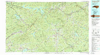 1983 Fontana Lake1983 Print · USGSWestern North Carolina's high peaks and reservoir-carved valleys are documented here during the early eighties. Genealogists and local historians can trace the mountain communities of Bryson City and Franklin or explore the boundaries of the Qualla Boundary.2 unique versions available
 - 2011 Map of Corbin Knob, 2011 Print
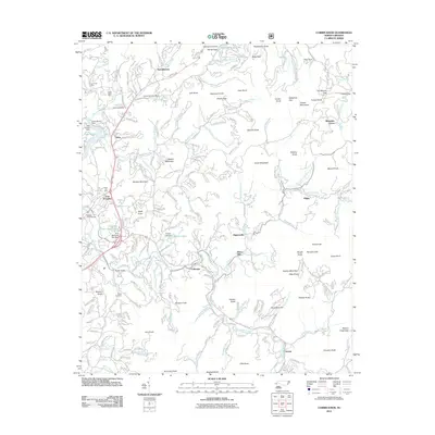 2011 Corbin Knob2011 Print · USGSThe Cowee Mountains of Macon County are documented here in the early 2000s, showing a landscape of high ridges and river valleys. Researchers can locate the Nikwasi Indian Mound and trace mining history at the Rocky Face Mine or Gem City Mine.
 - 2011 Map of Franklin, 2011 Print
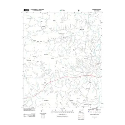 2011 Franklin2011 Print · USGSFranklin and the surrounding valley are captured in the early twenty-first century, showcasing a landscape shaped by the Little Tennessee River. Genealogists and historians can trace old milling sites like Malonee Mill and legacy mining locations such as the Rose Creek Mine.
 - 2013 Map of Franklin, 2013 Print
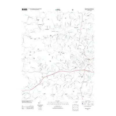 2013 Franklin2013 Print · USGSFranklin and its mountain coves appear in this survey of Macon County during the early twenty-first century. Genealogists and local researchers can trace family-named landmarks like Deans Mill, Malonee Mill, and the small community of Burningtown.
 - 2013 Map of Corbin Knob, 2013 Print
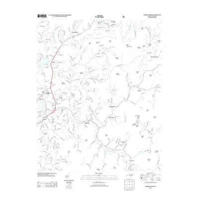 2013 Corbin Knob2013 Print · USGSMacon County's mountain valleys and river bends are captured here during the early twenty-first century. Genealogists and historians can trace family roots through the clusters at Brendletown and Gneiss, or locate the ancient Nikwasi Indian Mound near East Franklin.
 - 2016 Map of Franklin, 2016 Print
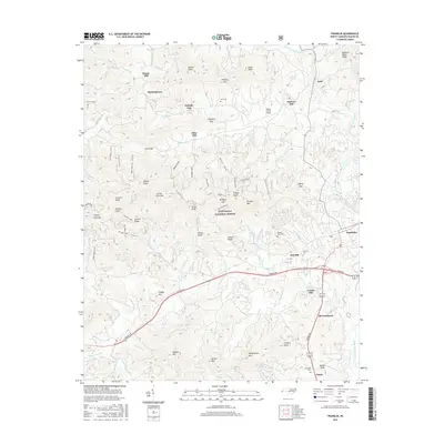 2016 Franklin2016 Print · USGSWestern North Carolina's high country is documented here in the mid-2010s, centered on the mountain community of Franklin. Genealogists and historians can trace family locations near historical industrial sites like Deans Mill, Malonee Mill, and the Franklin Cem.
 - 2016 Map of Corbin Knob, 2016 Print
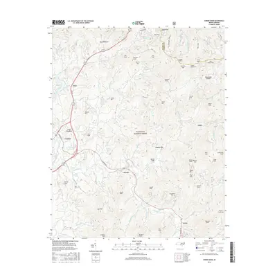 2016 Corbin Knob2016 Print · USGSThe Cullasaja River valley and the eastern edge of Franklin are documented here during the mid-2010s. Genealogists and local historians can trace family-named sites across the Cowee Mountains, including Angel Cem, Berry Mill, and the settlement of Gneiss.
 - 2019 Map of Corbin Knob, 2019 Print
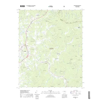 2019 Corbin Knob2019 Print · USGSMacon County's high-country terrain and river valleys are captured here in the late 2010s. Researchers can trace family names and local landmarks through sites like Angel Cem, the mining history at Corundum Hill, and the rural community of Gneiss.
 - 2019 Map of Franklin, 2019 Print
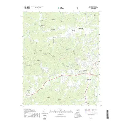 2019 Franklin2019 Print · USGSMacon County settlement is detailed here in the late twenty-teens, showing the confluence of the Little Tennessee River and Cartoogechaye Creek. Researchers can locate several family burial grounds and historical industrial sites, including Malonee Mill, McGhee Cem, and Burningtown.
 - 2022 Map of Franklin, 2022 Print
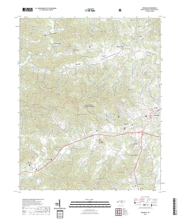 2022 Franklin2022 Print · USGSThe town of Franklin and the surrounding Nantahala National Forest are seen here in the early 2020s. Researchers can trace local history through sites like Saint John's Cartoogechaye Episcopal Church Cem, Malonee Mill, and Iotla.
 - 2022 Map of Corbin Knob, 2022 Print
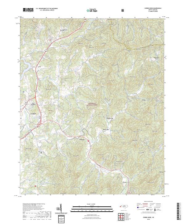 2022 Corbin Knob2022 Print · USGSMacon County in the early 2020s shows a landscape of deep valleys and high gaps where the Cowee Mountains meet the Cullasaja River. Researchers can trace old family sites and mountain settlements near Angel Cem, Berry Mill, and the community of Higdonville.
End of results
Showing maps 1-23 of 23
Top cities near Franklin
- Cullowhee historical maps
- Sylva historical maps
- Webster historical maps
- Forest Hills historical maps
- Dillard historical maps
- Sky Valley historical maps
See more
Top neighborhoods of Franklin
Frequently asked questions
- What are the different types of historical maps available for Franklin?
- What is the oldest map of Franklin?
- Where can I purchase historical maps of Franklin for my home or office?
- Where can I download high-res historical maps of Franklin?
- Are there historical topographic maps available for Franklin?
- Is there historical aerial imagery available for Franklin?
- Where are historical maps of Franklin sourced from?