Old Maps of Ivy Ridge, North Carolina for Genealogy
Trace your family roots with 15 historic maps of Ivy Ridge. These high-res maps reveal old neighborhoods, homesites, landmarks, and streets — helping you uncover where your ancestors lived and how the area evolved over time.
- Explore historic neighborhoods: Identify where your relatives may have lived in the 1800s or 1900s.
- Compare maps over time: Trace the changes in streets, buildings, and landmarks for multi-generational research.
- Perfect for genealogy & ancestry research: Used by family historians and researchers to map out lineage and migration.
These maps are an incredible resource for exploring your personal connection to Ivy Ridge's past.
Ivy Ridge, NC maps
(15)- 1894 Map of Asheville
 1894 Asheville1894 Print · USGSAsheville and the French Broad River valley are shown here in the 1890s, when rail travel was transforming the Southern Appalachians. Genealogists can locate family landmarks like Gudgers Mill, Pendletons Mill, and the early development of Biltmore.2 unique versions available
 - 1901 Map of Asheville
 1901 Asheville1901 Print · USGSWestern North Carolina at the turn of the century shows a mountain landscape adapting to the arrival of major railroads. Genealogists and historians can trace family-named peaks and early communities like Mars Hill, Hot Springs, and the estates at Biltmore.9 unique versions available
 - 1936 Map of Sams Gap
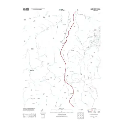
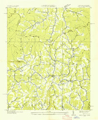 1936 Sams Gap1936 Print · USGSThe North Carolina and Tennessee borderlands come alive in the mid-1930s, showing a landscape of high ridges and deep hollows before modern development. Genealogists can trace family landmarks like Shelton Cem, English Bright Hope Sch, and the Flume Mill.
 - 1939 Map of Sams Gap, 1960 Print
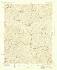
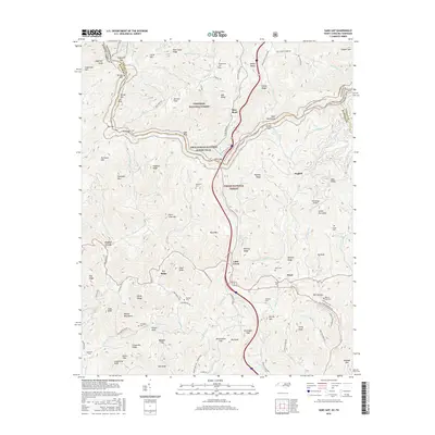
 1939 Sams Gap1960 Print · USGSThe high ridges of the North Carolina and Tennessee border come alive in this late 1930s survey. Genealogists and historians can trace family land near Blankenship Cem, Halls Store, and Upper Laurel Ch in the shadow of the Bald Mountains.5 unique versions available
 - 1940 Map of Sams Gap
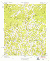
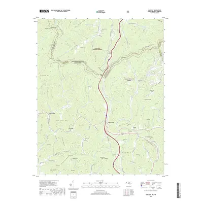
 1940 Sams Gap1940 Print · USGSThe high ridges of Madison County were still dominated by small-scale farming and forest life when this survey was completed. Genealogists can trace family footprints across Sams Gap through landmarks like the Robinson Cem, Higgins Chapel, and Halls Store.
 - 1955 Map of Knoxville
 1955 Knoxville1955 Print · USGSThe Southern Appalachians and the Smoky Mountains are shown here at a peak of mid-century development and conservation. Genealogists and historians can trace the early road networks connecting Gatlinburg, Waynesville, and the Cherokee Indian Reservation across the high ridges.
 - 1957 Map of Knoxville, 1966 Print
 1957 Knoxville1966 Print · USGSThe Southern Appalachians of Tennessee and North Carolina are mapped here during the mid-twentieth century as new highways reached the high country. Genealogists and historians can trace the topography between Knoxville and Asheville, locating family landmarks near Fontana Lake or along the Blue Ridge Parkway.4 unique versions available
 - 1960 Map of Knoxville
 1960 Knoxville1960 Print · USGSThe Southern Appalachians come alive in the 1950s, showing the intersection of new national park tourism and deep-rooted mountain industry. Trace old rail lines like the Clinchfield RR and find high-altitude landmarks from Mt Le Conte to the Cherokee Indian Reservation.2 unique versions available
 - 1964 Map of Knoxville
 1964 Knoxville1964 Print · USGSThe Southern Appalachians and Great Smokies are captured here during the mid-sixties, showing the rugged borderlands of Tennessee and North Carolina. Researchers can trace historic mountain routes like U S 441, the expanse of Pisgah National Forest, and the growing footprints of Asheville and Knoxville.
 - 1985 Map of Asheville
 1985 Asheville1985 Print · USGSWestern North Carolina during the mid-eighties shows a region of deep mountain heritage and expanding highway networks. Genealogists and historians can trace the foundations of Asheville alongside older rail corridors like the Clinchfield Railroad and the high elevations of Mount Mitchell.2 unique versions available
 - 2011 Map of Sams Gap, 2011 Print
 2011 Sams Gap2011 Print · USGSCovers Ivy Ridge, including Rice Bend, Little Creek, and other nearby areas
 - 2013 Map of Sams Gap, 2013 Print
 2013 Sams Gap2013 Print · USGSCovers Ivy Ridge, including Rice Bend, Little Creek, and other nearby areas
 - 2016 Map of Sams Gap, 2016 Print
 2016 Sams Gap2016 Print · USGSCovers Ivy Ridge, including Rice Bend, Little Creek, and other nearby areas
 - 2019 Map of Sams Gap, 2019 Print
 2019 Sams Gap2019 Print · USGSCovers Ivy Ridge, including Rice Bend, Little Creek, and other nearby areas
 - 2022 Map of Sams Gap, 2022 Print
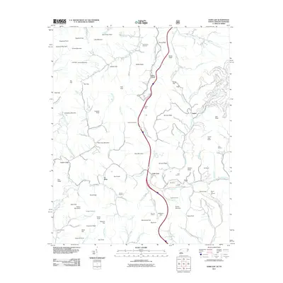
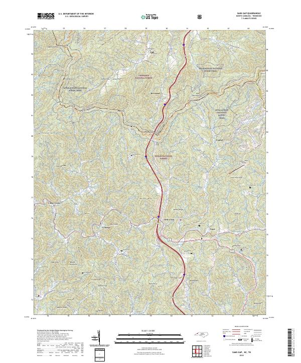 2022 Sams Gap2022 Print · USGSThe Tennessee and North Carolina borderlands come into focus in this recent survey of the high Blue Ridge ridges. Researchers can trace the Appalachian National Scenic Trail past remote family sites like Blankenship Cem and Robinson Cem.
End of results
Showing maps 1-15 of 15
Top cities near Ivy Ridge
- Greeneville historical maps
- Erwin historical maps
- Weaverville historical maps
- Mars Hill historical maps
- Marshall historical maps
- Hot Springs historical maps
Frequently asked questions
- What are the different types of historical maps available for Ivy Ridge?
- What is the oldest map of Ivy Ridge?
- Where can I purchase historical maps of Ivy Ridge for my home or office?
- Where can I download high-res historical maps of Ivy Ridge?
- Are there historical topographic maps available for Ivy Ridge?
- Is there historical aerial imagery available for Ivy Ridge?
- Where are historical maps of Ivy Ridge sourced from?