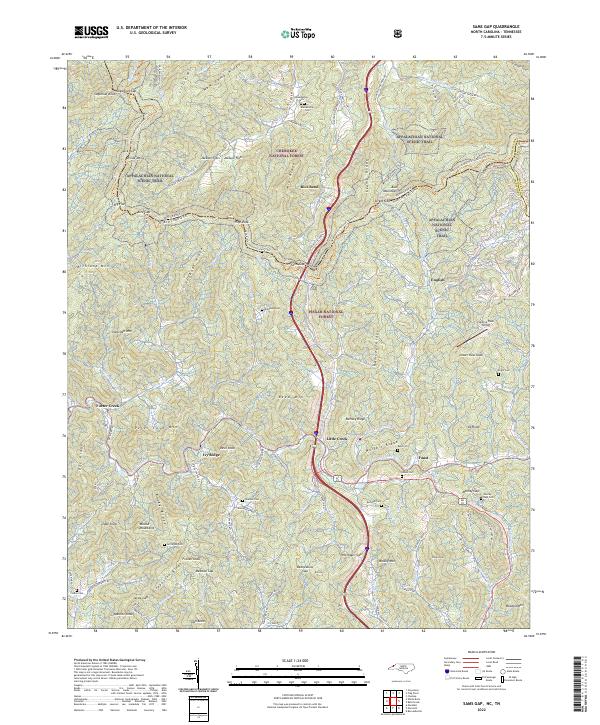
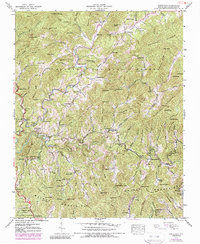
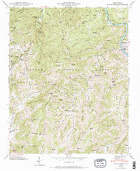
2022 Map of Sams Gap
USGS Topo · Published 2022About this map
Appalachian National Scenic Trail winds through the high ridges of the Cherokee National Forest and Pisgah National Forest, marking the state line between Tennessee and North Carolina. This rugged section of the Blue Ridge is anchored by Sams Gap, where the Old Asheville Hwy historically crossed the mountains. The landscape is defined by steep ridges like Hogback Ridge and Wolfpit Ridge, with small settlements such as Little Creek and Faust situated along the narrow valley floors.
Find a feature on this map
112 named features on this map. Tap any name to fly to it.
Don’t see what you’re looking for? This feature index may not catch every label — zoom into the map to look around manually.
Map Details
Editions of this 2022 Sams Gap Map
This is the sole edition of this map. No revisions or reprints were ever made.
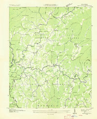
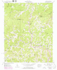
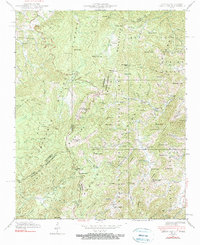
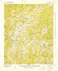
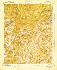
Historical Maps of Ivy Ridge Through Time
18 maps found

1935 Lemon Gap
Madison County, NC

1935 Spring Creek
Madison County, NC
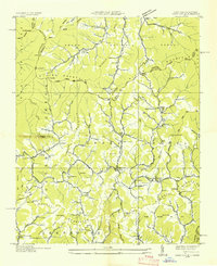
1936 Sams Gap
Madison County, NC
1936 White Rock
Madison County, NC
1939 Sams Gap
Madison County, NC
1939 White Rock
Madison County, NC
1940 Lemon Gap
Madison County, NC
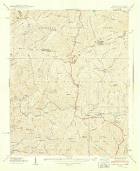
1940 Sams Gap
Madison County, NC
1940 White Rock
Madison County, NC
1946 Spring Creek
Madison County, NC
1947 Spring Creek
Madison County, NC
1997 Lemon Gap
Madison County, NC
2003 Paint Rock
Madison County, NC
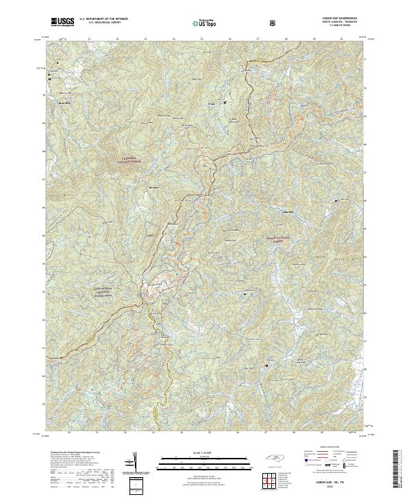
2022 Lemon Gap
Madison County, NC
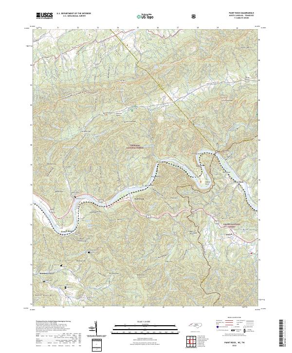
2022 Paint Rock
Madison County, NC
2022 Sams Gap
Madison County, NC
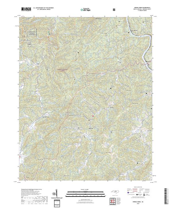
2022 Spring Creek
Madison County, NC
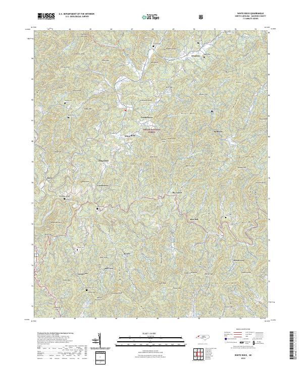
2022 White Rock
Madison County, NC