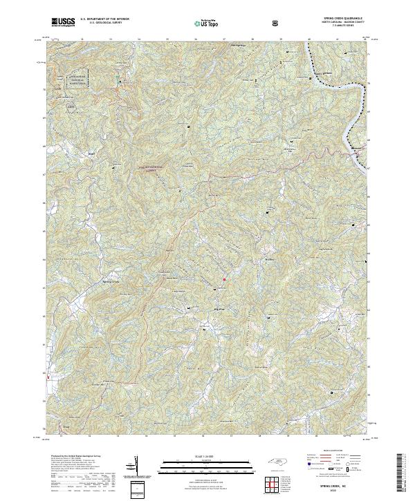
2022 Map of Spring Creek
USGS Topo · Published 2022About this map
The French Broad River flows through the northeastern corner of this Madison County landscape, passing the settlement of Sandy Bottom near the foot of Gladden Ridge. This modern topographic study reveals a terrain of sharp ridges and deep coves within the Pisgah National Forest, where the Appalachian National Scenic Trail winds across Stony Spur and Long Mtn. The map is particularly rich for genealogical research, documenting numerous small family burial grounds such as Goforth Cem, Treadway Cem, and Lunceford Cem that dot the hillsides between Spring Creek and Big Pine. Local transit follows the winding contours of the land, with routes like Big Pine Rd and State Rd 1159 connecting isolated homes and small communities. Significant landforms like Rector Butt and Leadmine Ridge dominate the central topography, illustrating the complex drainage patterns of the Little Bottom Br and Squirrel Br watersheds.
Find a feature on this map
156 named features on this map. Tap any name to fly to it.
Don’t see what you’re looking for? This feature index may not catch every label — zoom into the map to look around manually.
Map Details
Editions of this 2022 Spring Creek Map
This is the sole edition of this map. No revisions or reprints were ever made.
Other maps of this area

1894 · Asheville
USGS Topo · 1:125,000

1901 · Asheville
USGS Topo · 1:125,000

1935 · Paint Rock
USGS Topo · 1:24,000

1935 · Hot Springs
USGS Topo · 1:24,000

1935 · Spring Creek
USGS Topo · 1:24,000

1935 · Lemon Gap
USGS Topo · 1:24,000

1936 · Marshall
USGS Topo · 1:24,000

1936 · Sandymush
USGS Topo · 1:24,000

1936 · White Rock
USGS Topo · 1:24,000

1936 · Hepco
USGS Topo · 1:24,000